Sehens- & Wissenswertes
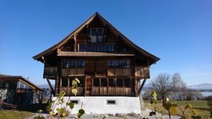
| Km 3.5 | Von Wädenswil wandern wir auf dem reizvollen Uferweg nach Richterswil. In Richterswil bewundern wir einige gut erhaltene Fachwerkhäuser und das denkmalgeschützte Bahnhofsgebäude.
 Wer den bequemeren Weg gehen möchte, bleibt auf dem Seeuferweg, muss allerdings über eine längere Strecke der stark befahrenen Strasse folgen Der etwas strengere, aber attraktivere Weg führt ab dem Bahnhof Richterswil dem Zürichsee-Rundweg (Nr. 84) entlang. Wir steigen ca. 150 Höhenmeter empor, unter anderem auf dem “Pilgerweg”. Beim Wegweiser «Schwalbenboden» verlassen wir den Zürichsee-Rundweg, wandern entlang von Weinbergen und erreichen den Ort Wollerau. Weiter nach Wilen b. Wollerau und hinunter nach Freienbach. |
| Km 9 | Freienbach liegt im Kanton Schwyz. Zum Gemeindegebiet gehören die Inseln Ufenau und Lützelau, aber auch ein Teil des Etzelpasses (Übergang nach Einsiedeln, auch Teil des Jakobsweges). Die beiden Inseln werden in einer Urkunde des Klosters St. Gallen 741 erwähnt. Von Freienbach gelangen wir der Bahnlinie entlang nach Pfäffikon.
|
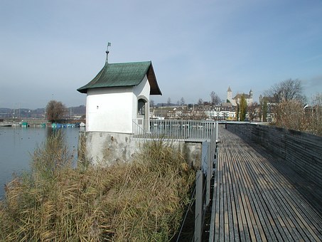
| Km 11.5 | Pfäffikon. Ein Holzsteg zur gegenüberliegenden Seeseite über die Halbinsel Hurden kann ab ca. 1500 v. Chr. nachgewiesen werden. Seit 1878 besteht mit dem Seedamm von Rapperswil eine feste Verbindung. Gegen Süden erstreckt sich Pfäffikon bis hinauf zum Etzelpass. Somit war Pfäffikon schon immer ein Verkehrsknoten entlang des Zürichsees, einerseits und von Rapperswil–Jona Richtung Einsiedeln, andererseits.
|
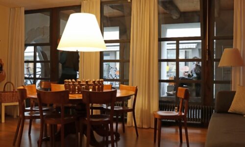
| Km 17 | Hinweis: Wer in dieser Region des Zürichsees gerne einige Tage verweilen möchte und von dort Ausflüge nach Tuggen, Rapperswil, etc. machen möchte, dem bietet sich mit dem Hotel Seedamm Plaza in Pfäffikon eine ideale Unterkunft an. Das Hotel liegt ca. 10 Min. Fussmarsch von der Schlosskapelle entfernt.
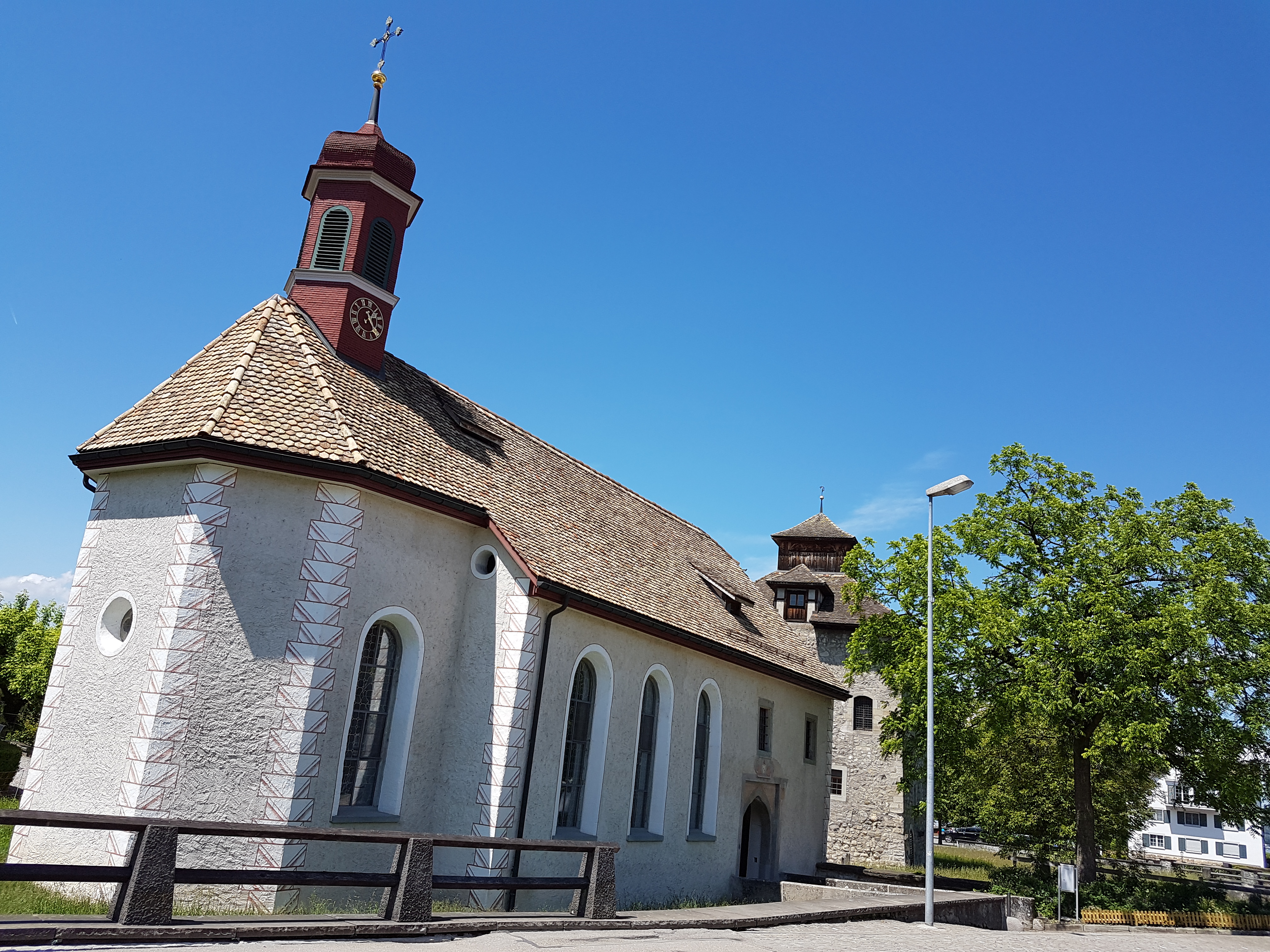
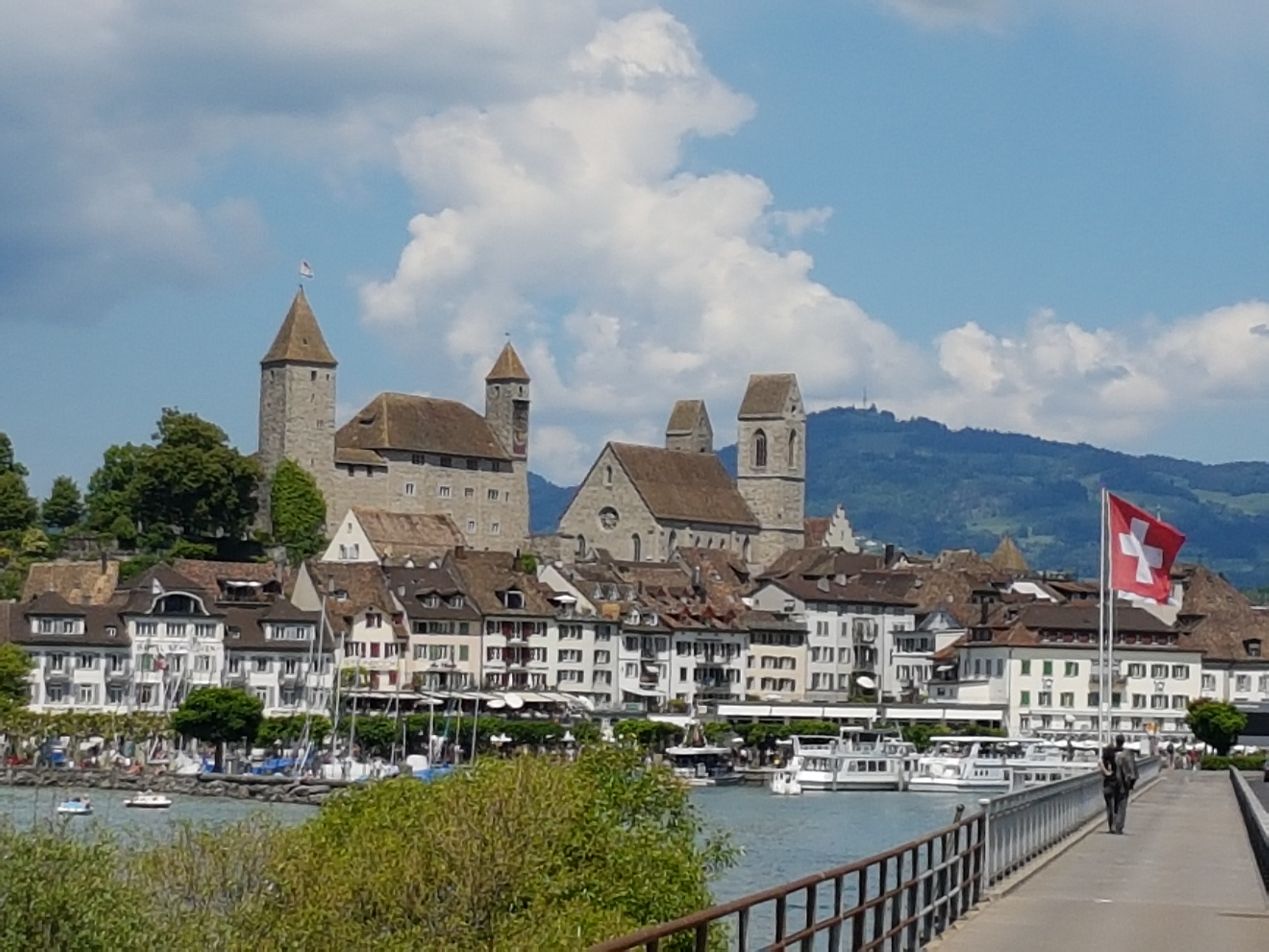
Auch Rapperswil ist ein Knotenpunkt, vereinigen sich doch hier die beiden Stränge des Jakobswegs von Konstanz bzw. von Rorschach. Da die heutige Etappe eher kurz ist, können wir ab Rapperswil mit der Eisenbahn nach Einsiedeln fahren. Die Fahrzeit beträgt 30-45 Minuten. Es verkehren mehrere Züge pro Stunde. Ein Besuch des grossen und bekannten Wallfahrtsorts Einsiedeln lohnt sich unbedingt. Rapperswil. Unser heutiger Etappenort blickt auf eine über 5000 jährige Geschichte zurück. Eine Inselsiedlung ca. 1650 v. Chr. ist nachgewiesen, Pfahlfunde, die eine Brückenverbindung zum Seeufer vermuten lassen, datieren in etwa um dieselbe Zeit. Um die Zeitenwende herum siedelten Kelten und Römer hier und zahlreiche Funde entlang der Küste legen nahe, dass diese Gegend während der Römerzeit recht dicht besiedelt war. In Rapperswil gibt es einiges zu sehen: das Rathaus (einst Wachtturm aus der ersten Hälfte des 13. Jh), das Schloss (1220-1230 erbaut) mit Polenmuseum , das Heilighüsli im See, das Kapuzinerkloster, sowie zahlreiche schöne Häuser aus dem 17. und 18. Jh. Im Stadtmuseum ist die Geschichte der Stadt nachgezeichnet. Das Wappen weist Rapperswil als “Rosenstadt” aus dank der vielen Rosengärten. Rapperswil beherbergt eine Technische Hochschule sowie den Zirkus Knie (1803 gegründet), der grösste Schweizer Zirkus mit seinem Kinderzoo. 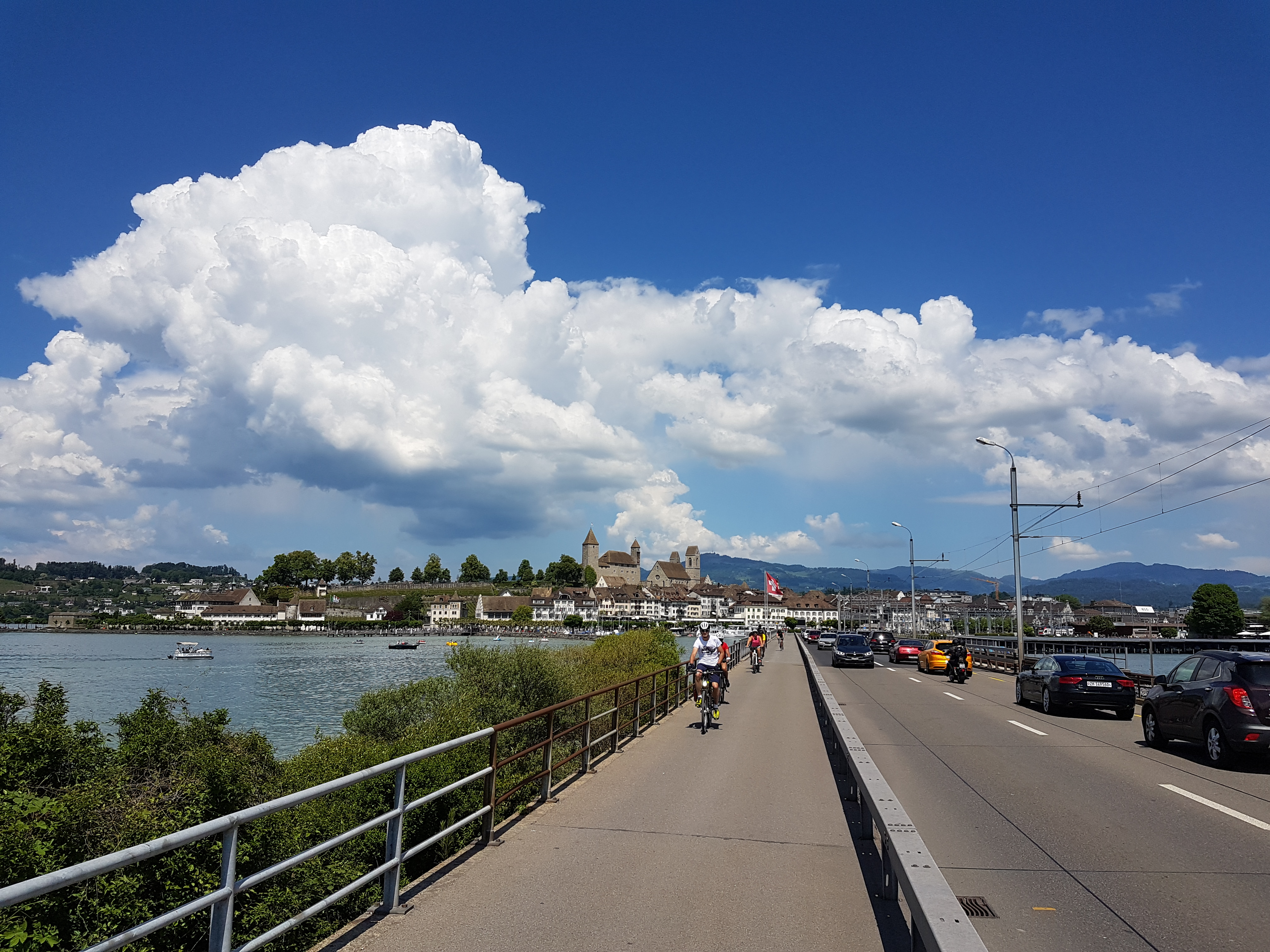
In Rapperswil einen Ruhetag einzulegen lohnt sich, sind wir doch bereits eine Woche unterwegs. Zudem: der erwähnte Ausflug nach Einsiedeln kann etwas ausgedehnt werden. Und ein zweiter Ausflug ist möglich; nach Tuggen, dem Ort, an dem die Mönchsgruppe zu viel missionarischen Eifer an den Tag gelegt hat und darum vertrieben wurde. Auch nach Tuggen gibt es gute öffentliche Verkehrsmittel: ab Rapperswil verkehrt alle 30 Minuten ein Zug nach Uznach mit Postauto-Anschluss nach Tuggen. Fahrzeit rund 20 Minuten. |