Ab Hohenems kann weitgehend den gelb-weissen Wanderwegweisern “Rheintalweg” und “Römerweg” gefolgt werden.
Interessant ist, dass wir am Südende von Hohenems innerhalb einer Distanz von rund 3 Km 3 Friedhöfe von 3 verschiedenen Religionsgemeinschaften passieren: zuerst den christlichen Friedhof bei der St. Antonkapelle, dann den jüdischen Friedhof (Hohenems kannte bis zum Krieg eine grosse jüdische Gemeinde) und schliesslich den neuen islamischen Friedhof (Hohenems zählt rund 10% muslimische, vorwiegend türkisch-stämmige, Einwohner).
Sehens- & Wissenswertes
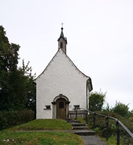
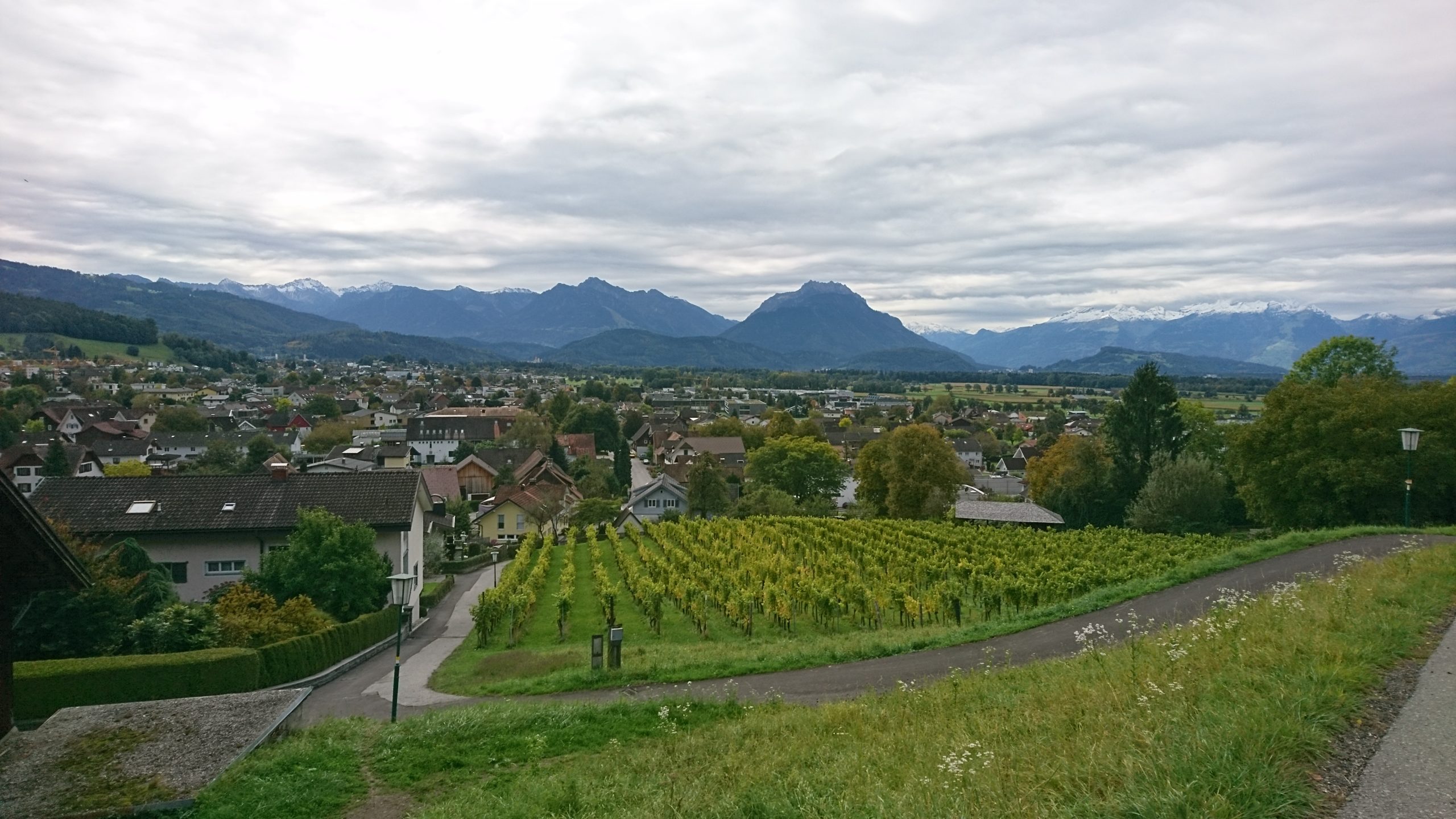
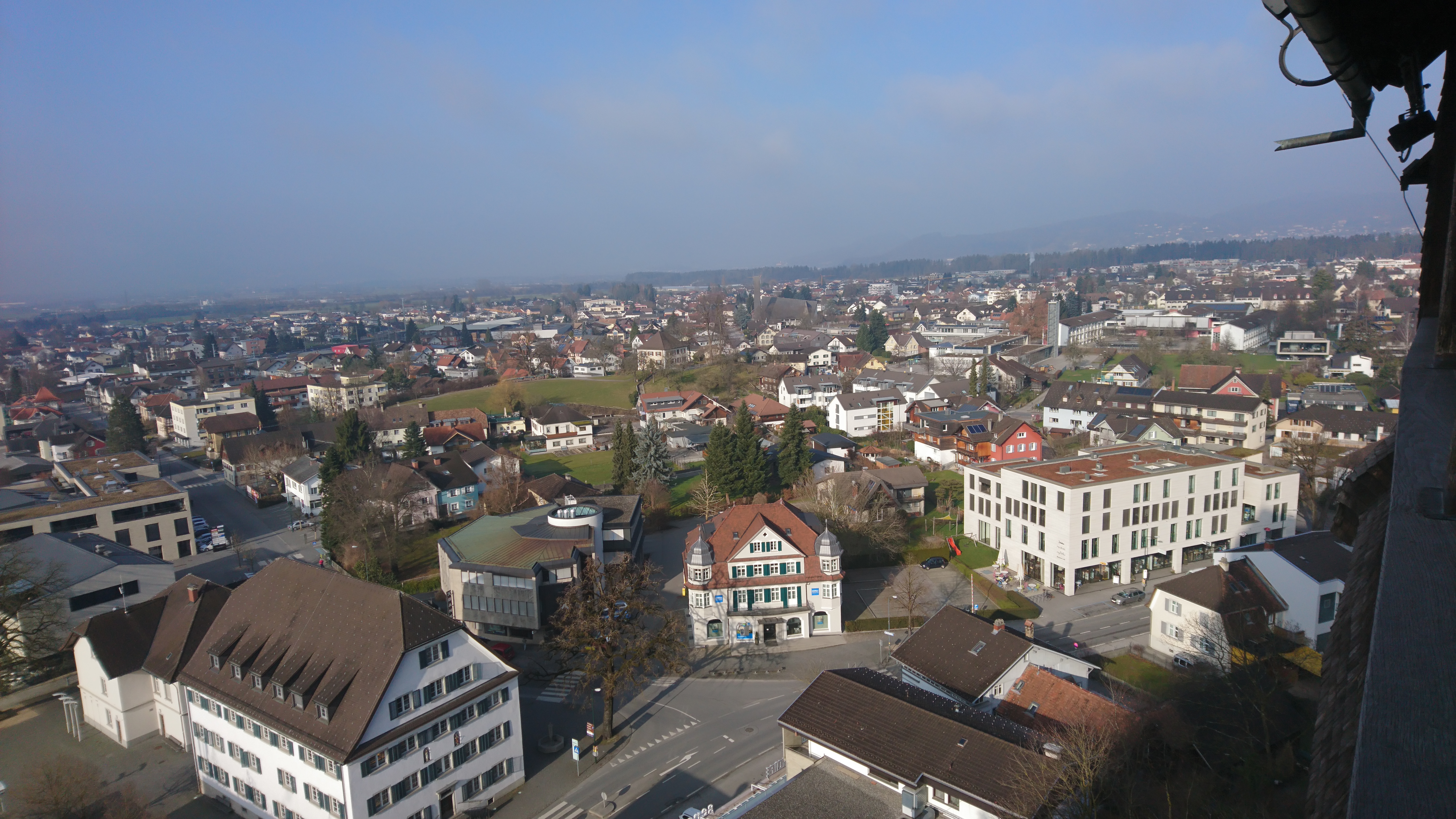
| Km 5 | Götzis. Am Dorfeingang von Götzis erblicken wir leicht erhöht die Kobel-Kapelle.
1797 errichtet erinnert sie an die Kämpfe, die die Bewohner gegen Napoleons Heere austrugen. Bei Grabungen wurde das Fundament des Turmes von 1340 gefunden. Um 1509 wurde die dem hl. Ulrich geweihte Kirche vergrößert und 1514 neu geweiht. Die Burgruine Neu-Montfort ist das Wahrzeichen von Götzis und wurde auf dem Ausläufer des Therenberges zwischen 1311 und 1319 durch die Grafen von Montfort erbaut. 50 Jahre später verkauften sie ihre Herrschaft an die Habsburger, die damit im Jahre 1363 das erste Stück Vorarlbergs erwerben konnten. |
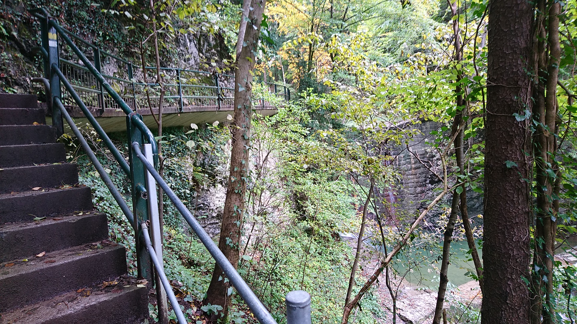
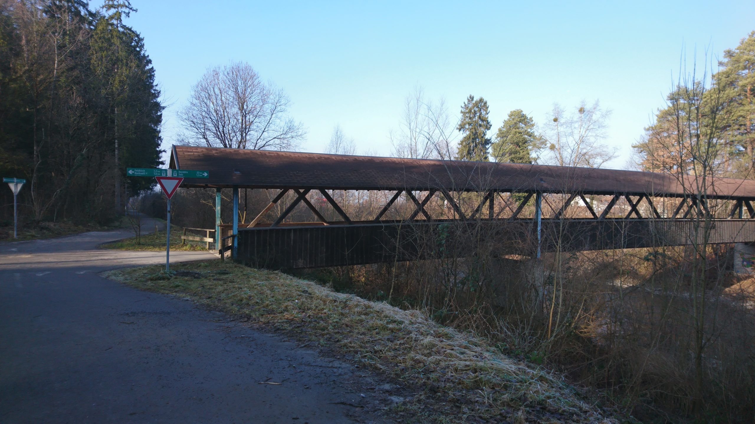
Von Götzis wandern wir durch die wildromantische Örflaschlucht
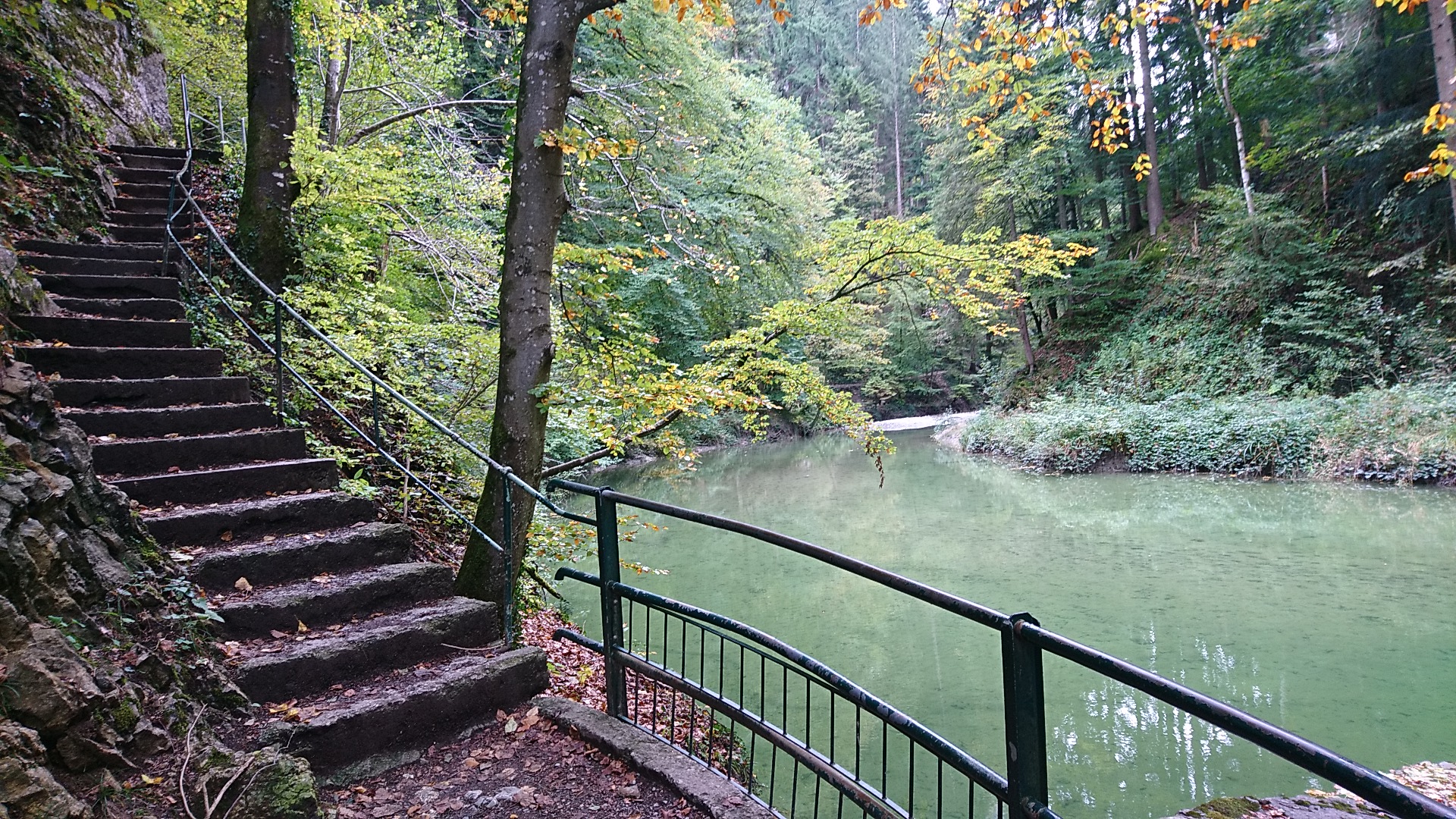
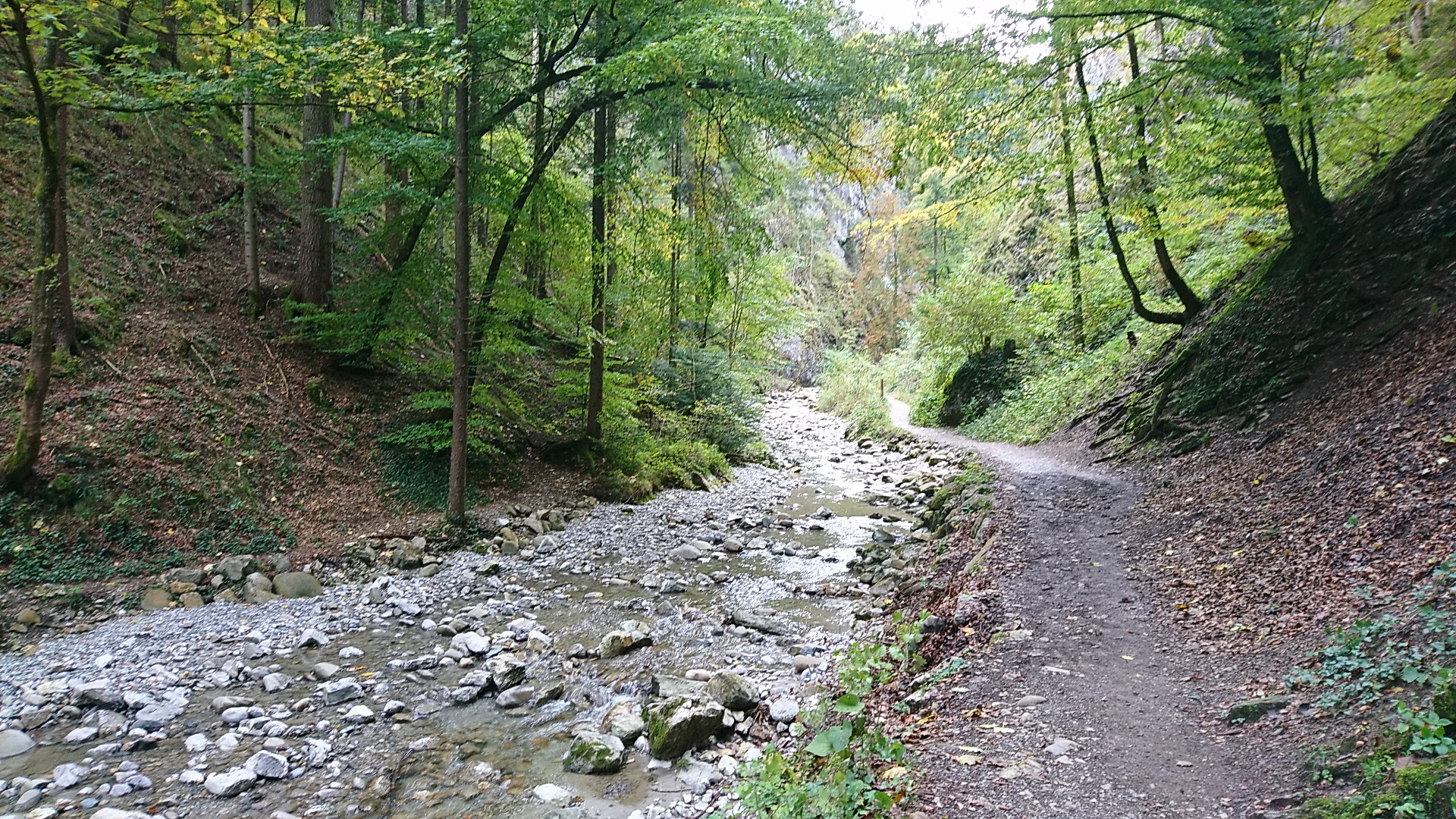
nach St. Arbogast
und nach Klaus. Die Wallfahrtskapelle St. Arbogast wurde zu Beginn des 18. Jahrhunderts erbaut, erstmals erwähnt allerdings bereits 1473. Seit 1767 finden alljährlich von Mai bis September jeweils am Samstag Bittprozessionen statt.
Auf dem weiteren Weg nach Klaus kommen wir an der St. Loy-Kapelle vorbei, 1648 errichtet. Loy, französisch für Eligius, wird in Vorarlberg stark verehrt.
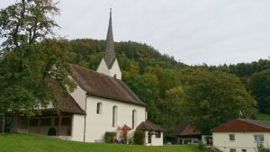
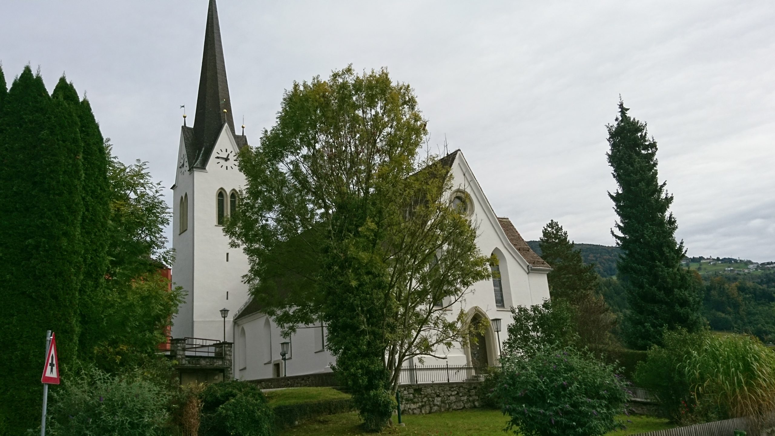
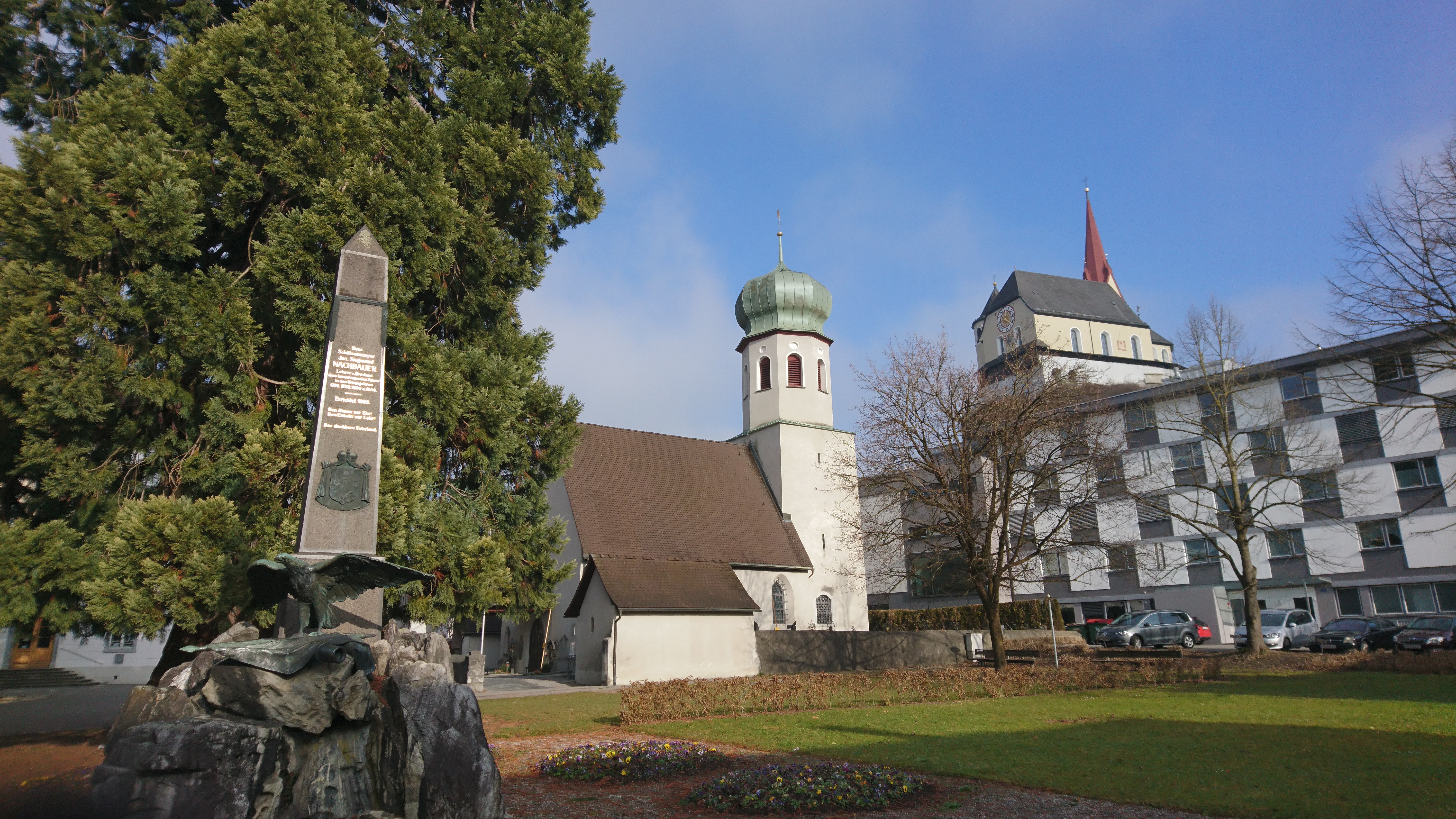
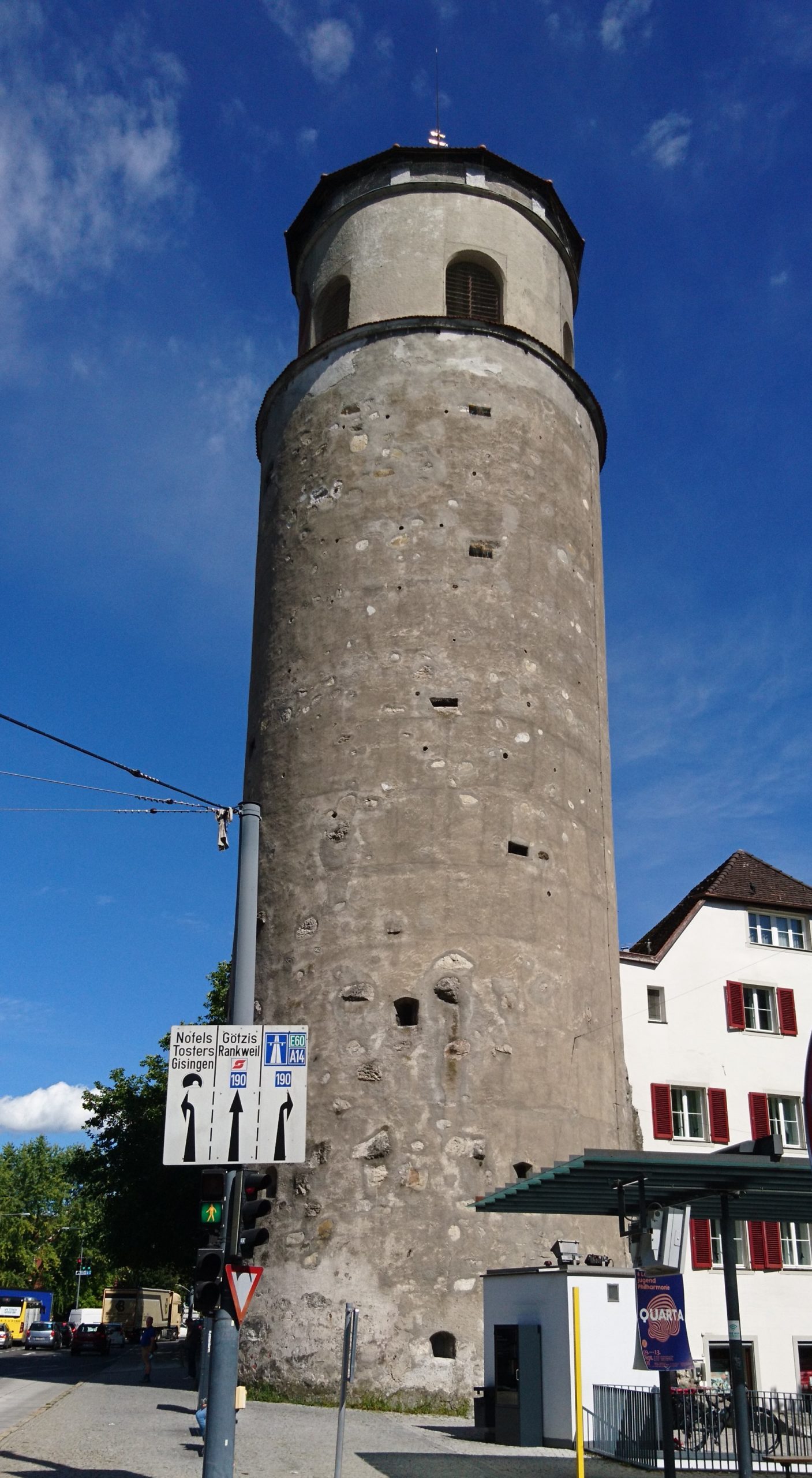
| Km 10 | Klaus. Der Ortsname wurde 890 erstmals urkundlich als „Kalchern“ erwähnt, was an die seinerzeitigen Kalköfen erinnert. Eine Kapelle wurde 1265 urkundlich genannt. Um 1500 wurde eine Kirche erbaut und der hl. Agnes geweiht.
|
| Km 15 | Rankweil. Bekannt ist Rankweil als Wallfahrtsort durch die 1985 zur Basilica minor erhobenen Liebfrauenbergkirche. Erbaut wurde sie 1657/1658.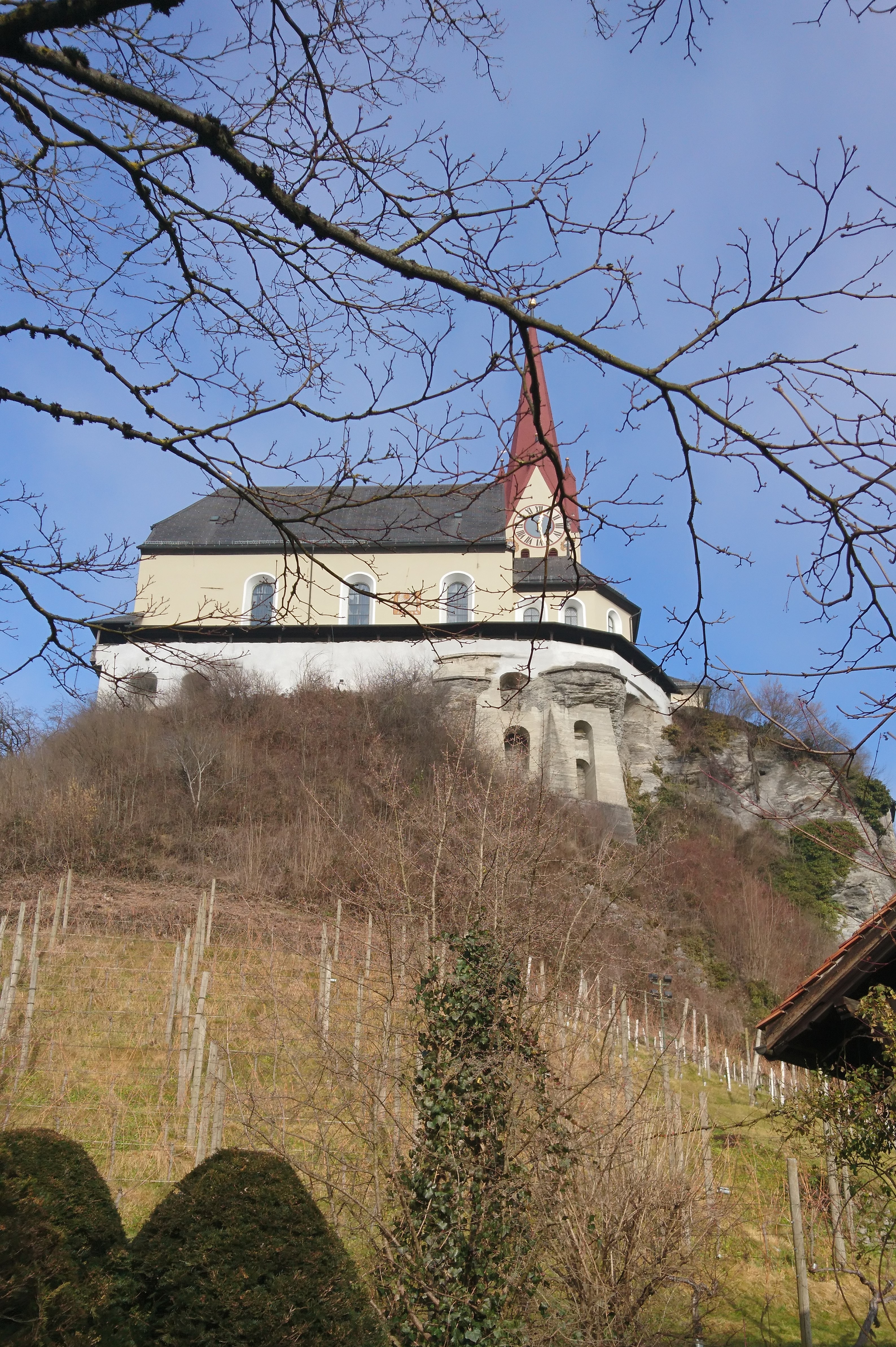
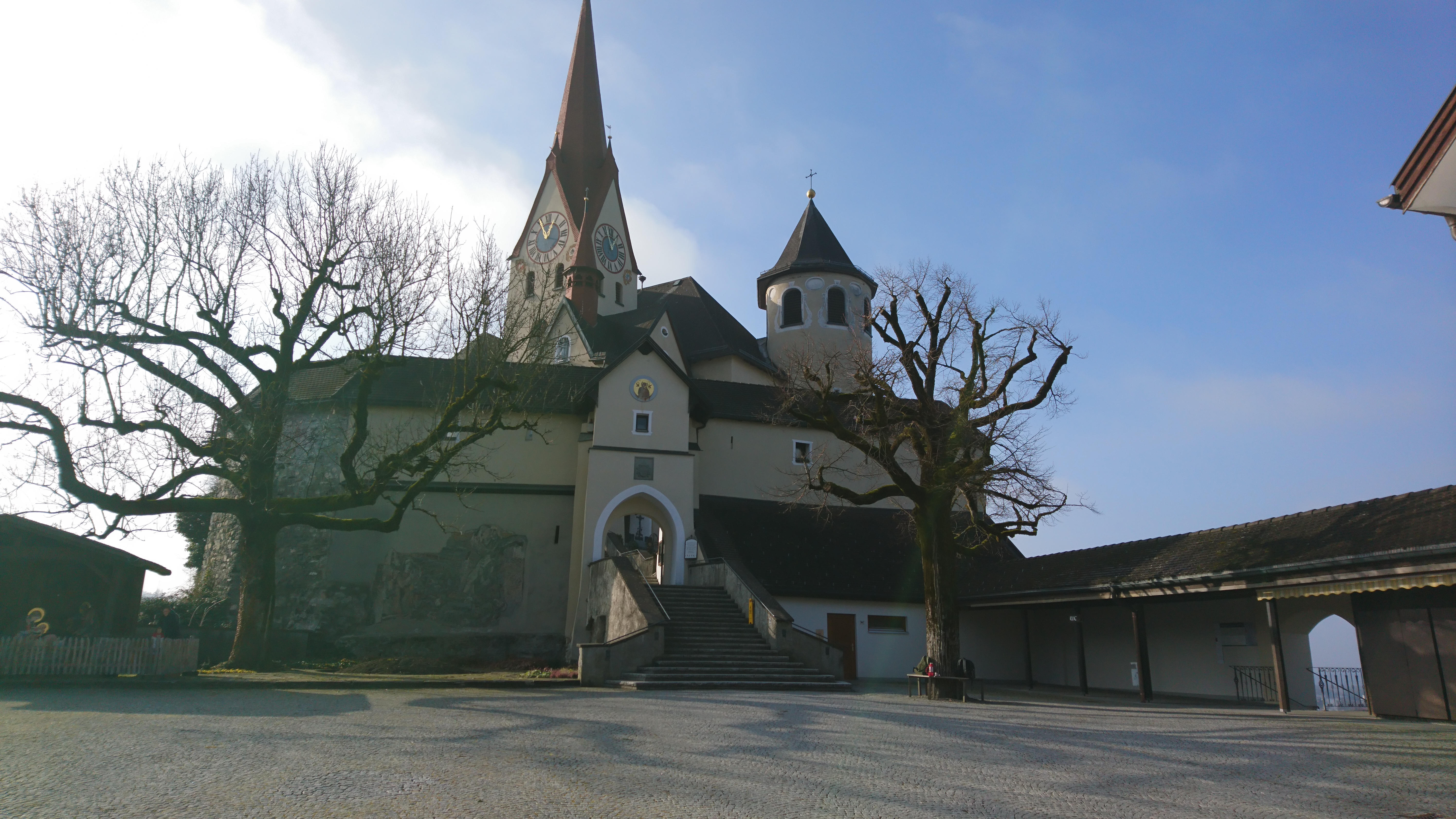
Zur Zeit des Römischen Reiches war das heutige Rankweil ein wichtiger Verkehrsknotenpunkt, an dem die befestigten römischen Straßen zusammenliefen, unter anderem die Hauptverkehrsstrasse von Chur nach Augsburg. Die erste urkundliche Erwähnung erfolgte 842. |
Vorbei am sich in Privatbesitz befindenden Schloss Amberg, 1417 durch Kurfürst Ludwig III. von der Pfalz erbaut, gelangen wir an unseren heutigen Etappenort
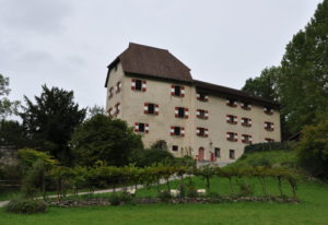
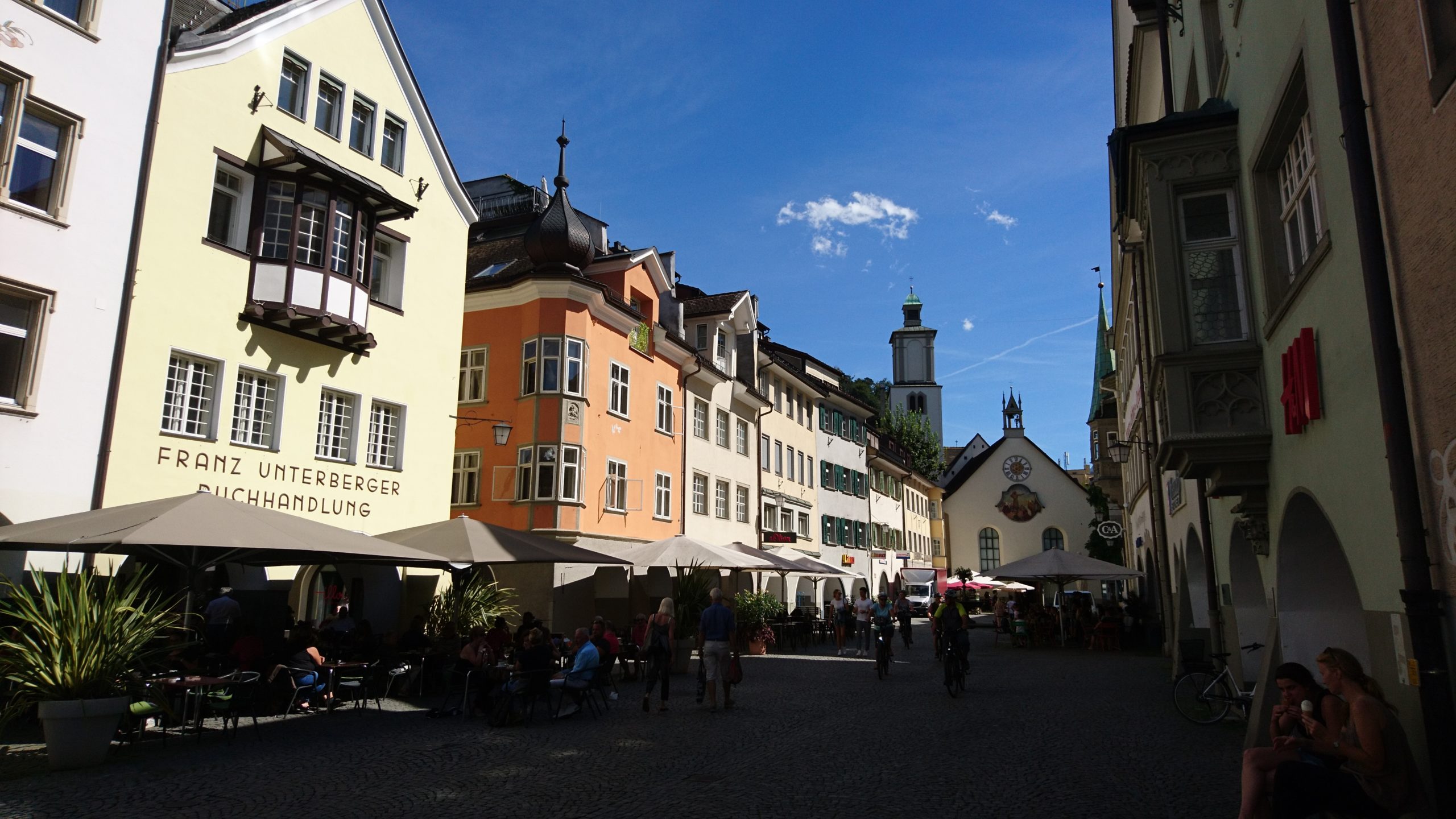
| Km 22 | Feldkirch. Sehenswert in Feldkirch ist das Kloster St. Johann, das lange Zeit zum Benediktinerkloster in Weingarten gehörte. Ebenfalls interessant ist die über Feldkirch thronende Schattenburg (mit Museum und Restaurant). Die hochmittelalterliche Burg stellt eine der besterhaltenen Burganlagen Mitteleuropas dar. Erbaut wurde die Burg um 1200 von Graf Hugo, dem Gründer der Stadt Feldkirch.
In der Zeit der frühmittelalterlichen Christianisierung war das Gebiet des heutigen Vorarlberg auf die drei Bistümer Augsburg, Chur und Konstanz aufgeteilt. Wie Liechtenstein zählten Feldkirch, der Walgau, das Klostertal und das Montafon zum Bistum Chur. Nach der bayerischen Verwaltung und Rückkehr an Österreich wurden die Vorarlberger Teile der Bistümer 1816 zusammengefasst und an das Bistum Brixen abgetreten. 1818 entstand in Feldkirch ein Generalvikariat für Vorarlberg, das auch nach dem Ersten Weltkrieg im Rahmen der Apostolischen Administration Innsbruck-Feldkirch bestehen blieb. 1968 erfolgte die Einrichtung des Bistums Feldkirch. 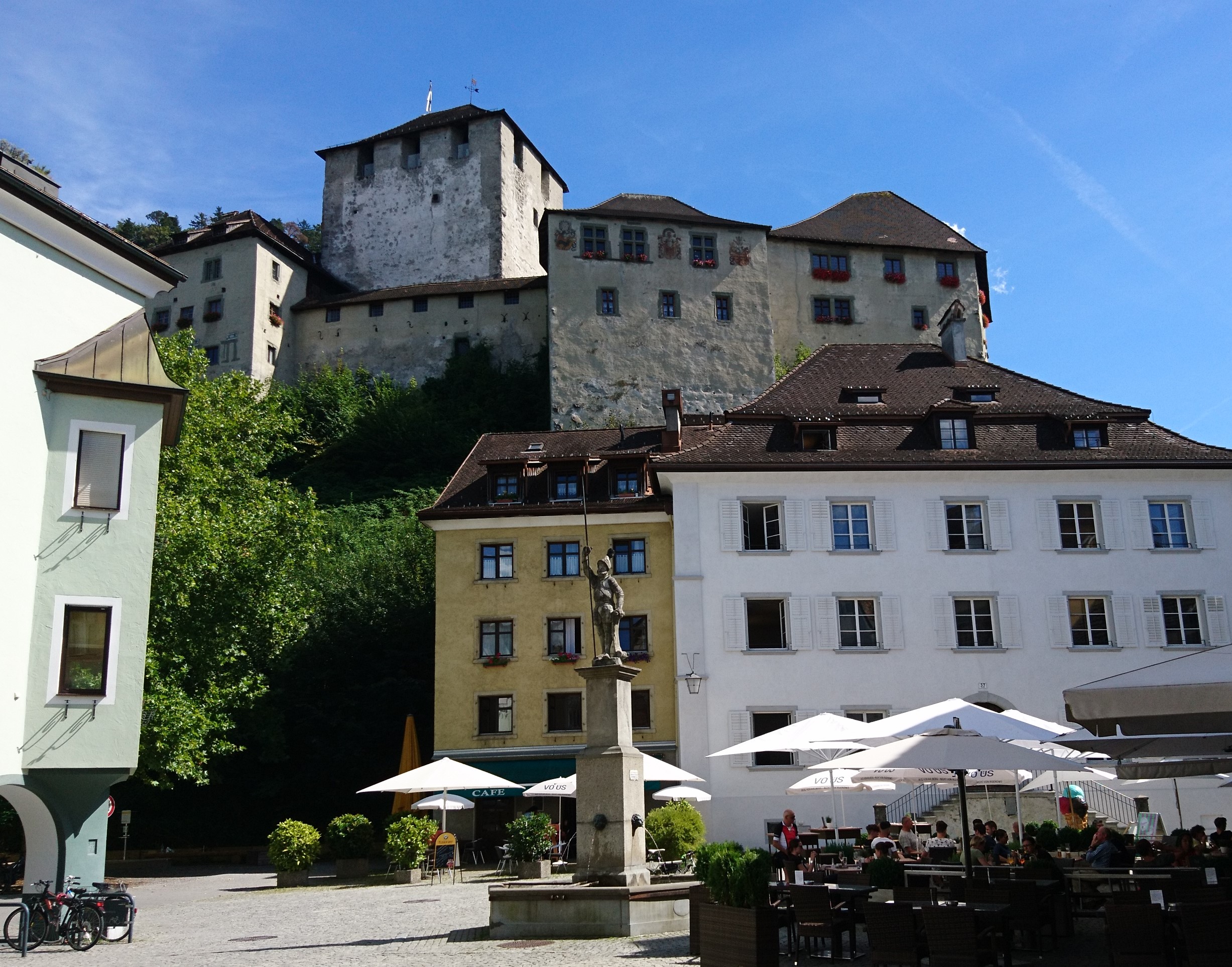

|