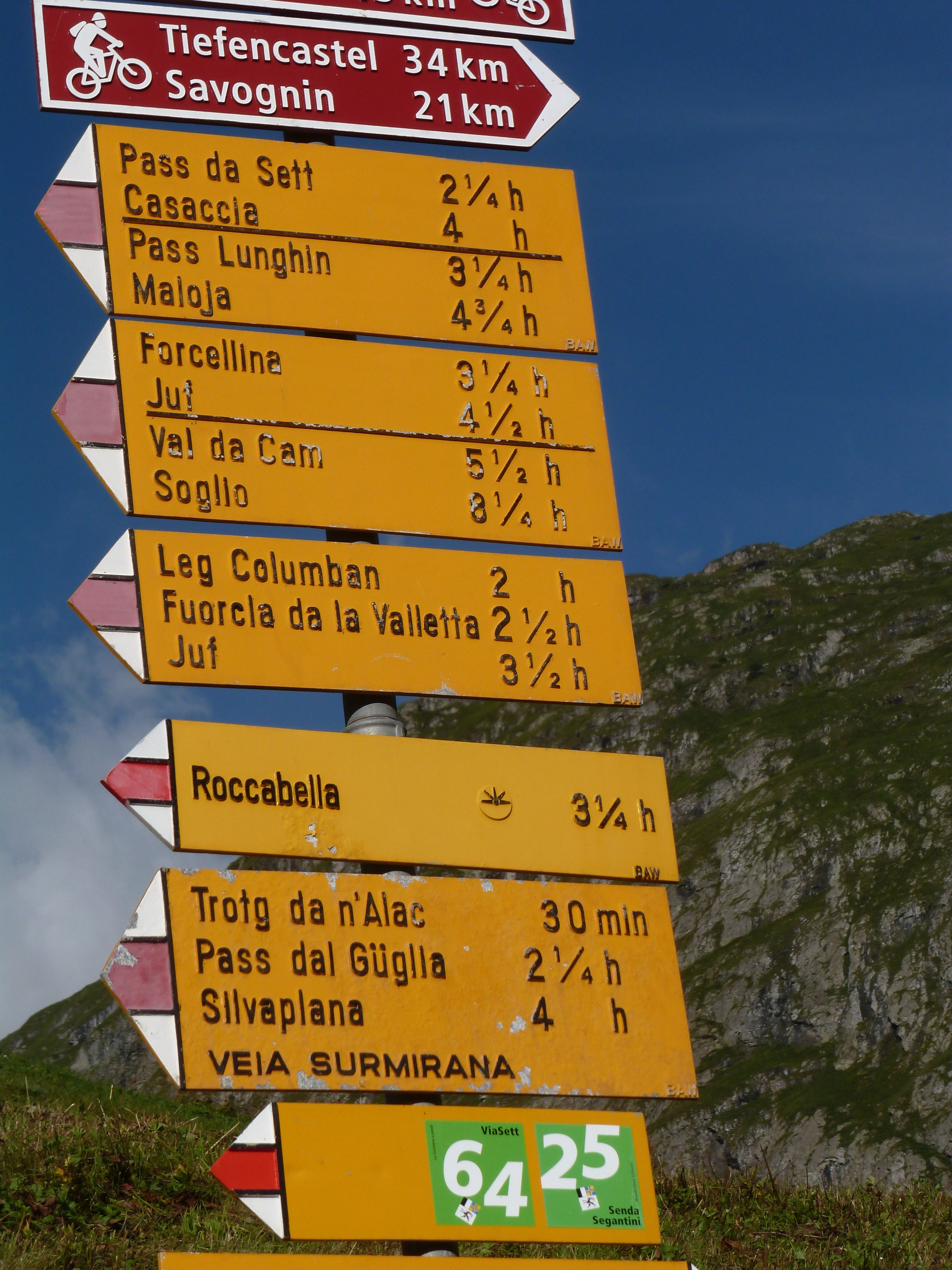
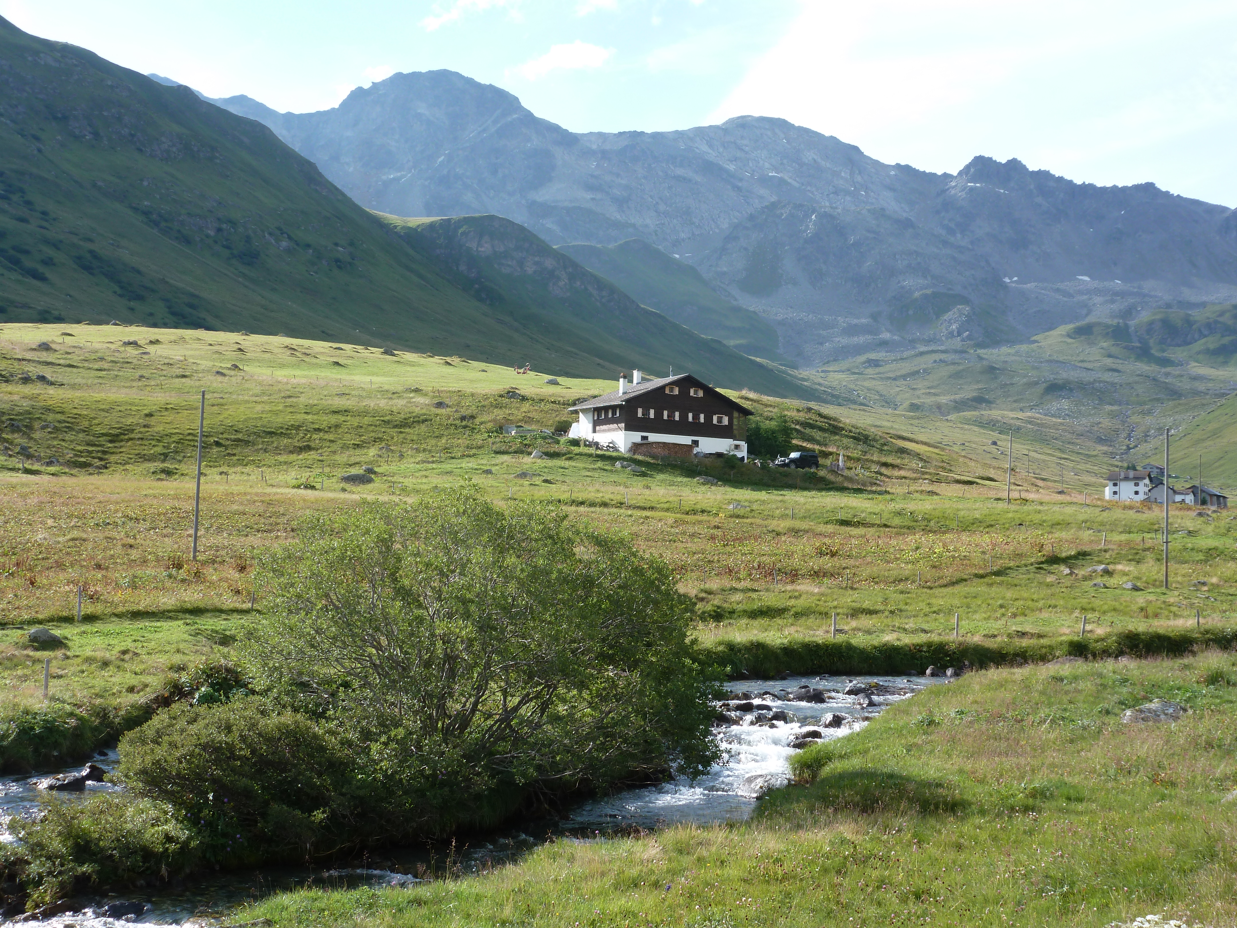
Wir verlassen Bivio und folgen den Wegweisern zum Septimer-Pass bzw. der Via Sett (Nr. 64). Über schöne Alpen wandernd geniessen wir herrliche Aussichten auf die umliegenden Berge. Am Dorfausgang von Bivio weist ein Wanderwegweiser auf den Leg Columban (Columbansee), ein Hinweis darauf, dass Kolumban und seine Gefährten mit hoher Wahrscheinlichkeit diesen Weg genommen haben.
Sehens- & Wissenswertes
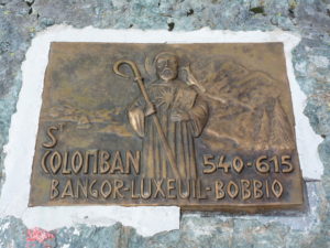
| Km 7 | Passhöhe Septimer. Auf leicht ansteigendem Weg überwinden wir die Höhendifferenz von knapp 550 m. Bei der Passhöhe bemerken wir rechts leicht oberhalb des Weges die Kolumbansplakette, eingelassen in einen Felsblock. Diese Plakette wurde durch die französische Vereinigung der Freunde von Kolumban in Luxeuil installiert.
 Mit 2310 müM erreichen wir auf der Passhöhe den höchsten Punkt des gesamten Kolumbansweges, zugleich Wasserscheide. Vom nahen Piz Lunghin aus fliessen drei Flüsse in verschiedene Meere: der Inn (via Donau) ins Schwarze Meer, die Mera (via Po) ins Adriatische Meer und die Julia (via Rhein) in die Nordsee. Vom Septimerpass aus lassen sich zwei weitere Pässe überschreiten: nach Westen die Forcellina (2672 m) ins Avers-Tal, nach Osten der Lunghinpass (2645 m) ins Oberengadin. 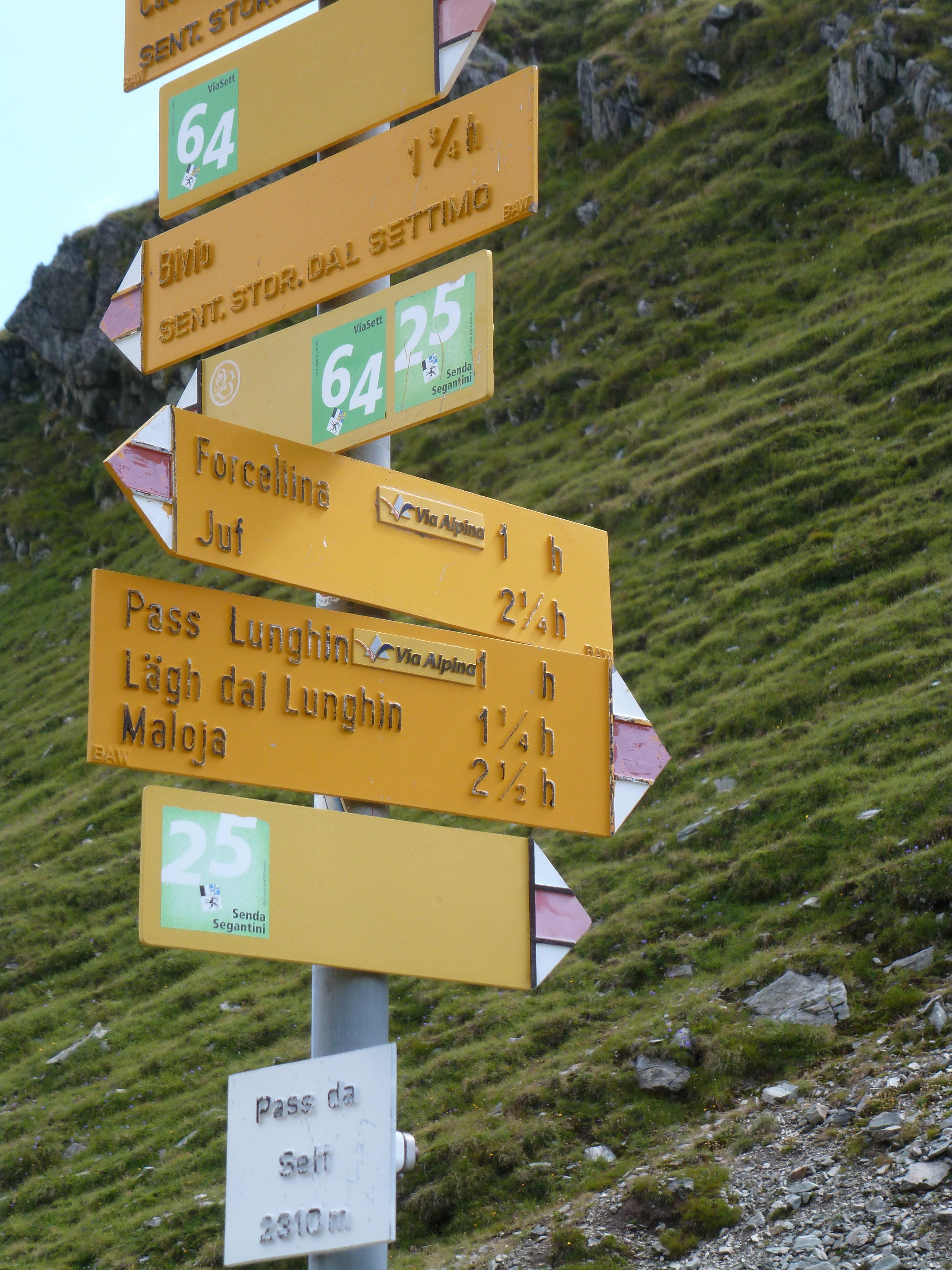
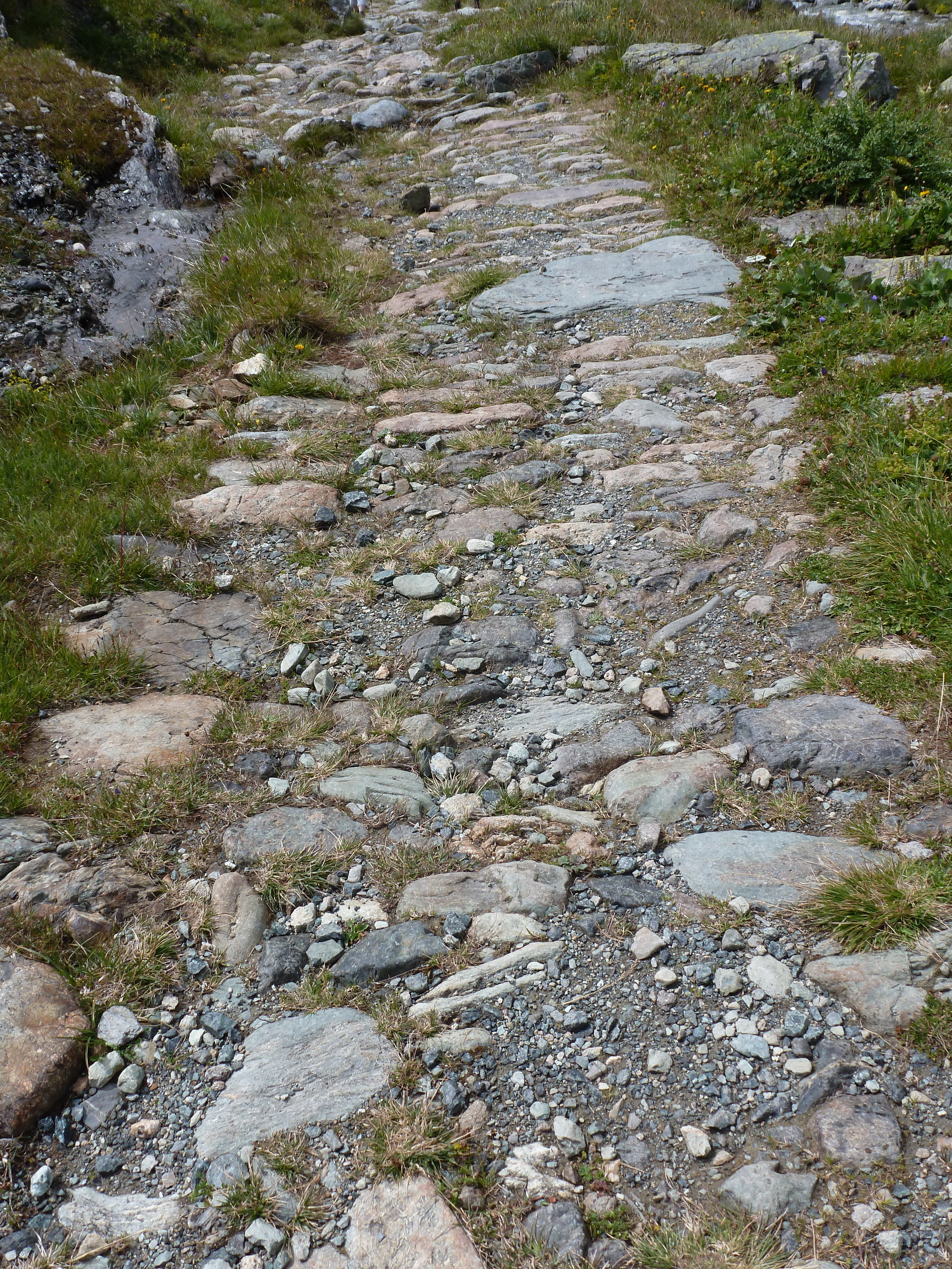
Der Septimerpass bildete seit der Römerzeit eine der wichtigsten Transitachsen. Seine günstige Lage (optimale Nord-Süd-Verbindung) sowie ein günstiges Gelände, das den Wegebauern keine grösseren Hindernisse in den Weg stellte. Ausgrabungen auf 2340 m, direkt oberhalb des Passweges, liessen ein noch gut erkennbares römisches Feldlager aus der Kaiserzeit von Augustus erkennen. Es ist zu vermuten, dass das Lager zur Vorbereitung des Alpenfeldzugs von 15 v. Chr. errichtet wurde und danach in den Sommermonaten besetzt war. Die Soldaten hatten die Aufgabe, den Septimer-Pass als wichtigen Nachschubweg für die nördlich der Alpen operierende römische Armee zu sichern und instand zu halten. 16/17 n. Chr. wurde die Eroberung des rechtsrheinischen Germaniens aufgegeben und der Rhein als Grenze akzeptiert, was dazu führte, dass das Armeelager auf dem Septimer-Pass überflüssig wurde. Der Besitz und die Zolleinnahmen der gesamten Septimer-Route von Chur bis Chiavenna bildete seit 960 die Machtbasis des Churer Bischofs. Über den Pass – im Hochmittelalter neben dem Grossen Sankt Bernhard und Brenner die wichtigste alpenquerende Transitverbindung – zogen Händler und Heere, Könige und Kaiser, Otto der Grosse und Friedrich Barbarossa. Ab 1938 erstellte die Schweizer Armee etwas südlich der Passhöhe die Sperrstelle Septimer. Sie bestand aus vier in Kavernen untergebrachten Maschinengewehrstellungen. Die Sperrstelle sollte das Vordringen von Infanterie-Verbänden aus dem Bergell nach Norden und damit eine Umgehung der Sperrstellen Julier und Maloja verhindern. Die Sperrstelle wurde in den 1990er Jahren aufgegeben. |
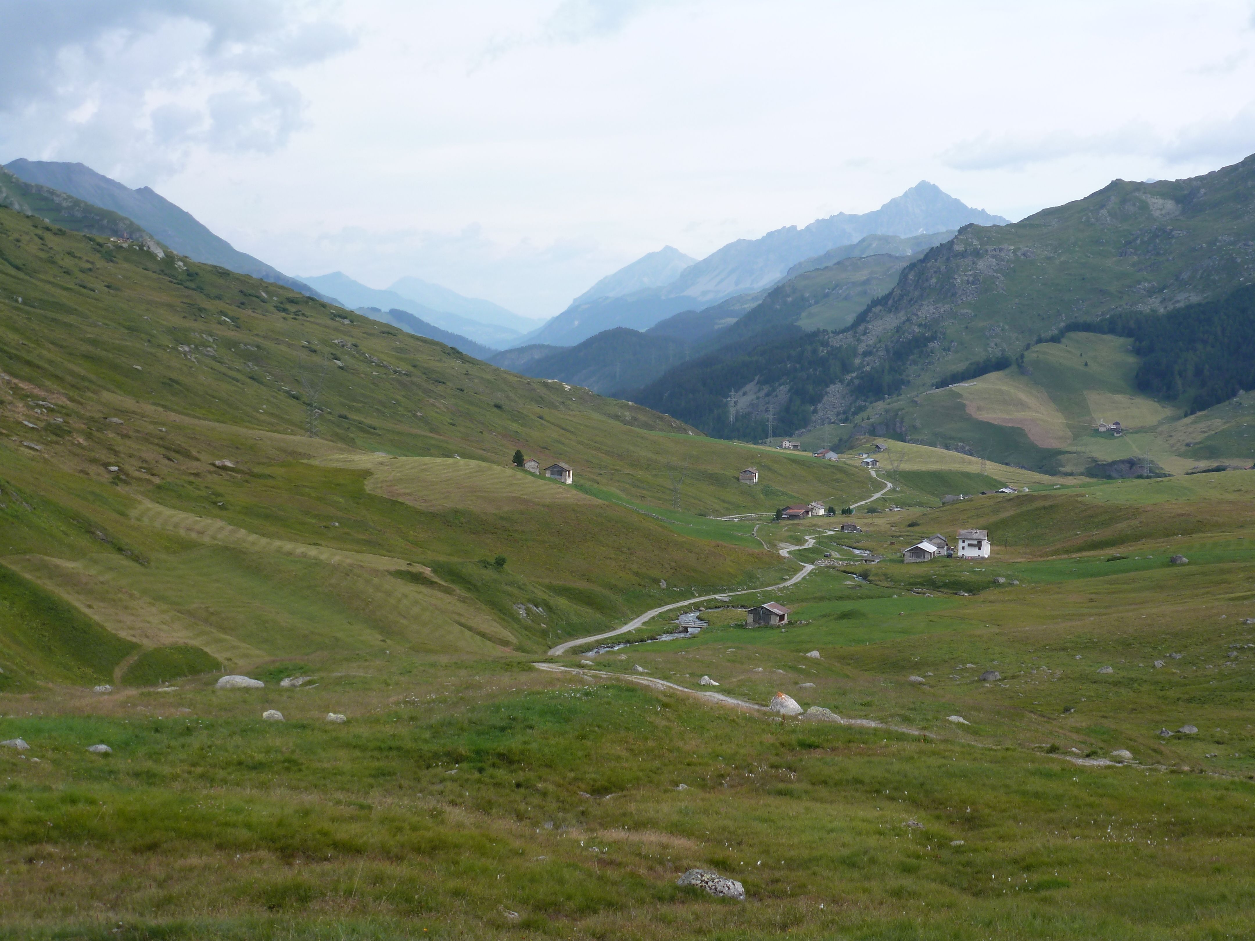
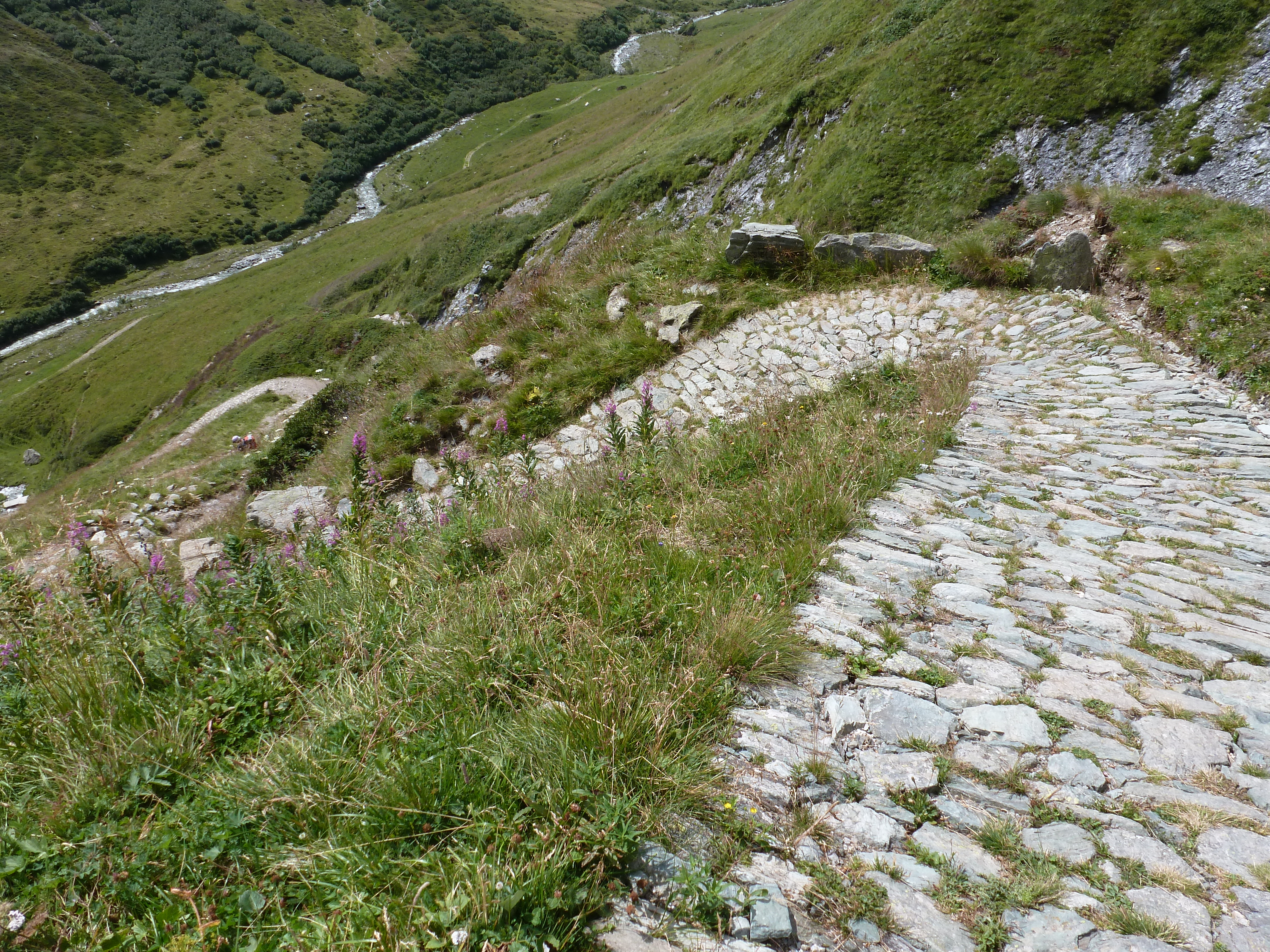
Der Abstieg vom Septimer-Pass führt in mehreren steilen Serpentinen auf Römerstrassen ins Bergell hinunter. Einige Wegstücke führen direkt auf der Römerstrasse ins Tal.
Ab Casaccia gibt es zwei Möglichkeiten des Weiterwanderns: einerseits können wir dem Wanderweg Via Sett weiter folgen, die Wegweiser führen uns zuverlässig nach Vicosoprano und Castasegna.
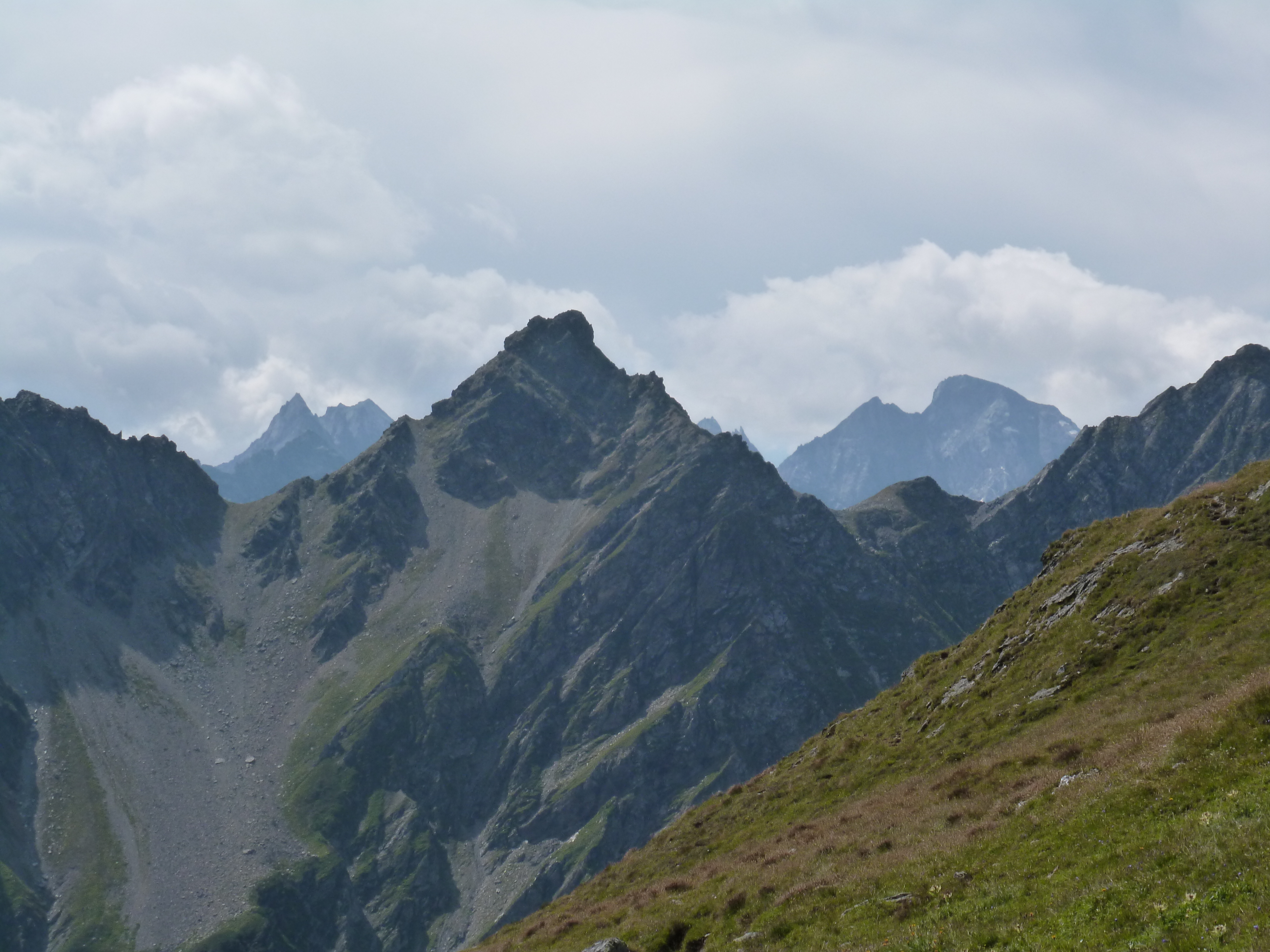
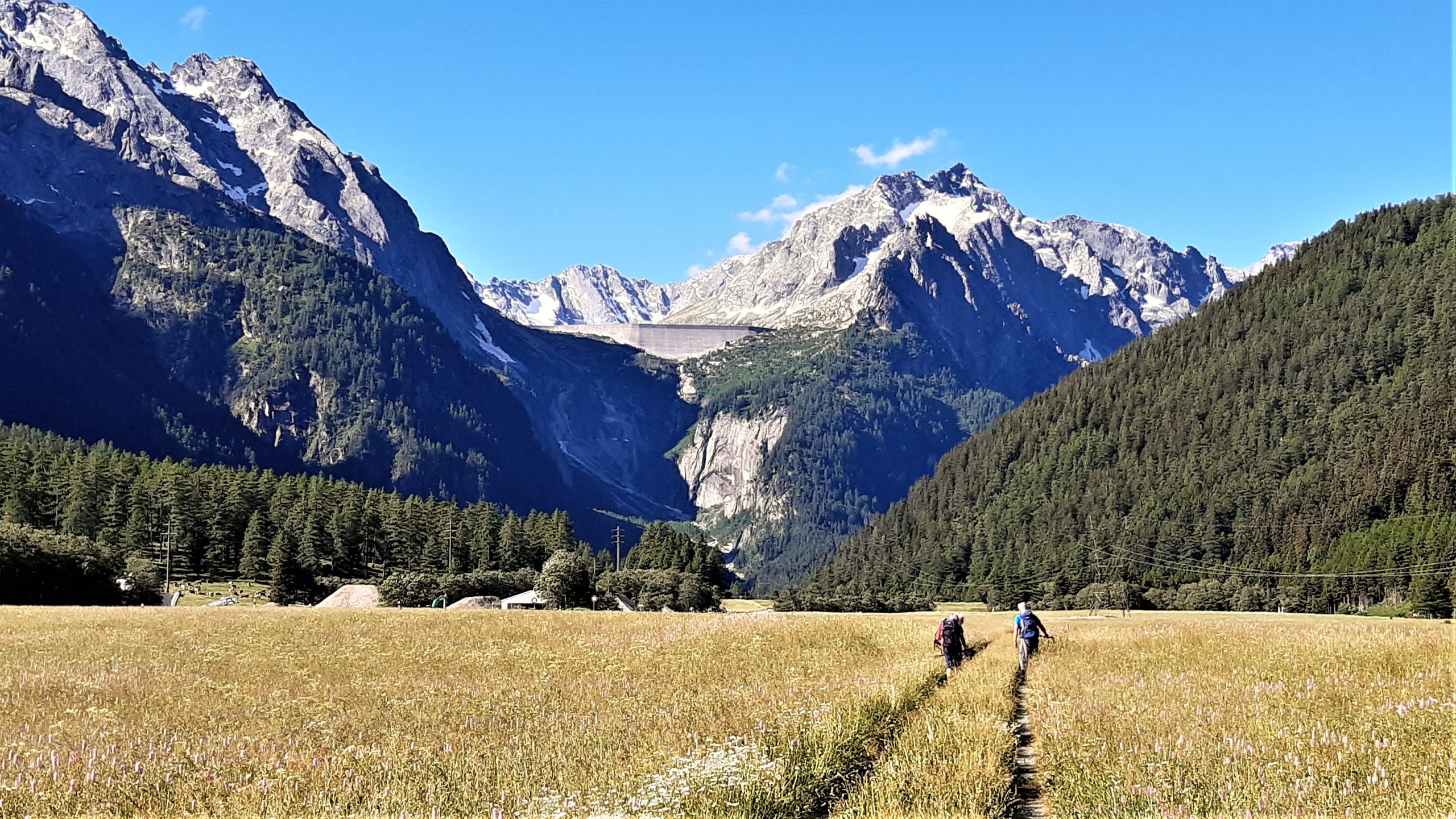
Eine Alternative ist der Panoramaweg, der am nördlichen Berghang entlang nach Solio führt und von dort hinunter nach Castasegna. Dieser Weg ist allerdidngs nur zu empfehlen bei schönem Wetter. Bei nassen Wegverhältnissen gibt es rutschige Stellen.
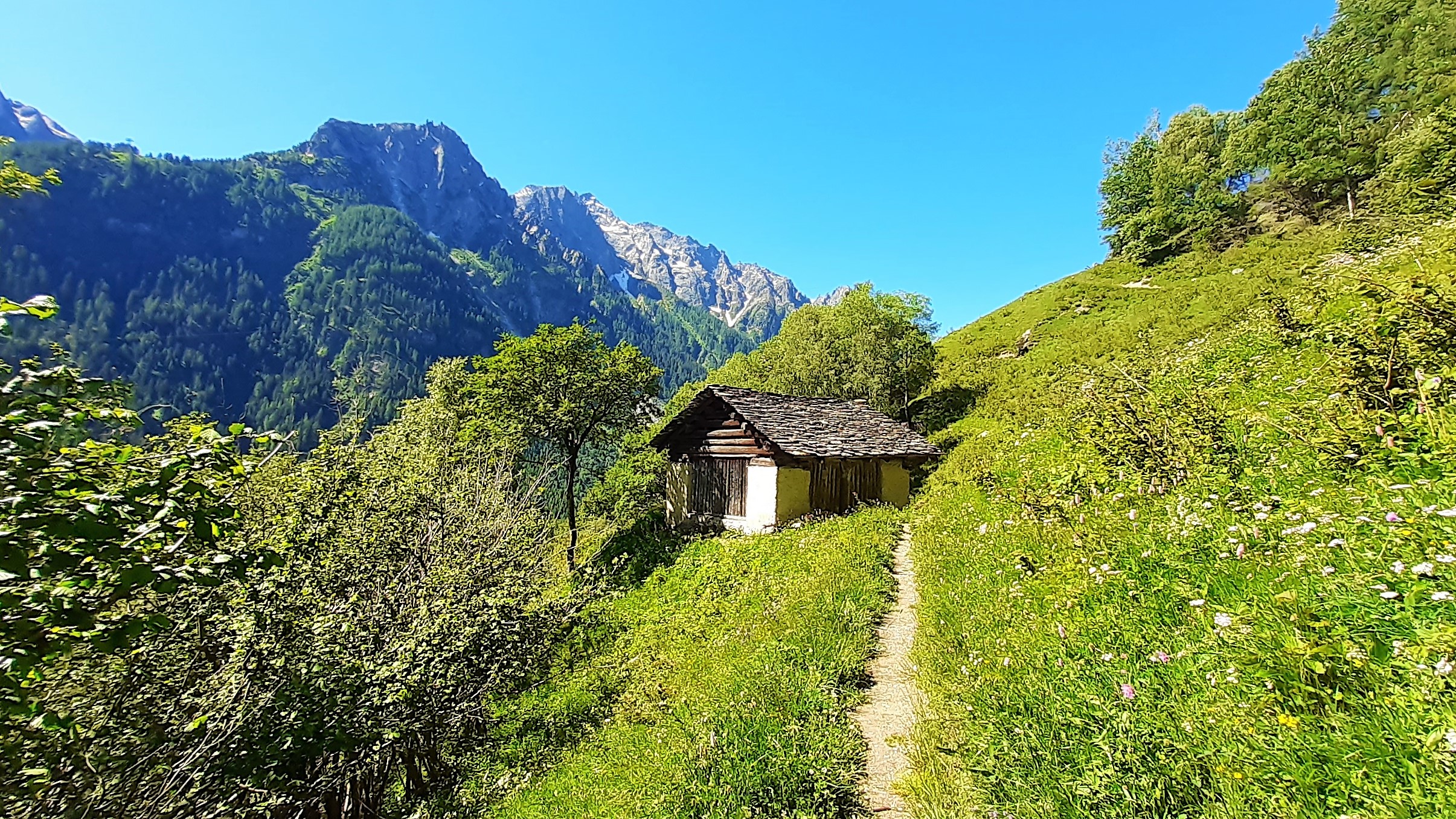
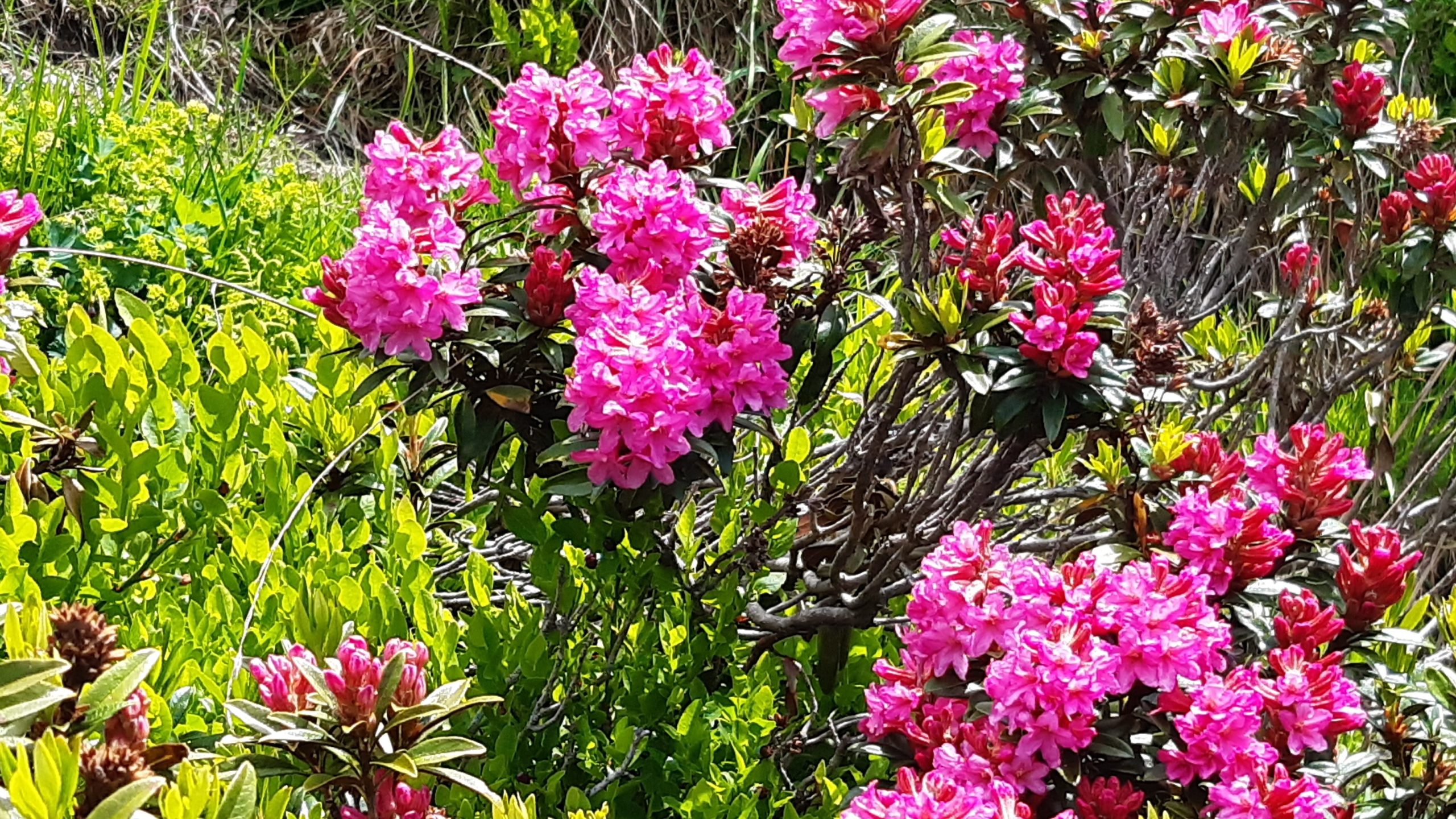
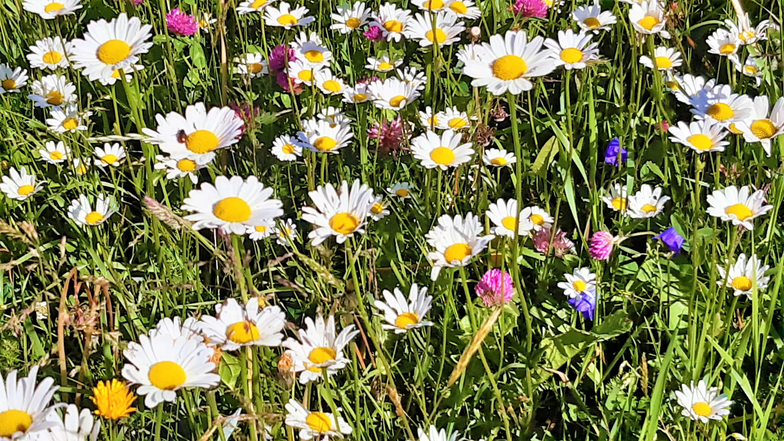
Da wir von Pungel rund 200 Höhenmeter nach Vicosoprano, dem Übernachtungsort, absteigen und am nächsten Tag wieder ähnlich viele Meter aufsteigen müssen, ist dieser Weg etwas anstrengender, aber der Wanderer wird durch eine grossartige Landschaft mit Aussicht auf imposante Bergmassive reich entschädigt. Hier einige Eindrücke:


Auf der Karte ist dieser Weg bis Vicosoprano eingezeichnet.
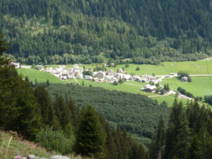
| Km 12.5 | Casaccia auf 1450 müM. wurde 1160 erstmals erwähnt. Durch seine Lage an der Verzweigung des Maloja– und des Septimerpasses war Casaccia bis ins 19. Jh eine wichtige Transitstation. An diese Funktion erinnert die Ruine des mittelalterlichen Turmes Turraccia oberhalb des Dorfes. Das ehemalige Hospiz stand nahe den Ruinen der ehemaligen Wallfahrtskirche San Gaudenzio oberhalb des Dorfes an der Passstrasse. Es wird 1336 urkundlich erwähnt, dürfte aber viel älter sein. |
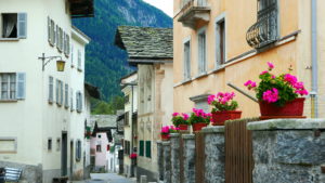
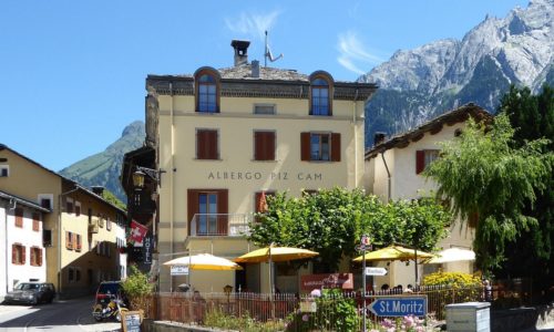
| Km 20 | Vicosoprano.
In der Nähe der Kirche S. Cassian fand man ein römisches Merkuraltärchen aus der zweiten Hälfte des 4. Jh. Bis 960 waren die Bewohner des Orts Como unterstellt, dann dem Bischof von Chur. Vicosoprano war damals Hauptort der Talgemeinde Bergell, Transport-Zentrum, Sitz der Bergeller Port und der wichtigen Familien Castelmur und Prevost. Der Vogt des Bischofs von Chur hielt im Senwelenturm Gericht (dazu auch der Galgen), dem einzigen erhaltenen mittelalterlichen Rundturm Graubündens, der aus dem 13. Jh stammt, 1314 erstmals erwähnt wurde und zugleich als bischöfliche Strassenzollstätte diente. |