Kurz nach dem südlichen Dorfausgang von Balzers überschreiten wir die Grenze zwischen Liechtenstein und der Schweiz. Leicht aufsteigend erreichen wir die St. Luzisteig, ein Pass auf 713 m Höhe, der Balzers im Fürstentum Liechtenstein mit dem Weinbaustädtchen Maienfeld im Kanton Graubünden verbindet.
Sehens- & Wissenswertes
| Km 6 | St. Luzisteig. Die Nord-Süd-Achse, die bis zum 19. Jh über diesen Pass führte, spielte in den verschiedenen Kriegen in der europäischen Geschichte eine bedeutende Rolle, denn dieser Übergang führte zu den Bündner Pässen und war über Jahrhunderte das Tor zu Rätien. Der Pass über die St. Luzisteig bildete auch ein Teilstück der Römerstrasse Brigantium – Curia Raetorum (Bregenz-Chur).
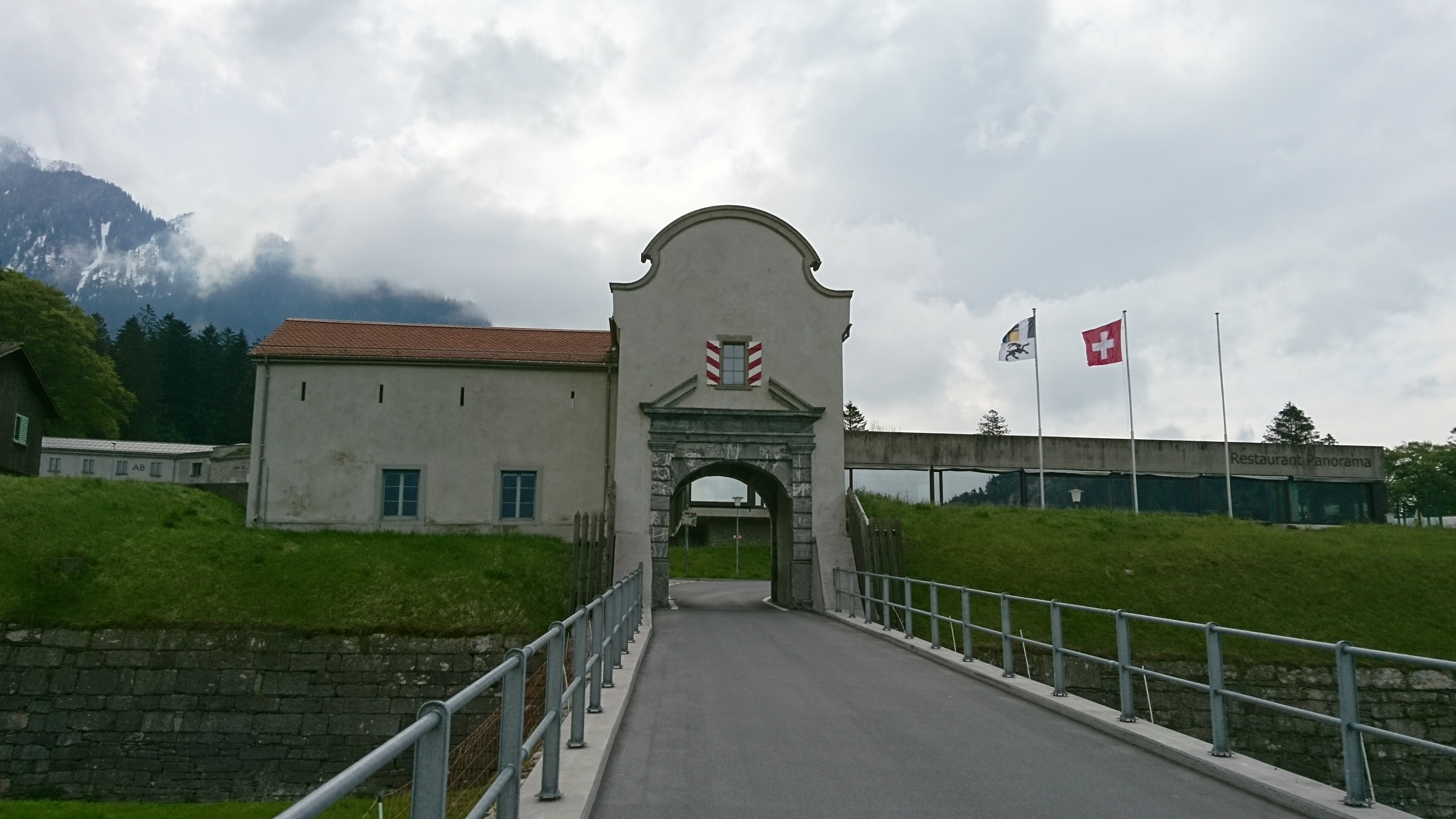
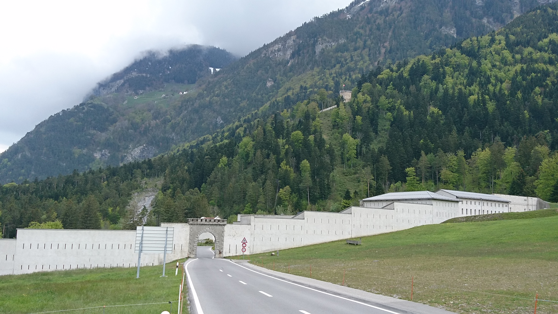
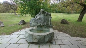
Auf der nördlichen Seite der Passhöhe liegt die historische Festung St. Luzisteig mit einem Tor von 1702. Etwas weiter befindet sich die Steigkirche, die erstmals 831 erwähnt wird. Der heutige gotische Bau mit spätgotischem Chor war bis zu Beginn des 15. Jh die Mutterkirche von Maienfeld und Fläsch, ausgestattet mit Wandmalereien aus dem 14. und 15. Jh.
|
| Km 8.5 | Maienfeld. Erstmals erwähnt wird Maienfeld im 4. Jh. Ab dem 14. Jh wanderten Walser ins Gebiet der Stadt ein und gründeten mehrere Siedlungen, die als Walsergemeinden Teil der Stadt wurden, deren Bewohner jedoch erst Jahrhunderte später ins Stadtbürgerrecht aufgenommen wurden.
Die Altstadt mit Resten der Stadtmauer, das Schloss Brandis sowie das Schloss Salenegg sind im Inventar der schützenswerten Ortsbilder der Schweiz als von nationaler Bedeutung aufgeführt. Der Weinbau spielt seit alters her eine wichtige Rolle und ist der grösste Wirtschaftszweig. Das Weingut Schloss Salenegg gilt als ältestes noch bestehendes Weingut Europas. 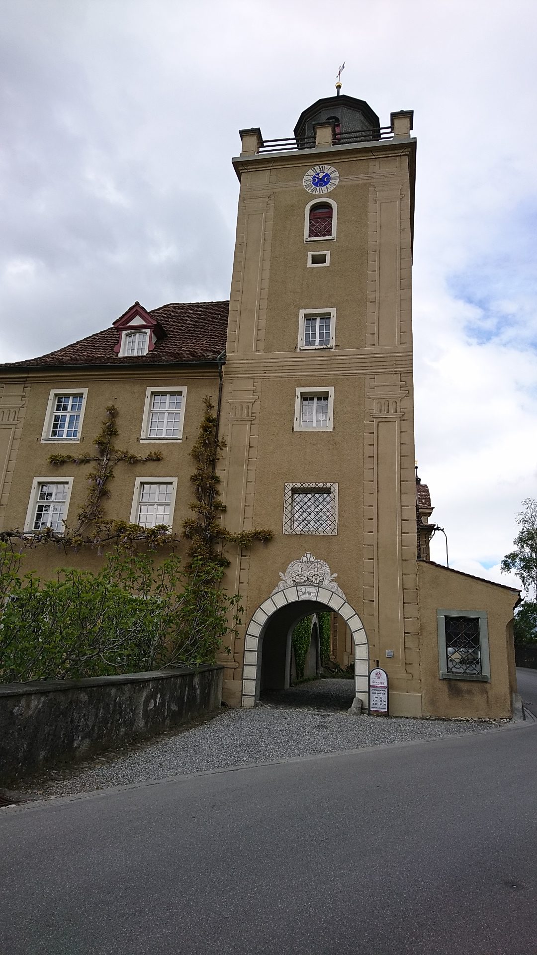
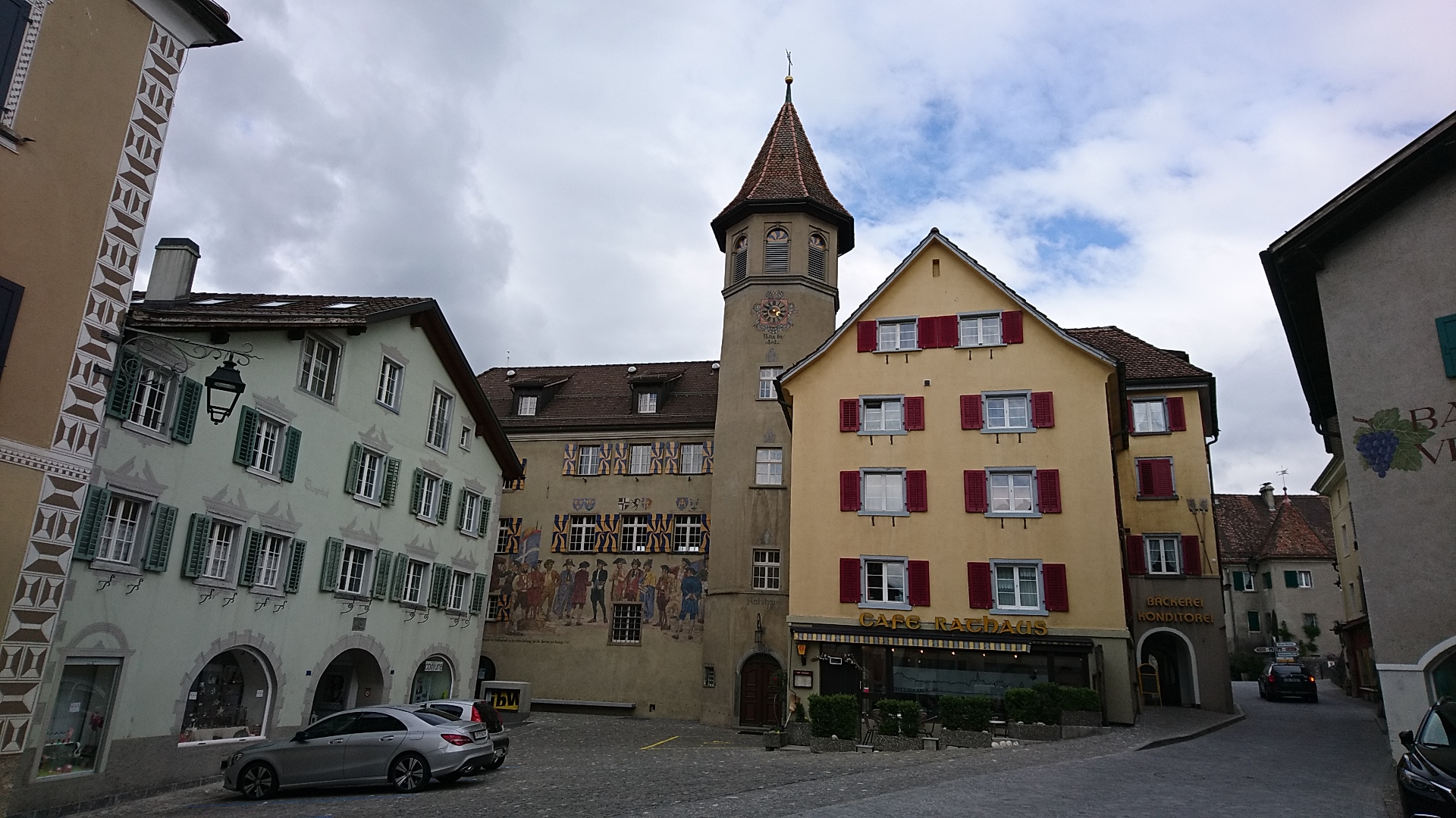
Seit der Roman Heidi von Johanna Spyri erschienen ist, gilt die Gemeinde als Heimatort dieser Romanfigur. Es finden denn auch periodisch Theaterstücke über Heidi statt.
|
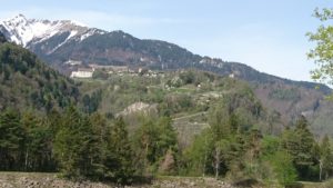
Wir wandern nun durch das bekannte Rebgebiet der Bündner Herrschaft und geniessen wunderschöne Ausblicke auf das linksrheinische, hoch über dem Tal gelegene Pfäfers mit der imposanten und weithin sichtbaren barocken Klosterkirche (erbaut Ende 17. Jh).
Von Pfäfers führt ein Weg weiter Richtung Vättis mit dem Drachenloch (Funde von Werkzeugen und Bärenknochen vor 50’000 Jahren) und nach St. Martin (Walsersiedlung). Ab Vättis führt ein weiterer Weg über den Kunkelspass nach Tamins zum Rheinzusammenfluss von Vorder- und Hinterrhein. Dieser Übergang bestand schon zur Römerzeit als Saumweg.
Von Pfäfers führt ein Weg auch hinab in die Taminaschlucht zu einer Thermalquelle, wo 1630 ein erstes Badehaus erstellt wurde. Die Thermalquelle bedient heute den weltbekannten Kurort Bad Ragaz, auch bekannt durch seine alle drei Jahre stattfindende Triennale Bad RagArtz Skulpturenausstellung im Freien.
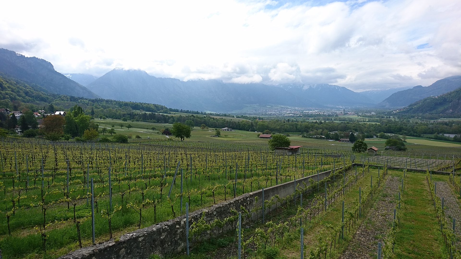
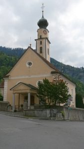
| Km 10.5 | Jenins. Das Dorf liegt am Fusse des Berges Vilan und gehört zur Bündner Herrschaft, dieser vom warmen Föhnwind begünstigten Weinregion.
Die evang. reformierte Kirche unter dem Patrozinium des Mauritius wird 1209 indirekt in einer Urkunde erwähnt.
|
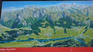
| Km 14 | Malans. Ebenfalls ein Weindorf der Bündner Herrschaft. Von Malans führt eine Seilbahn hinauf auf die Alp (1800 müM), von wo Wanderungen zum Falknis und Vilan unternommen werden können. Von der Terrasse des Berg-Restaurants geniesst man eine wundervolle Aussicht auf das Rheintal und die umliegenden Berge.
Im Ruchenberg befindet sich eine bronzezeitliche Siedlung. Malans bildete den Ausgangspunkt der Strasse durch die Klus ins Prättigau. Die Kirche St. Cassian stammt ursprünglich aus dem 6. Jh, wurde im 12. Jh erstmals erwähnt und kam in den Besitz des Bischofs von Chur. |
Zwischen Malans und Zizers überqueren wir den Fluss Landquart. Dieser mündet beim gleichnamigen Dorf in den Rhein. Anschliessend passieren wir das Schloss Marschlins, ursprünglich ein Wasserschloss. Die aussergewöhnliche Anlage ist eine bischöfliche Gründung und stammt vermutlich aus der Mitte des 13. Jh. Ein Vorgängerbau ist nicht auszuschliessen.
Ab dem Dorf Igis bestehen zwei Alternativwege:
- auf der Höhe bleiben und den Wegweisern nach Zizers, Trimmis und Chur folgen. Dadurch geniesst man eine sehr schöne Sicht auf das ganze Tal, der Weg geht leicht auf und ab. Dieser Weg ist auf der Karte dieser Etappe eingegeben.
- hinuntersteigen ans Rheinufer und diesem folgen bis Chur (siehe Etappe 16b Sargans-Chur)
| Km 20.5 | Zizers. Das an der Hauptverkehrsroute vom Bodenseeraum nach Chur und weiter zu den Bündner Alpenpässen, gelegene Dorf wird urkundlich 824 erwähnt. Allerdings lassen Funde aus der Bronze- und Römerzeit einen deutlich älteren Siedlungsursprung vermuten.
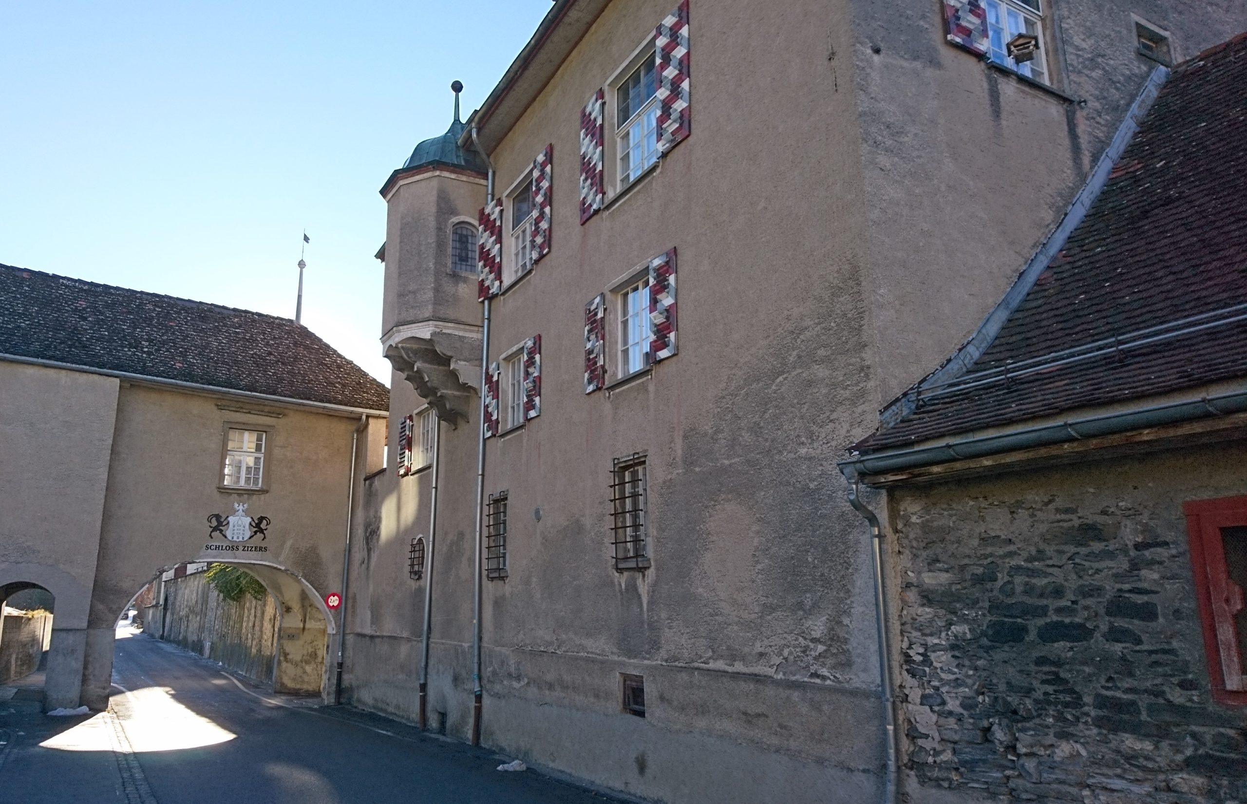
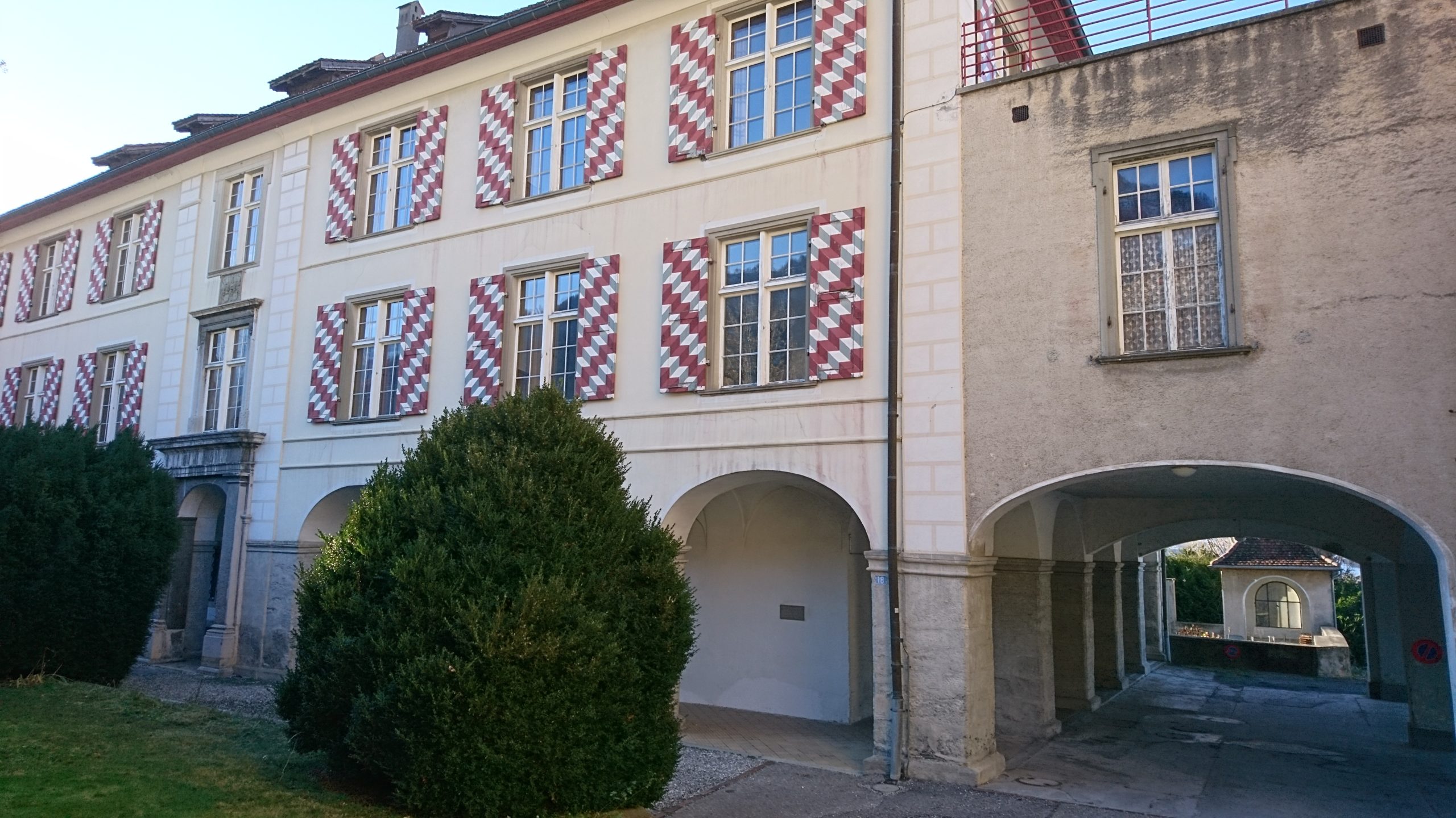

Im St. Johannes Stift verbrachte Zita, die letzte Kaiserin von Österreich und Königin von Ungarn, von 1962 bis zu ihrem Tod 1989, die letzten Jahre ihres siebzigjährigen Exils. |
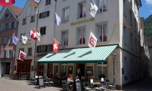
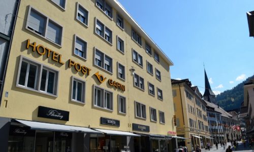
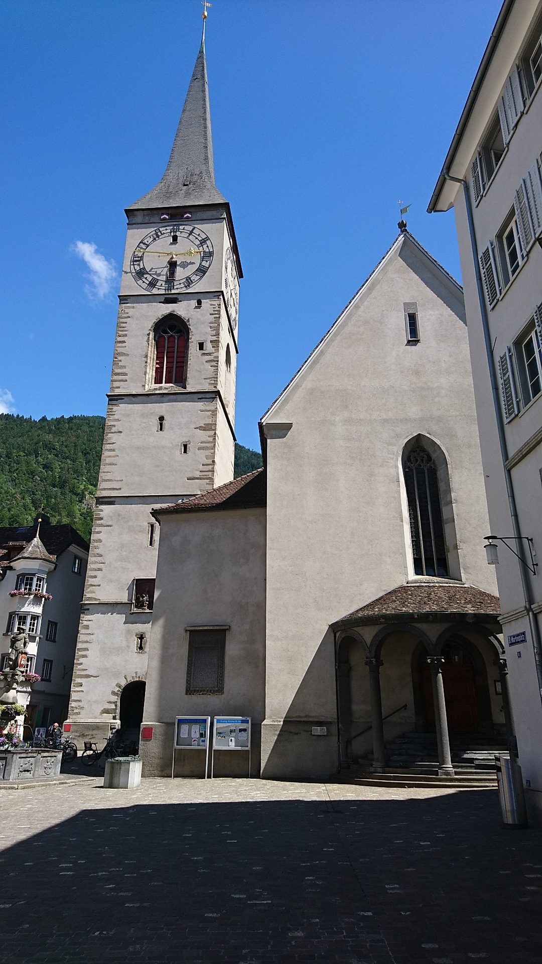
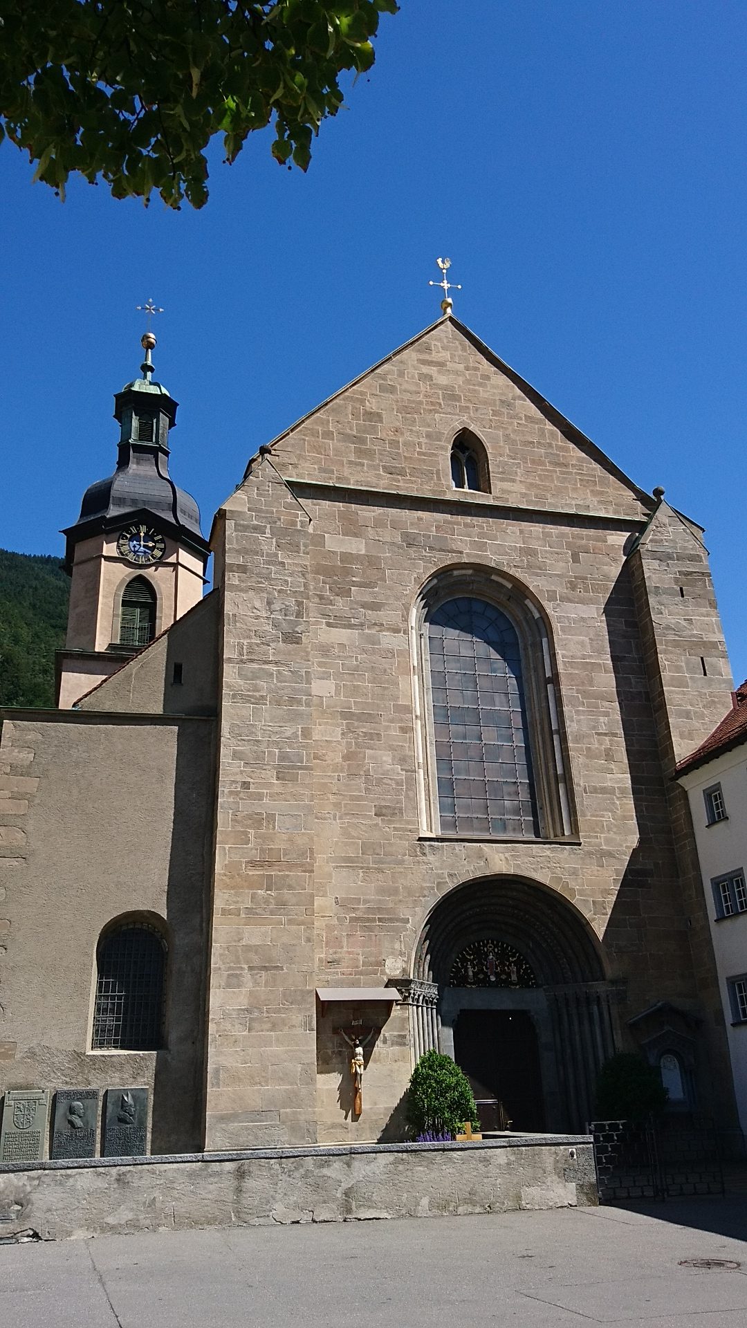
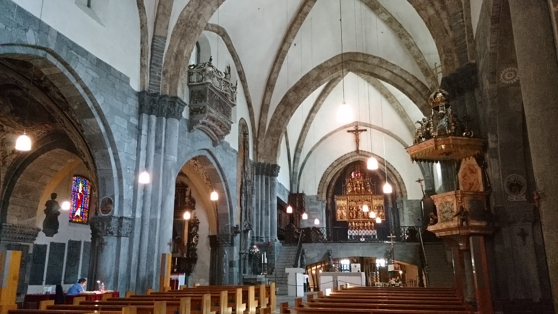
| Km 32 | Chur. Die Römer eroberten 15 v. Chr. die Region und nannten die Provinz Raetia. Wohl bereits im 4. Jh n. Chr. wurde Chur als erstes Bistum nördlich der Alpen gegründet. 451 wird mit Asinio ein Bischof urkundlich erwähnt. Im 6. Jh gelangte Chur unter fränkische Herrschaft. Bei einem frühmittelalterlichen Friedhof stand die im 5. Jh. errichtete Grabkirche St. Stephan. Vermutlich im 8. Jh. folgte unmittelbar daneben ein erster Bau von St. Luzi. 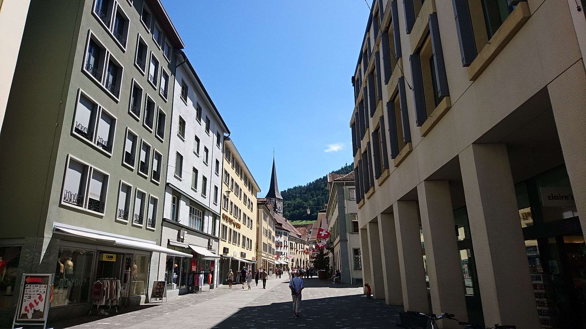
|
Die Etappe ist etwas lang. Wer diese abkürzen möchte, kann in Zizers oder Untervaz mit der Rhätischen Bahn (Eisenbahn) oder mit dem Postauto die restliche Distanz nach Chur für die Übernachtung zurücklegen. Postauto oder Bahn bringen den Wanderer auf Wunsch am folgenden Morgen wieder auf den Endpunkt der vortägigen Etappe zurück.
Eine andere Möglichkeit besteht darin, in Malans zu übernachten – es gibt dort B&Bs – und damit die Etappe zweiteilen.