Today’s leg begins with a beautiful walk over the Lenzerheide, followed by our descent to Tiefencastel and on to Savognin.
Sights and Facts
| Km 5 | Lenz (known as Lantsch in the Romansch language of the Grisons) was already a settlement during the Early Iron Age. Settlement remains from the 1st Century BC most likely stem from a Celtic Guardhouse. The Romans used the Lenzerheid crossing for their troops and merchants as a transit route to both the Julier– and Septimer Passes. In Carolingian times there was a Royal Court, a church and two inns in Lenz.
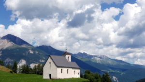
In 831 the St. Maria Church was documented for the first time. 

From Lenz/Lantsch to the Septimer Pass, and somewhat further, Romansch is principally the language spoken, but most residents understand and speak German. |
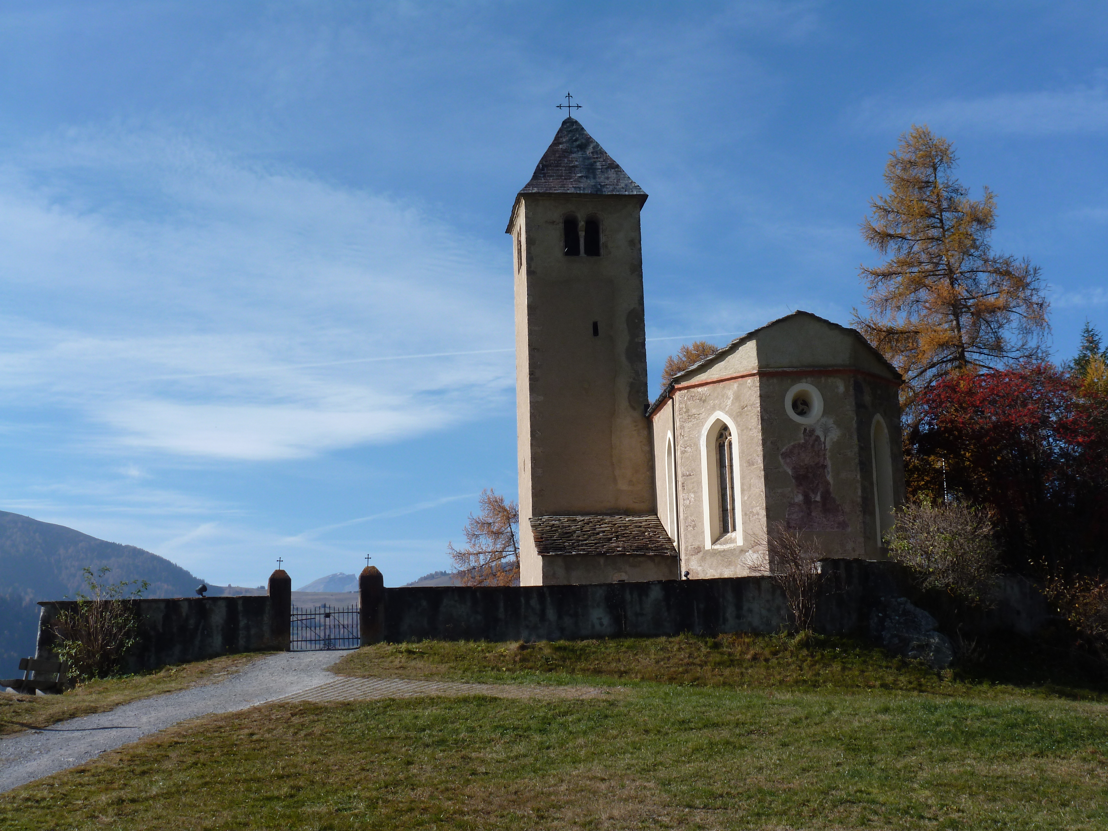
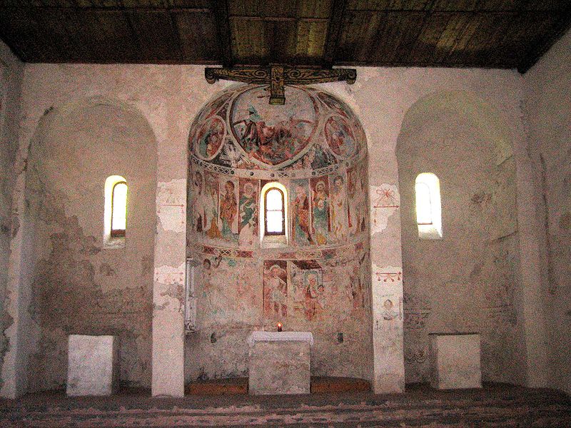
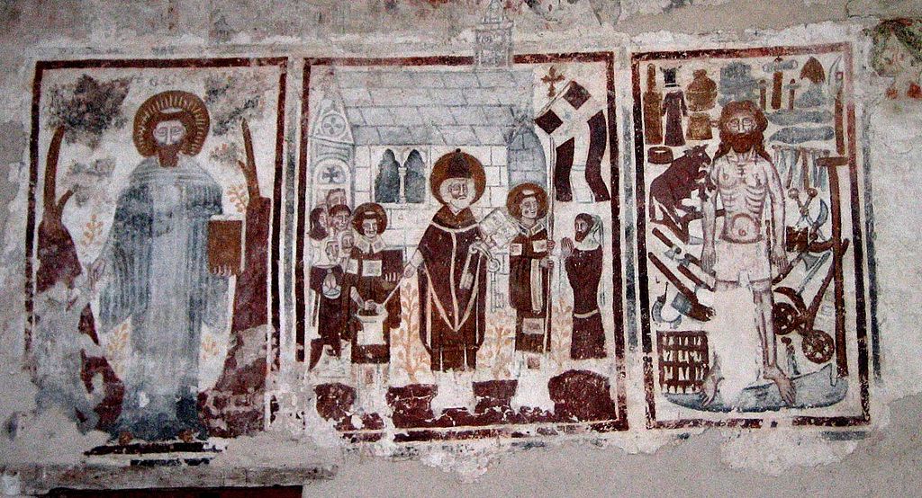
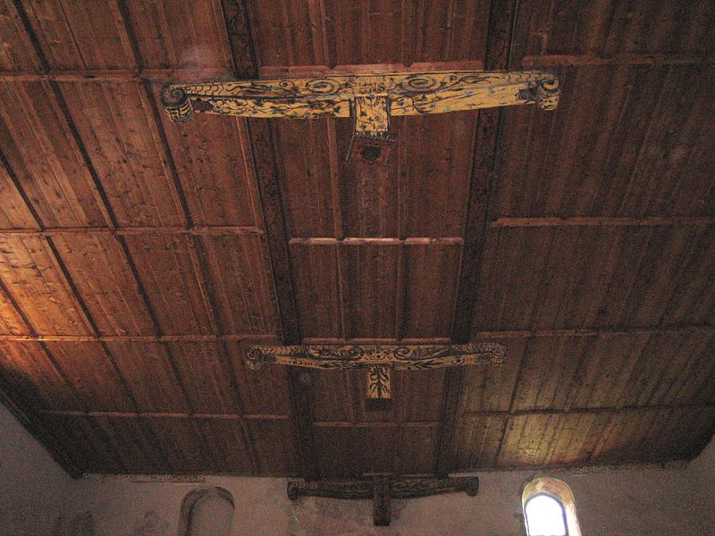
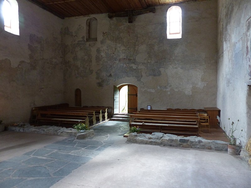
| Km 7 | In St. Peter Mistail one comes across the only unspoilt Carolingian tri-apsidal church in Switzerland. It is presumed to have been constructed in 800 AD on the basis of a mention in a letter from the year 823. The Abbey was first of all documented in a contract of donation by Heinrich I in 926. Supposedly, the foundation of Mistail followed the building of the Cazis Monastery in the Domleschg.


A visit here is highly recommendable |
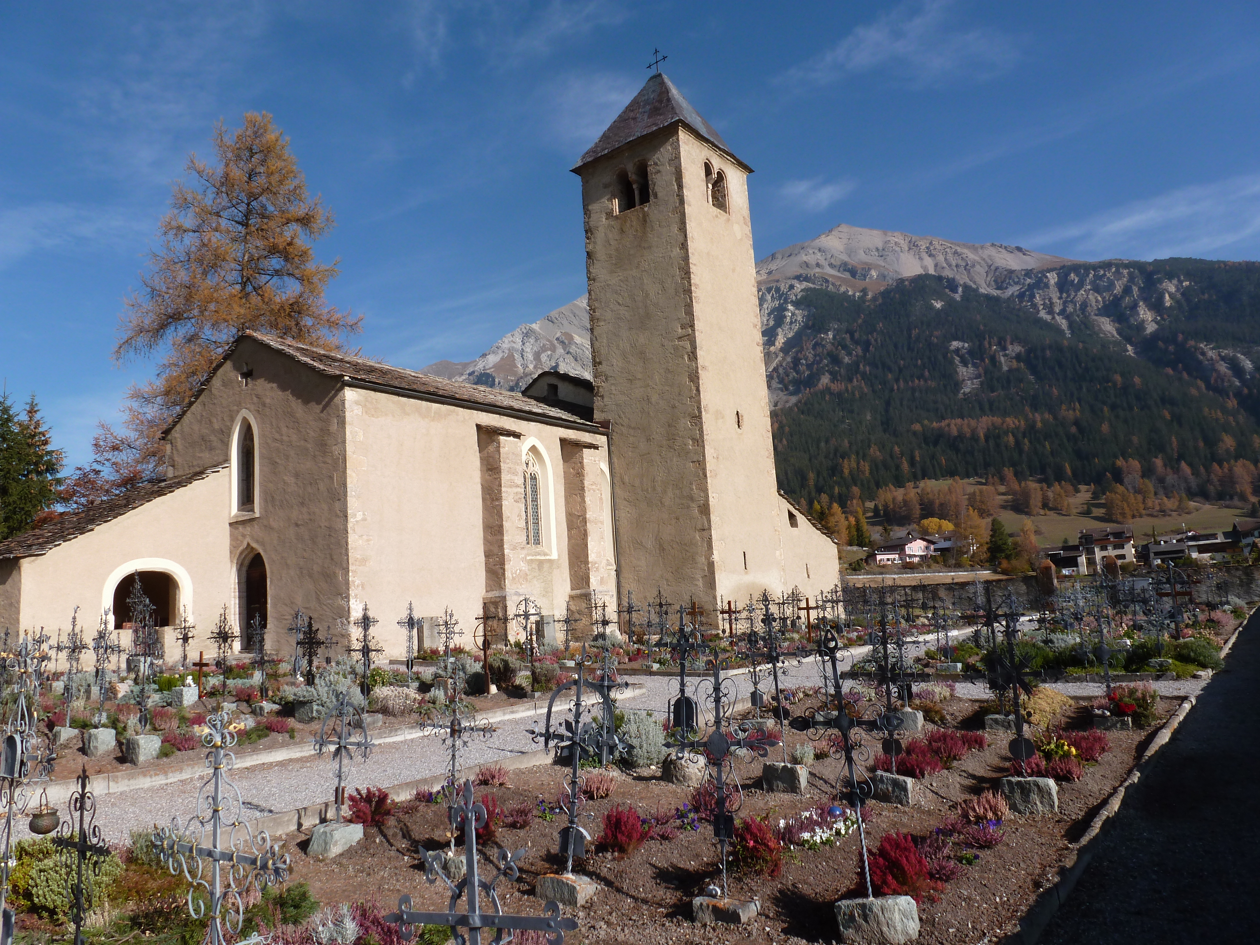
| Km 12 | Tiefencastel. In 831 Tiefencastel was initially mentioned as the seat of the royal administrator. A Bronze Age settlement was located on the Plattas Hill and a Roman fort on the hill where the Church is situated. Archaeological finds confirm a pre-Christian settlement. In the early Middle Ages, Tiefencastel was a fortified settlement and in the Middle Ages the place even had a customs bridge. From 960 on, Tiefencastel was an episcopal domain.
 The Church of St Ambrosius, built in the 6/7th Centuries, originally stood just above the village on the current site of the wayside shrine on the Julierstrasse. From a transport perspective, Tiefencastel was always of great importance as the place lies on the transit axis over the Septimer- and Julier Passes. For hundreds of years the Septimer Pass route to Chiavenna was the most important transit route for crossing the Alps. From Tiefencastel, the Flüela Pass route also leads into Engadin. |
| Km 18.5 | Salouf. This earliest Bronze Age settlement emerged in 2100 BC on a widely visible hill crest located to the north of the village today. Roman remains from the 1st Century have also been discovered here. In the Middle Ages a Räto Romanisch settlement existed in the nearby hamlet of Del. As the first Germanic-speaking Walsers traversed the valley towards the end of the 13th Century, they settled mainly in the upper half of the valley, and the side valleys, as was typical for them.
From Salouf we leave Via Sett (64) and walk along the road to Cunters and Savognin. This saves us a longer ascent and descent. From Savognin it continues on Via Sett. |
| Km 25 | Savognin. An important Bronze Age settlement was established on the hill to the south of Savognin. Findings support a village here from a number of epochs from between 1800 and 1000 BC.
Savognin advanced to a tourist resort only from the early 60s on, whereby the building of hotels, holiday apartments and cable cars has permanently changed the original view of the place.
|