Etappe 13: Bregenz – Hohenems

Details

  • Bregenz

  • Hohenems

  • 24 km

  • 06.00 h

  • 120 m

  • 95 m

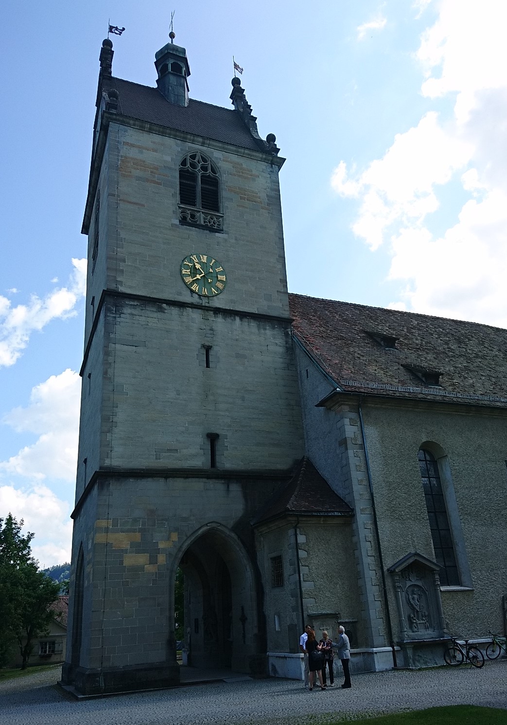
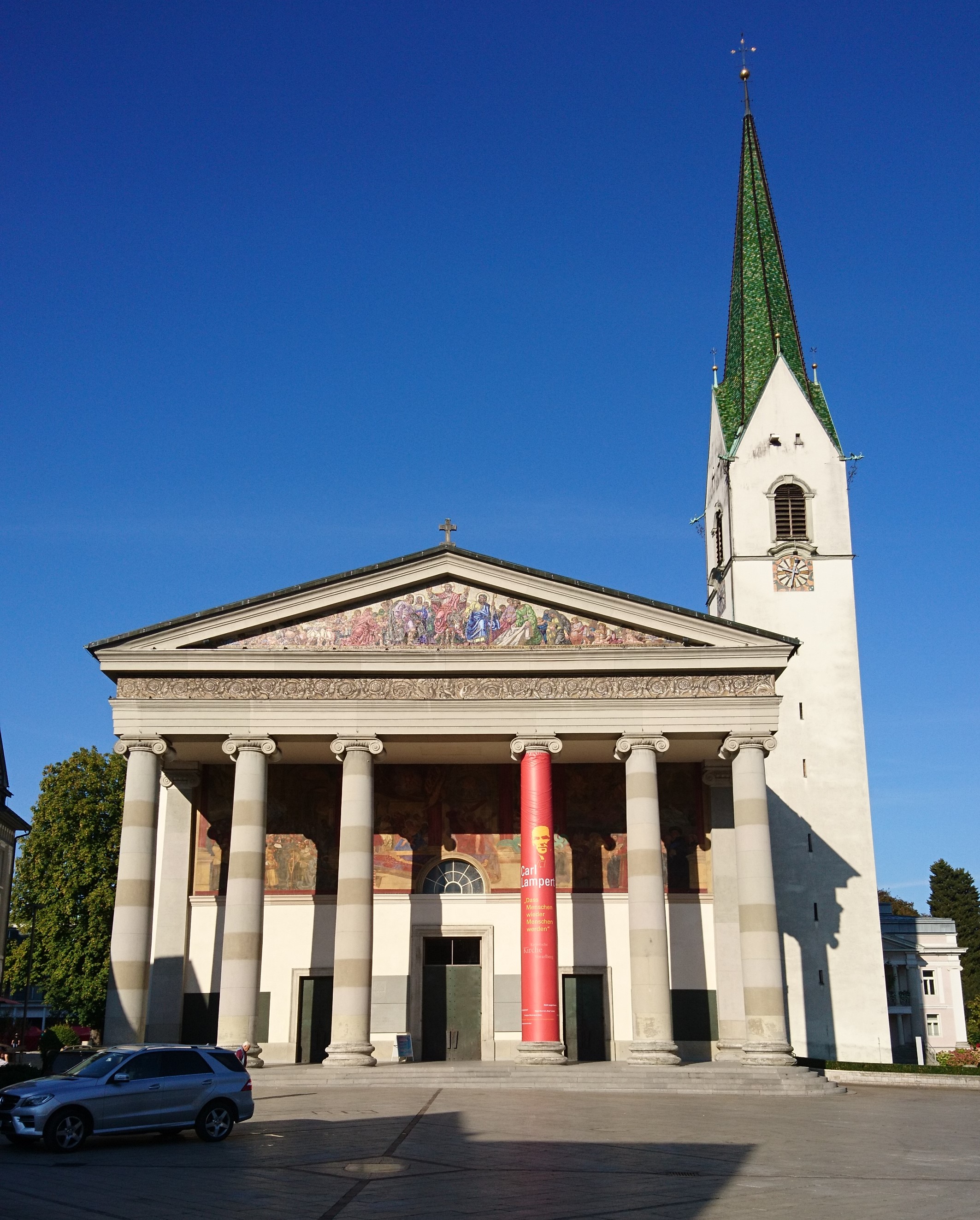
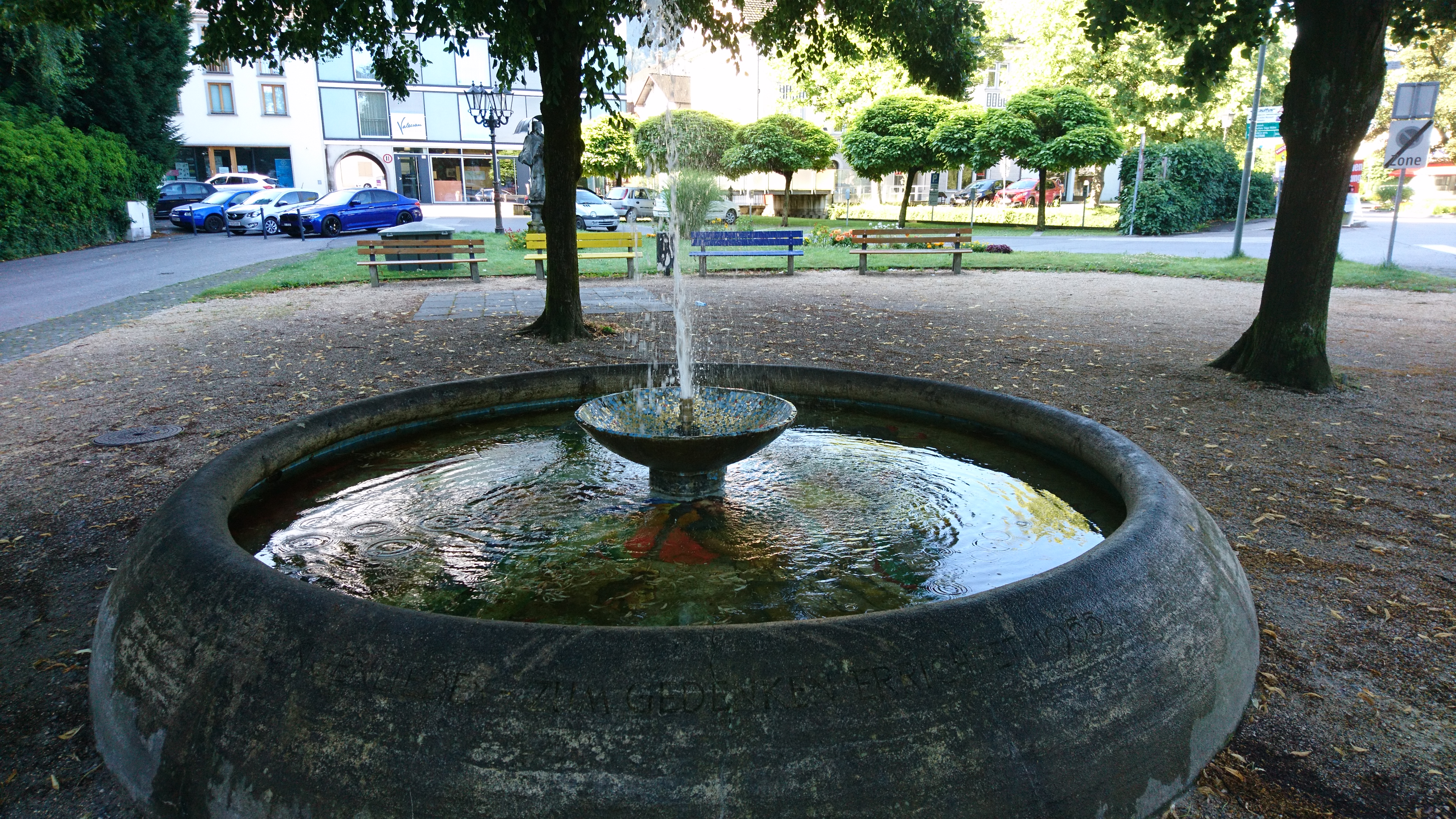
We start today’s trail at St Gall’s Church.

Worth seeing and knowing

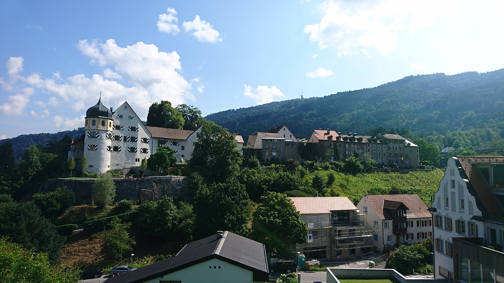
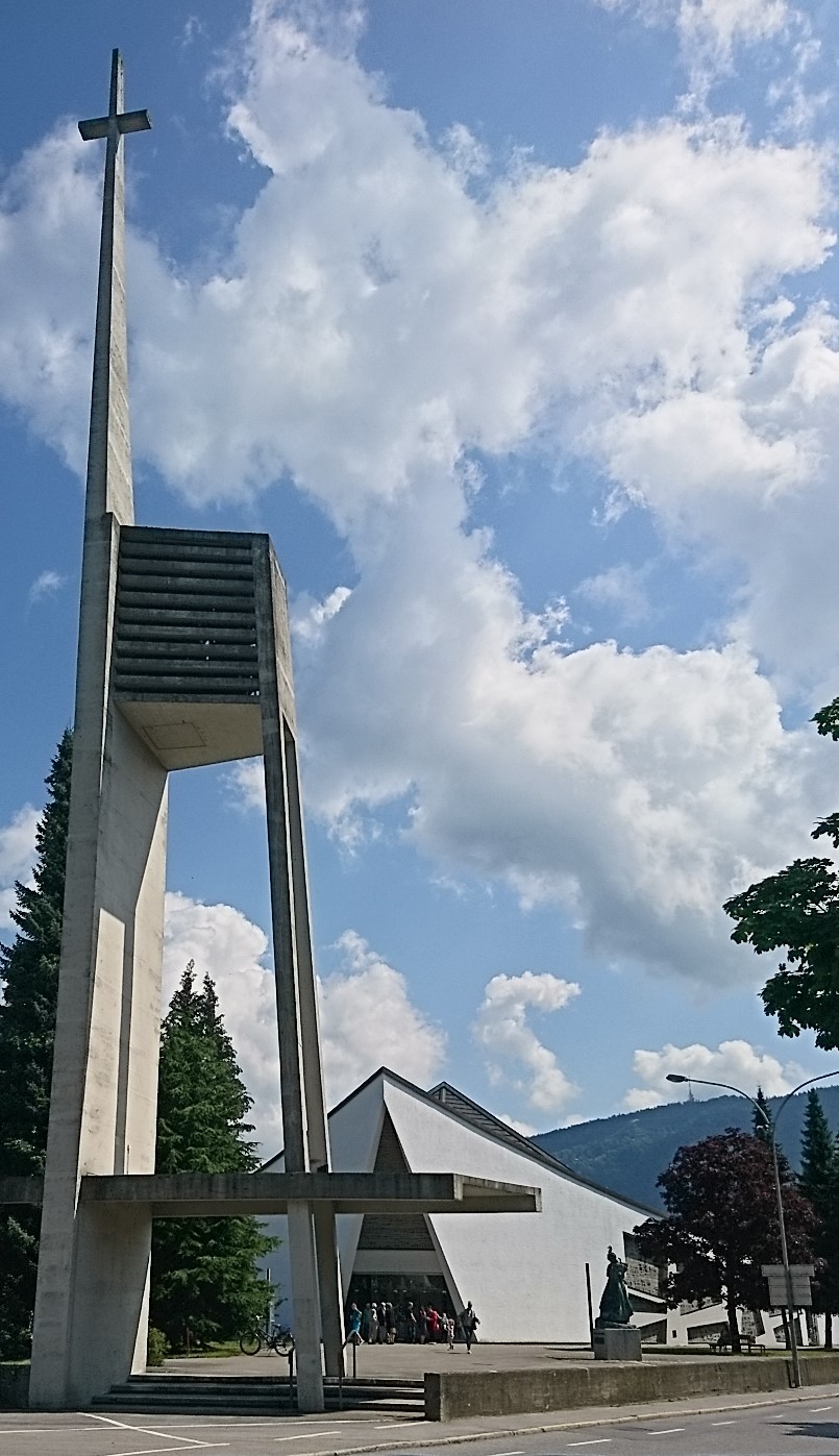
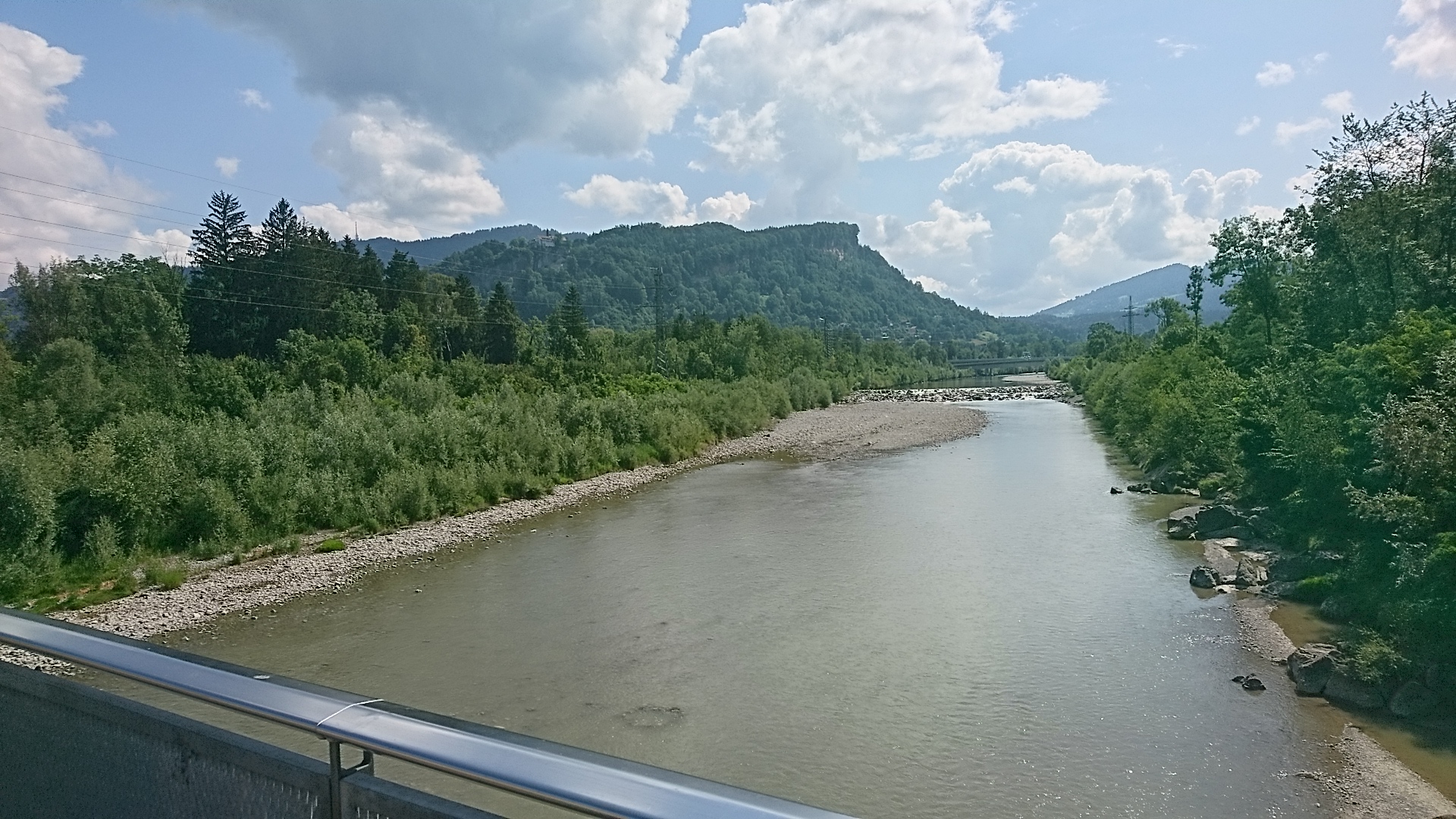
Just under a kilometer away, at the foot of Gebhardsberg (on the top of which there is a popular pilgrimage chapel), we arrive at Columbanus’ Church, built between 1962 and 1966. After a further 300 meters, we come to the banks of the Bregenzer Ach River which we cross and follow westwards for about a kilometer. When reaching the railway bridge we walk southwards alongside the railway lines for about a kilometer.

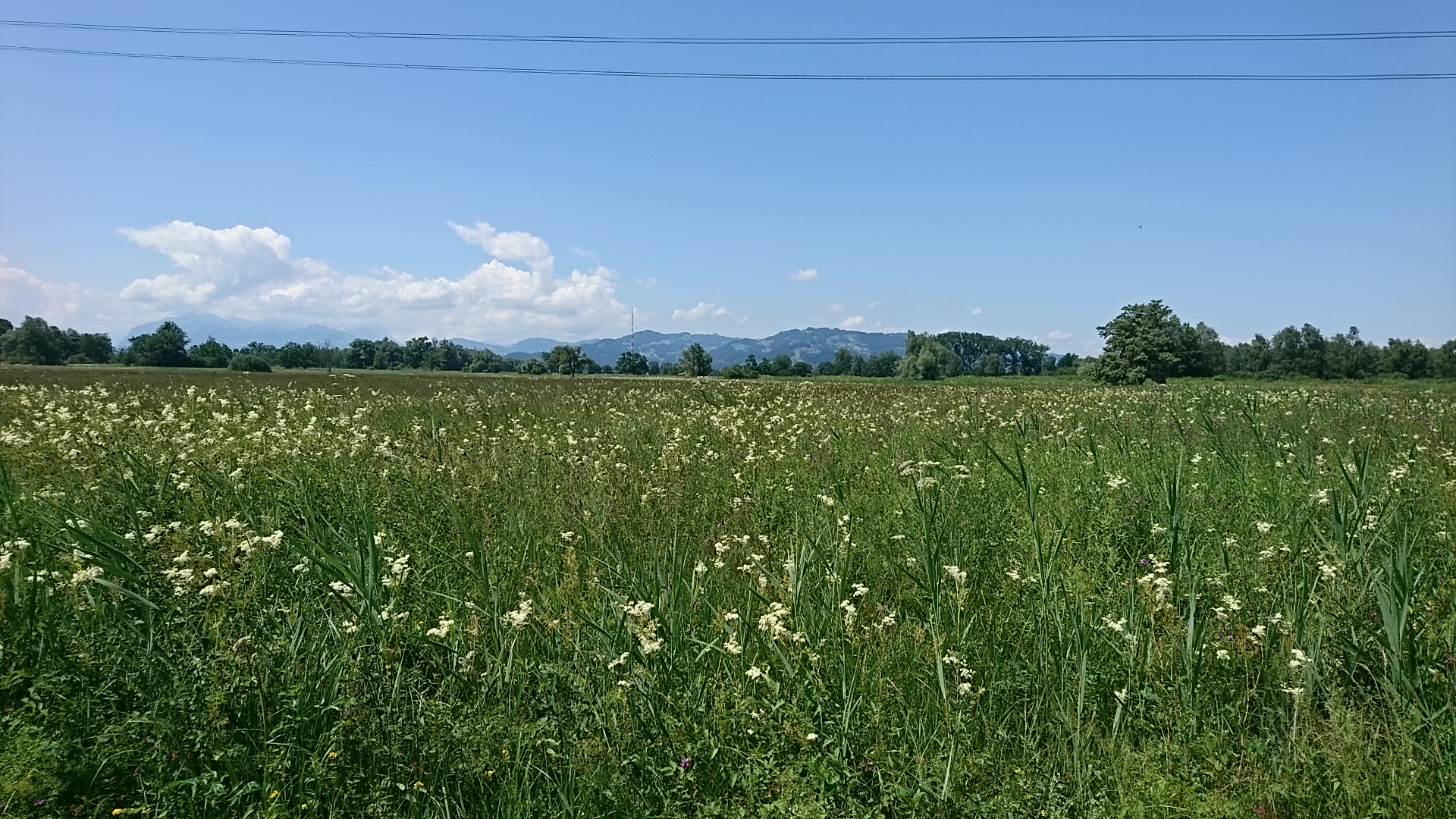
When we finally leave Bregenz behind us, we hike along the outskirts of the municipal district of Lauterach. The hiking trail, marked in yellow and white, leads us about half a kilometer along the railway line to a right curve.  We follow the railway line a further 500m until we come to an underpass. We cross under the railway tracks and now follow the sign to Jannersee. This small lake lies in the middle of the Lauteracher Riet and offers a simple resting place.

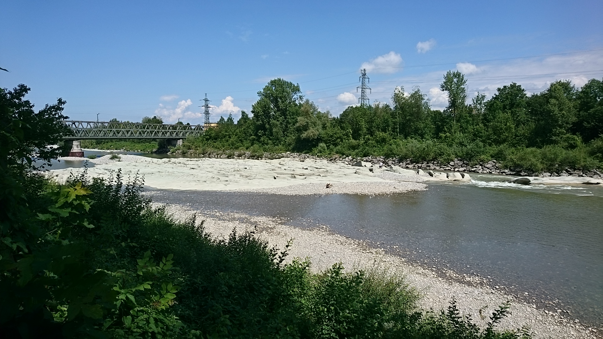
We stay on this path and after another 2.5km reach the banks of the Dornbirner Ach. We turn to the left and a little over a kilometer further we come to a wooden bridge, which we cross (attention, traffic!) and then immediately turn left again. Following the now meandering Ache, we hike towards Dornbirn, cross under the motorway, and continue on the banks of the Dornbirn Ach.
If you want to visit the city, leave the Ach after approx. 3.5km and turn to the city center. If you go straight on, you follow the Ache.

Km 15 Dornbirn: The earliest signs of human presence in the Dornbirn of today date back to the Mesolithic period (8000-3000 BC). Coins from the 2nd Century and a brooch from the 1st Century indicate Roman presence in this area. The first evidence of a settlement here is an Alemanni Grave from the 6th and 7th Centuries.

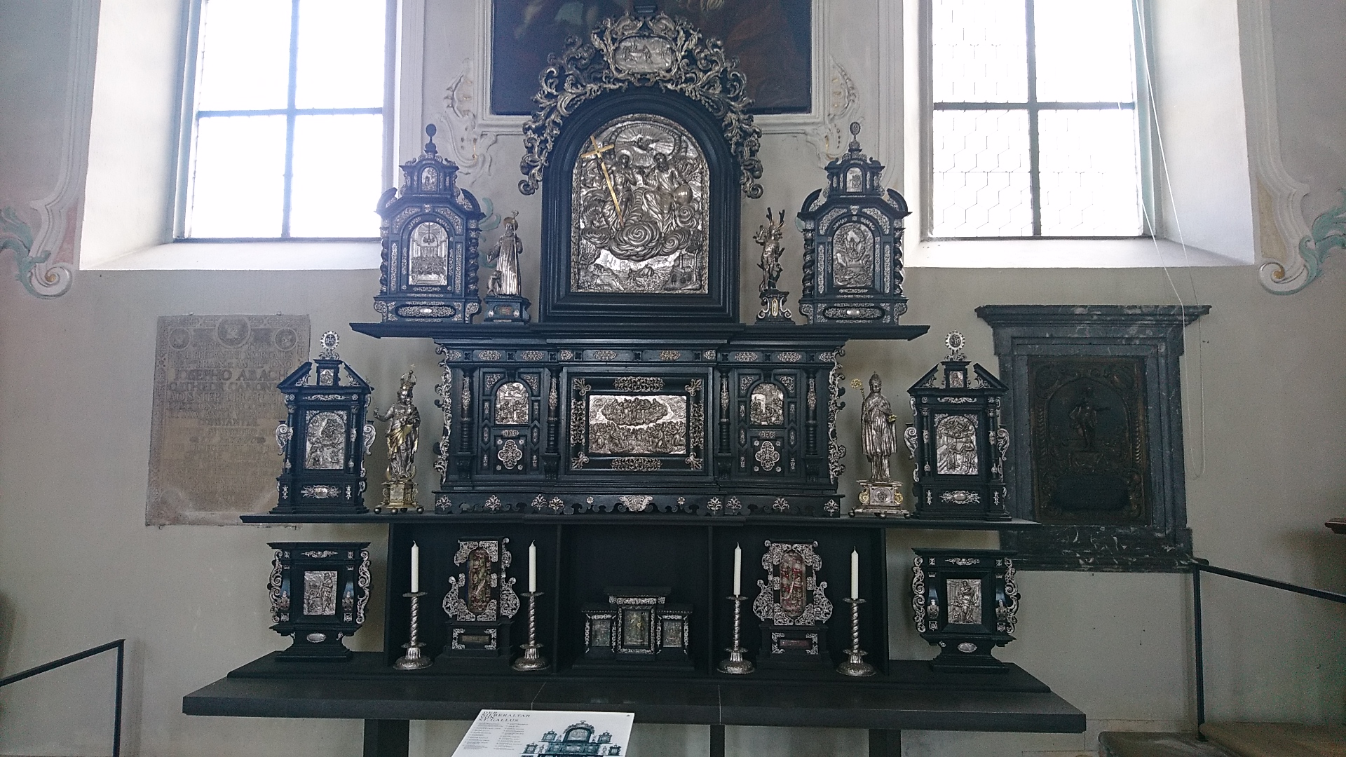
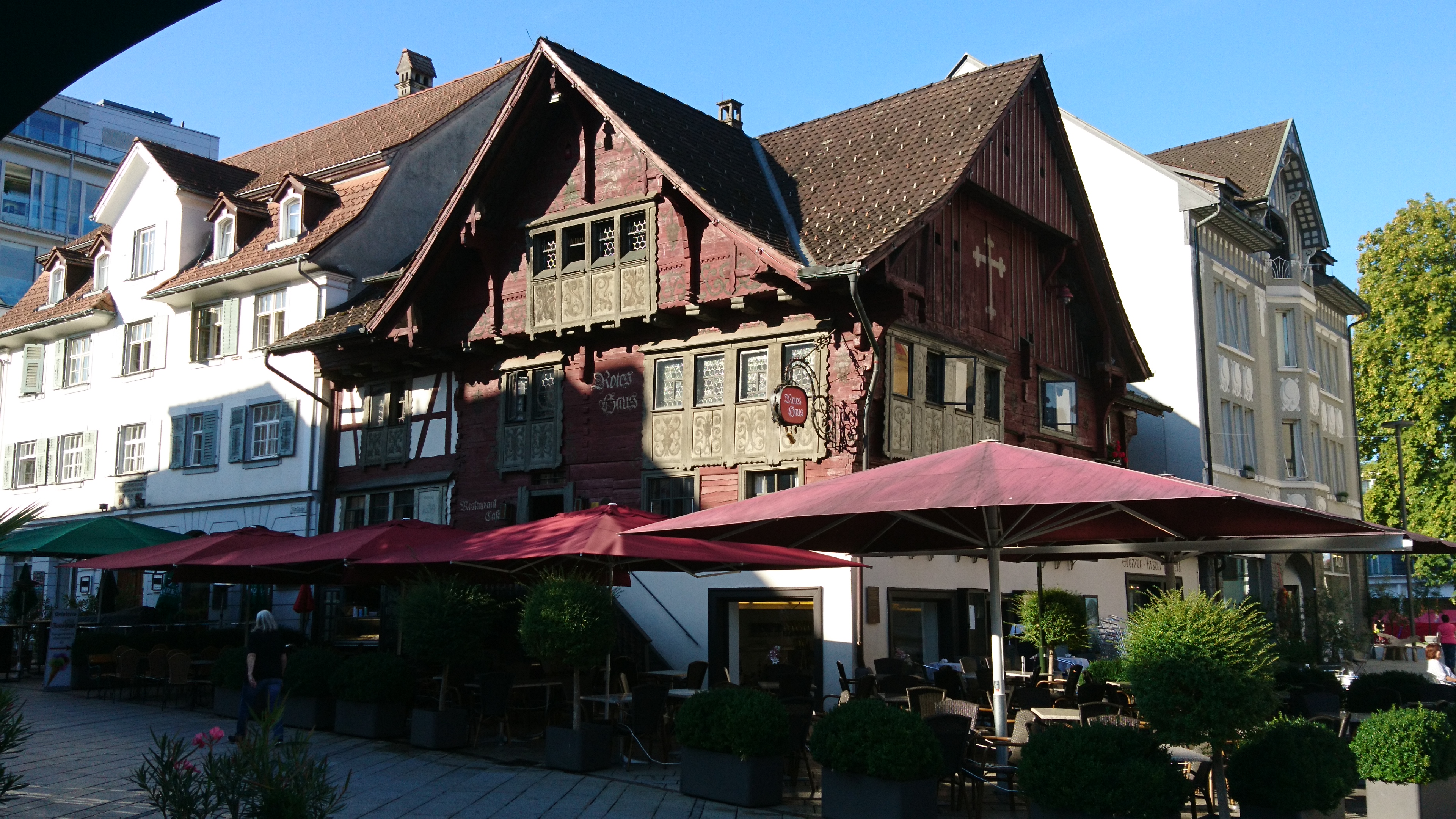
Dornbirn is mentioned in a St Gallen document issued in 895. According to this, Dornbirn belonged to the Monastery of St Gallen in the following decades.

Just like the whole of the Rhine Valley, the textile industry was, and still is today, an important industry.

Numerous chapels suggest the great religiousness of the community.

A cable car runs up to the Karren, a beautiful lookout point. From there one can walk downhill through the impressive Rappenloch Gorge. This can also be reached directly from the town center.

Along the foot of the mountain, we now continue our trail to Hohenems.
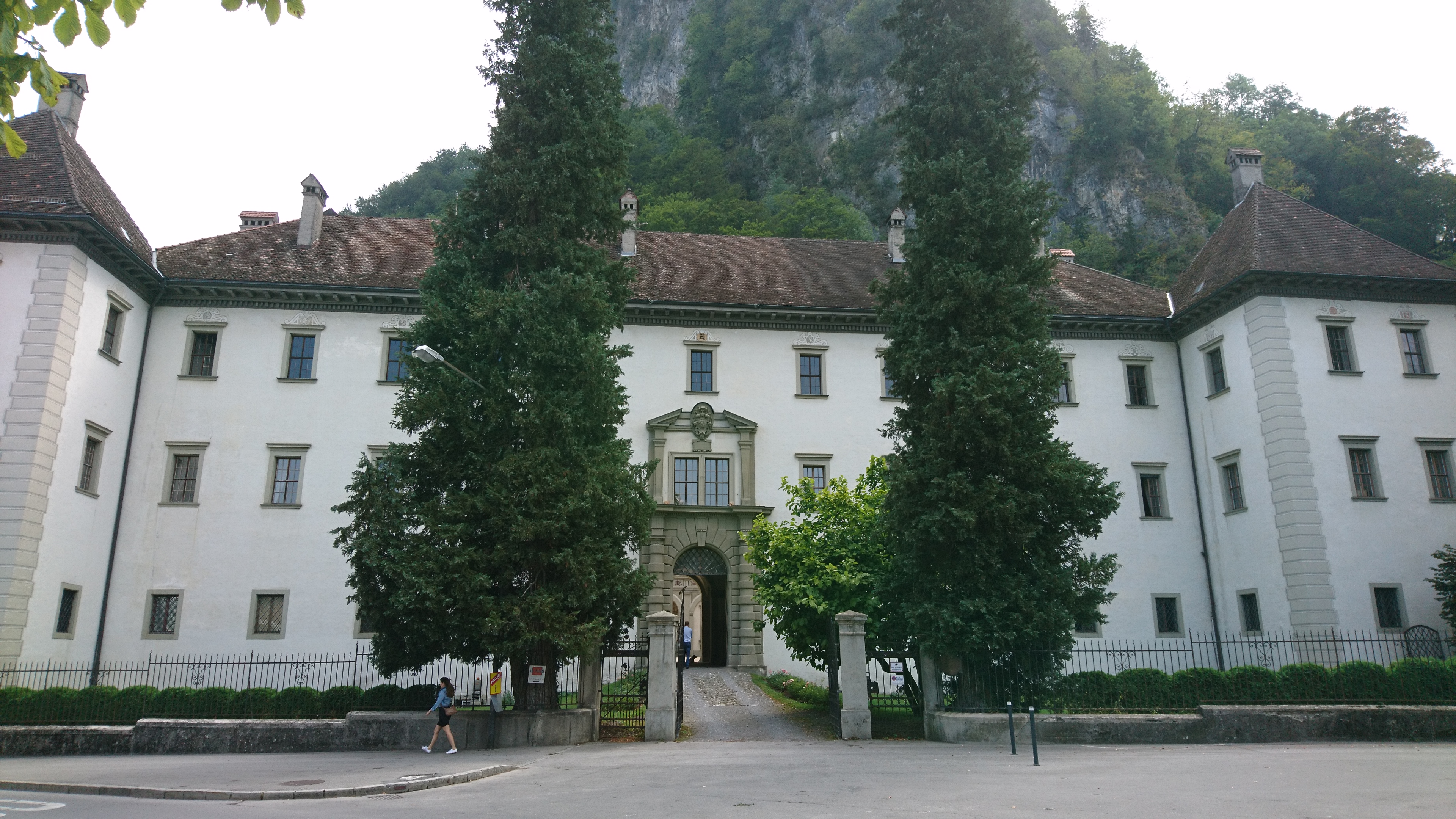
Km 24 Hohenems. The Hohenems Palace, the former residence of the Earls of Hohenems, is located in the town. In the 18th Century, two of the three most important manuscripts of the Song of the Nibelungs were found in the Palace library. Hohenems was the residence of numerous Jewish families from the 17th Century to the 19th Century. In the 20th Century, Hohenems became world famous for its annual Schubertiade Music Festival.

There are two routes from Hohenems to Chur:

Stages 14a Hohenems – Feldkirch, 15a Feldkirch – Balzers and 16a Balzers – Chur

Stages 14b Hohenems – Haag, 15b Haag – Sargans and 16b Sargans – Chur

The variant on Haag and Sargans offers the opportunity to visit a place that played an important role in the Gallus vita: Grabs. This is where Gallus fled across the Saxerlücke – a mountain above Grabs – to avoid possible reprisals by the Duke. In Grabs he also decided not to follow Columban to Bobbio but to retire to Steinachtobel. A fountain and the Gallus-Center with Columbans Way plaque commemorate Gallus‘ presence in this place.


Unterkünfte

Etappe 13: Bregenz – Hohenems

Details

  • Bregenz

  • Hohenems

  • 24 km

  • 06:00 h

  • 120 m

  • 95 m

Nous commençons l’étape d’aujourd’hui vers l’église Saint-Gall.

Points d’intérêt

Après un kilomètre, nous nous trouvons près de l’église Saint-Colomban, construite entre 1962 et 1966. Elle est située au pied du Gebhardsberg (avec sa chapelle de pèlerinage bien fréquentée).

Quelque 300 m plus loin, nous atteignons la rive de la Bregenzer Ach. Nous traversons cette rivière, tournons vers l’ouest et jetons un regard sur les plaques de sable au milieu de la rivière (reliques d’un rivage fossilisé d’il y a 20 millions d’années). Au pont de chemin de fer, nous quittons la Bregenzer Ach, nous nous dirigeons vers le sud et suivons un peu plus de 1 km la voie ferrée.

En quittant l’agglomération de Bregenz, le panneau indique le chemin en direction de Lauterach. Le sentier de randonnée, balisé en jaune et blanc, nous conduit sur environ un demi-kilomètre le long de la voie ferrée jusqu’à un virage vers la droite, que nous suivons sur environ 500m jusqu’à ce que nous arrivions à un passage souterrain. Nous passons sous la voie ferrée et suivons maintenant le panneau indiquant Jannersee. Celui-ci se trouve au milieu du Lauteracher Riet et offre un simple lieu de repos.

Nous restons sur ce chemin et après encore 2,5 km atteignons les rives du Dornbirner Ach. A gauche et un peu plus d’un kilomètre plus loin, nous arrivons à un pont en bois, que nous traversons (attention à la circulation!). Nous tournons immédiatement à gauche. En suivant le désormais sinueux Ache, nous marchons vers Dornbirn, traversons sous l’autoroute et continuons sur les rives du Dornbirn Ach.
Si vous souhaitez visiter la ville, quittez l’Ach après environ 3,5 km et tournez vers le centre-ville. Ceux qui continuent tout droit suivent la Dornbirner Ach.

Km 15 Dornbirn. Les preuves les plus anciennes de la présence humaine dans la municipalité de Dornbirn d’aujourd’hui peuvent être datées à l’Âge de la pierre (8’000 à 3’000 av. JC.). Des pièces de monnaie du 2ème siècle et une fibule du 1er siècle prouvent la présence romaine dans l’agglomération de Dornbirn. La première référence à une colonie dans la région de Dornbirn actuelle est fournie par une tombe alémanique des 6ème et 7ème siècle.

Dans une note d’un document de St-Gall publié en 895, Dornbirn est mentionné ce qui veut dire que le monastère de St-Gall possédait donc des terrains également dans les décennies suivantes dans cette région.

Comme dans toute la vallée du Rhin, l’industrie textile était et reste encore aujourd’hui un secteur économique important.

De nombreuses chapelles témoignent de la grande piété de la population.

De Dornbirn, un téléphérique mène au Karren, un point de vue magnifique. De là, on peut descendre dans l’impressionnante gorge (Rappenloch).

Au pied de la montagne on continue jusqu’à

Km 24 Hohenems. Dans la ville se trouve le palais Hohenems, l’ancien château fort des comtes de Hohenems. Au 18ème siècle, deux des trois manuscrits les plus significatifs du fameux « Nibelungenlied » ont été trouvés dans la bibliothèque du palais. Hohenems était la résidence de nombreuses familles juives du 17ème au 19ème siècle. Au 20ème siècle, Hohenems est devenu mondialement célèbre grâce au festival de musique annuel „Schubertiade„.

De Hohenems à Coire il y a deux options:

Etapes 14a Hohenems – Feldkirch, 15a Feldkirch – Balzers et 16a Balzers – Chur

Etapes 14b Hohenems – Haag, 15b Haag – Sargans et 16b Sargans – Chur

En prenant l’option par Haag et Sargans nous avons la possibilité de visiter un endroit qui a joué un rôle important dans la vita de Saint-Gall: Grabs. Saint-Gall s’était enfuit par la montagne à cet endroit pour éviter des répressailles éventuelles du duc. C’est à Grabs que Saint-Gall avait décidé de rester dans la gorge de la Steinach et de ne pas suivre Saint-Colomban à Bobbio. Une fontaine et le Galluszentrum avec plaquette du Chemin de Colomban rappellent Gall.


Unterkünfte

360 android apple household left loading location map marker menu nav-info nav-map nav-qr-code nav-quizz right search square tick trophy update