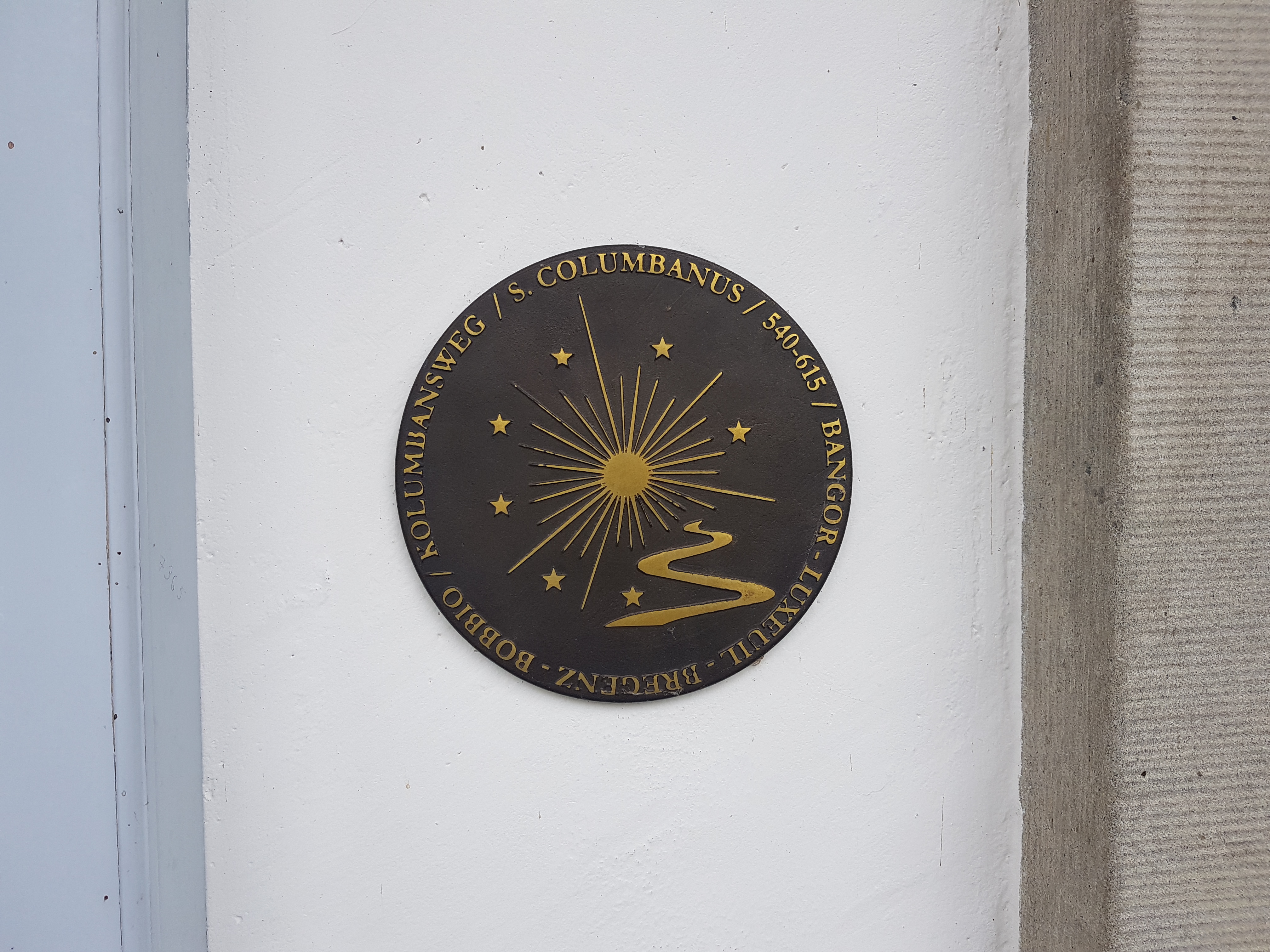
From Wädenswil there is an alternative to the route via Pfäffikon-Rapperswil-Wattwil, namely via Tuggen-Schmerikon-Wattwil. Tuggen is a location where Columbanus and Gall made a stop so it is definitely a place of interest.
Sights and facts
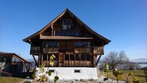
| Km 3.5 | From Wädenswil we walk along the beautiful shore of the Lake to Richterswil. From Wädenswil Railway Station it is best to follow the main road for about one kilometer and then cross the railway lines to reach the lake shore. The signpost is marked ‘Richterswil Lake Shore Way’. In Richterswil we can admire some well-maintained half-timbered houses and the Station, which is a listed building.
 Those who prefer an easy but somewhat busy route continue to follow the lakeside path. Between Richterswil and Bäch it follows the main road, which we unfortunately have to follow for about 2.5 km. The lakeshore is built up by large estates that border directly on the lake and do not allow any passage. From Freienbach we walk along the railway tracks to Pfäffikon. The more attractive, but more strenuous path, which is also marked on the map, leaves the lake in Richterswil on path 84 (Zürichsee-Rundweg) and climbs about 150 metres in altitude between the houses. Soon the „Pilgerweg“ (see the signposts) picks us up and we cover the next few metres in altitude. At the signpost „Schwalbenboden“ at 525müM we leave trail 84 and hike between vineyards towards Wollerau. The signpost shows us the way to go: Freienbach and Pfäffikon. |
| Km 9 | Freienbach is in Canton Schwyz. The Ufenau and Lützelau islands belong to the local council area of Freienbach as well as a part of the Etzel Pass. This crosses over to Einsiedeln, which is also on the St James’ Way. Both islands were mentioned in a document from the Monestary of St Gall in 741.
|
| Km 11.5 | Pfäffikon. A boardwalk on the opposite side of the lake stems from around 1500 BC. Since 1878 a connection to Rapperswil has existed on the Lake dam. Pfäffikon has always been a transport hub: east-west along the Lake of Zurich and north-south from Rapperswil- Jona in the direction of Einsiedeln.
From Pfäffikon we take the hiking trail „84 Zürichsee-Rundweg“ towards Lachen. The beautiful hiking trail is laid out between the lake shore and the railway line. Very beautiful views on the other side of the lake include the imposing Rapperswil Castle. 

|
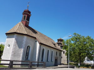
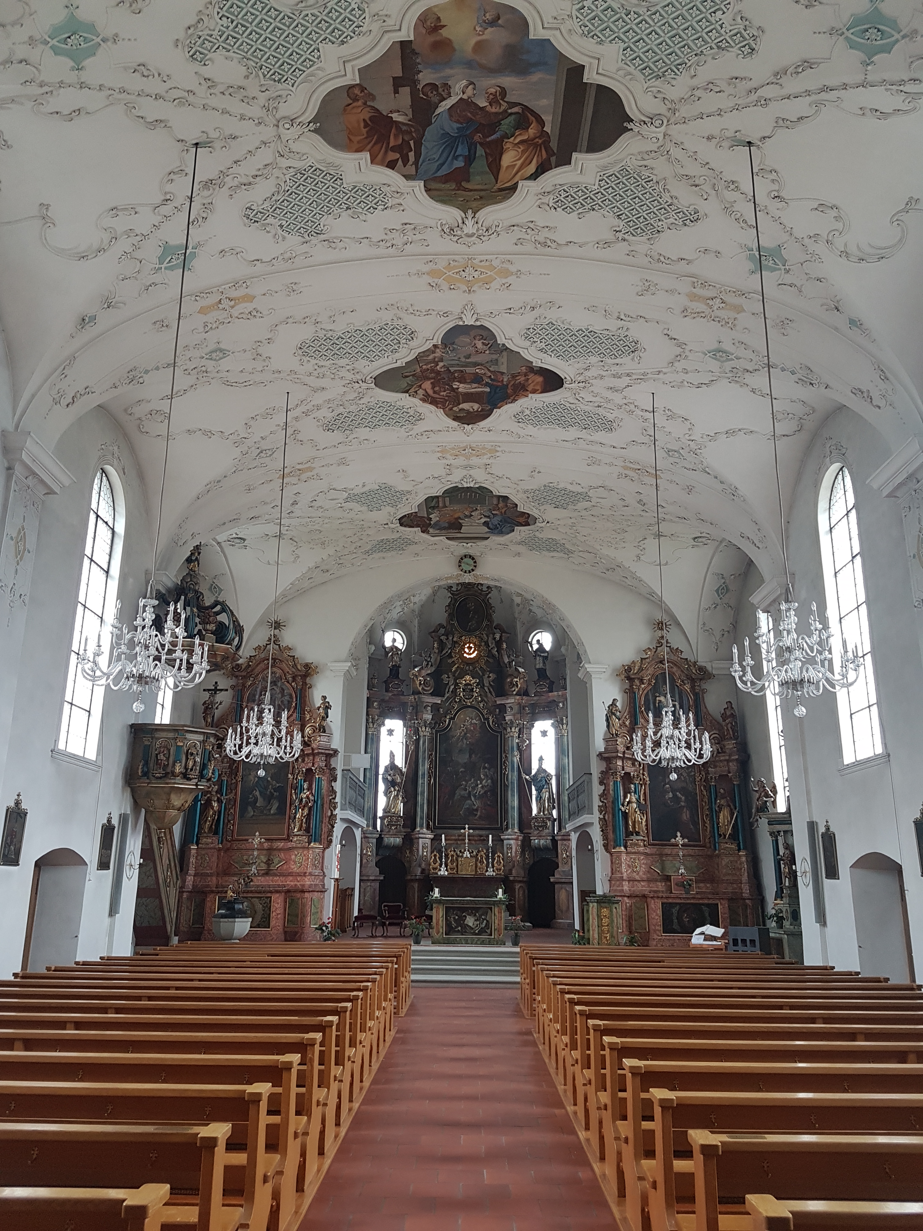
| Km 18 | Lachen. The Catholic Parish Church of the Holy Cross is worth visiting. It was constructed from 1707–1711. The plans for the Church are attributed to the Einsiedeln Monastery architect Brother Caspar Moosbrugger.
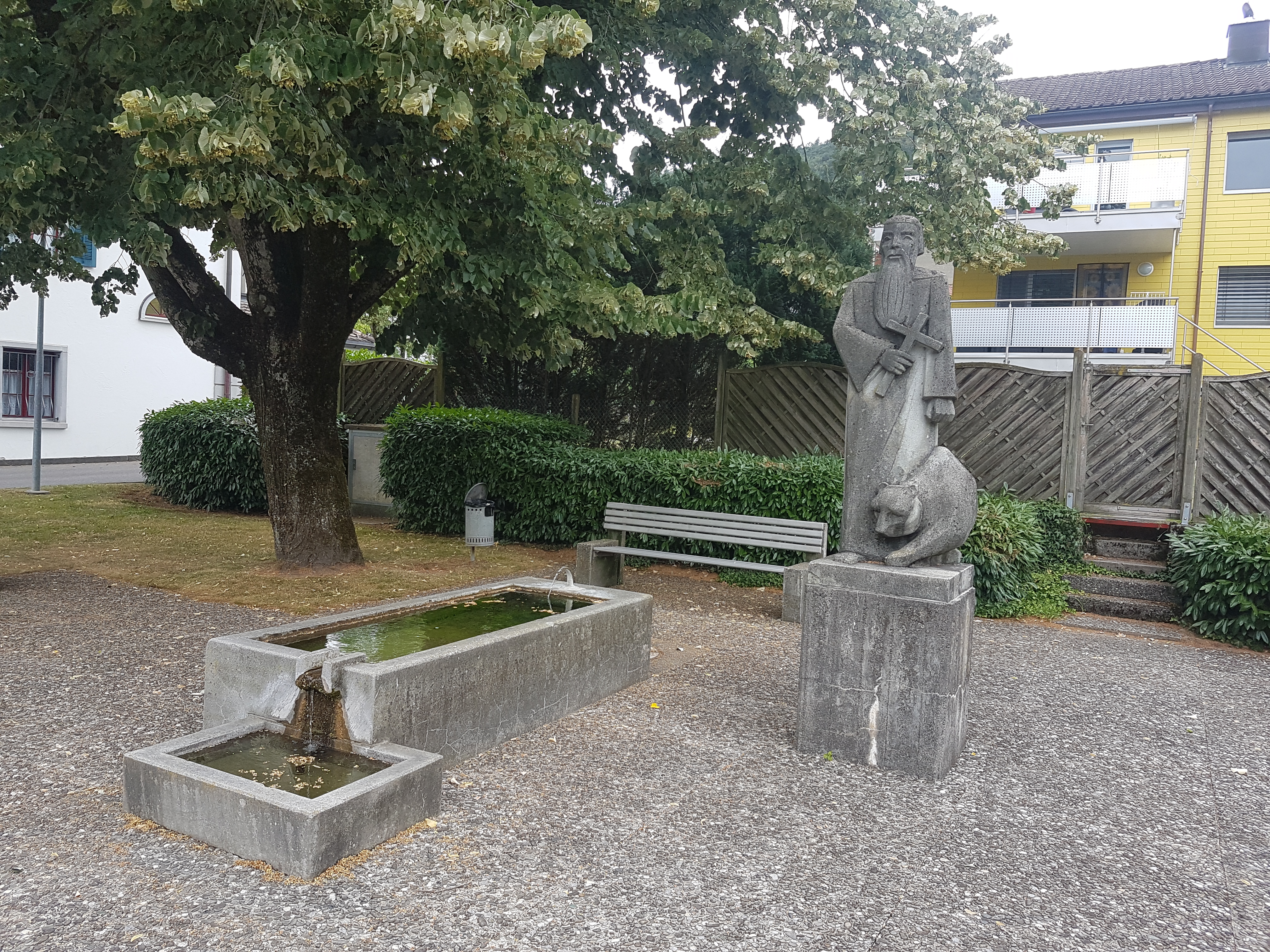
In Lachen we continue to hike on the 84 path towards Nuolen. Outside Lachen we leave the airfield on the left and cross a nature reserve before Nuolen welcomes us. In the middle of the village we turn right and shortly afterwards left towards Grinau and Uznach. These two place names on the hiking trail signs and number 84 lead us upwards, past the golf course to the signpost that leads to the left into the forest. Here we leave the „Zürichsee-Rundweg“ No. 84 and stay on the road to the hamlet of Weingarten. We continue slightly downhill, where after about 300m we cross a street and continue on our way. After another 300m we come to a farm, turn left and now follow Jakobsweg No. 4 towards Tuggen. The church and the Gallus Fountain are in the center of the village.  


|
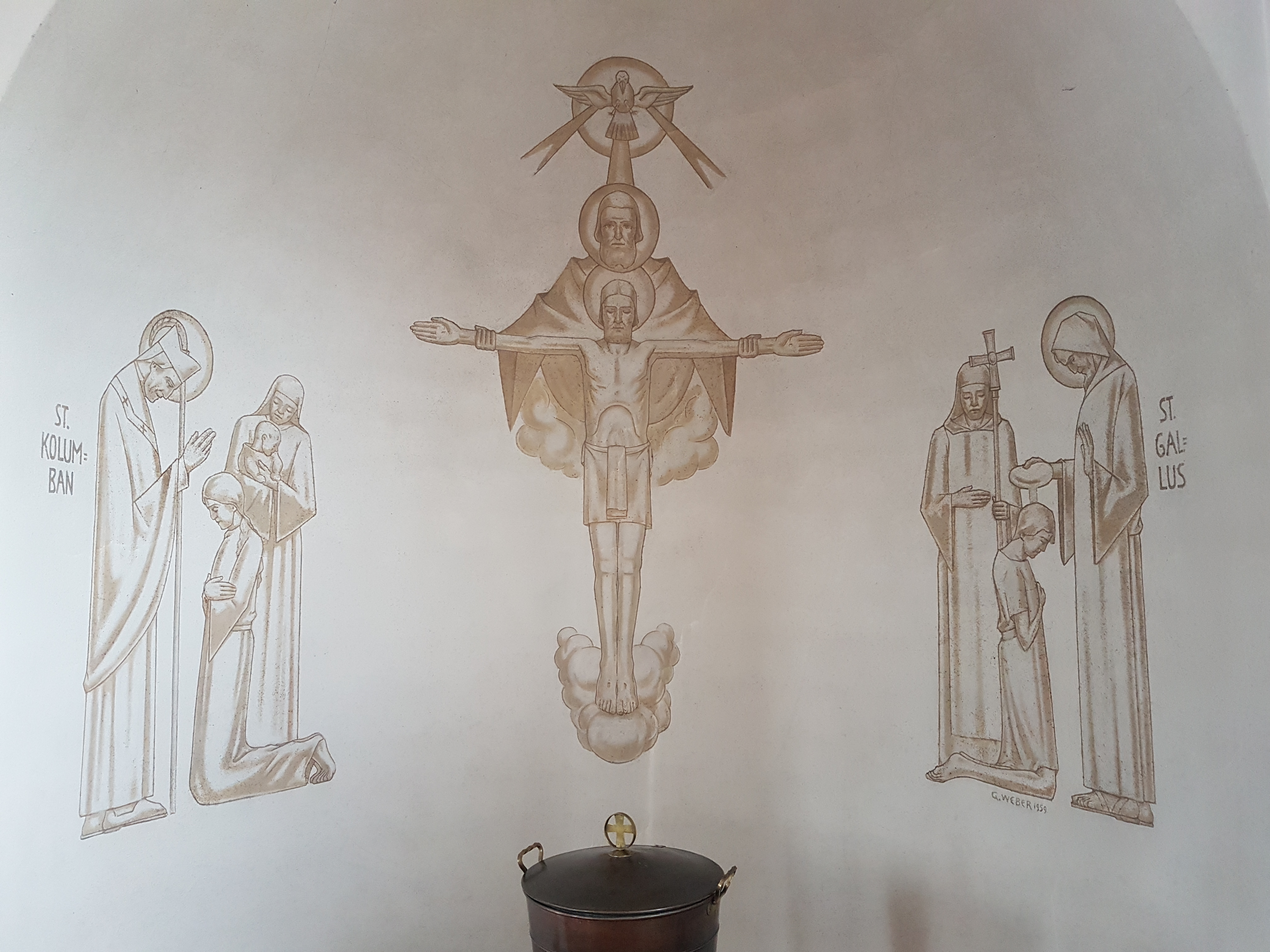
| Km 28 | Columbanus and Gall visited Tuggen around 610. They had to flee the place because Gall burnt down a heathen temple there and threw their offerings into the lake. Nowadays, Gall is on the coat of arms here. Until about 1550 the Tuggen Lake almost reached the village.


|