Etappe 6: Zurich – Wädenswil

Details

  • Zürich

  • Wädenswil

  • 25 km

  • 06:15 h

  • 360 m

  • 360 m

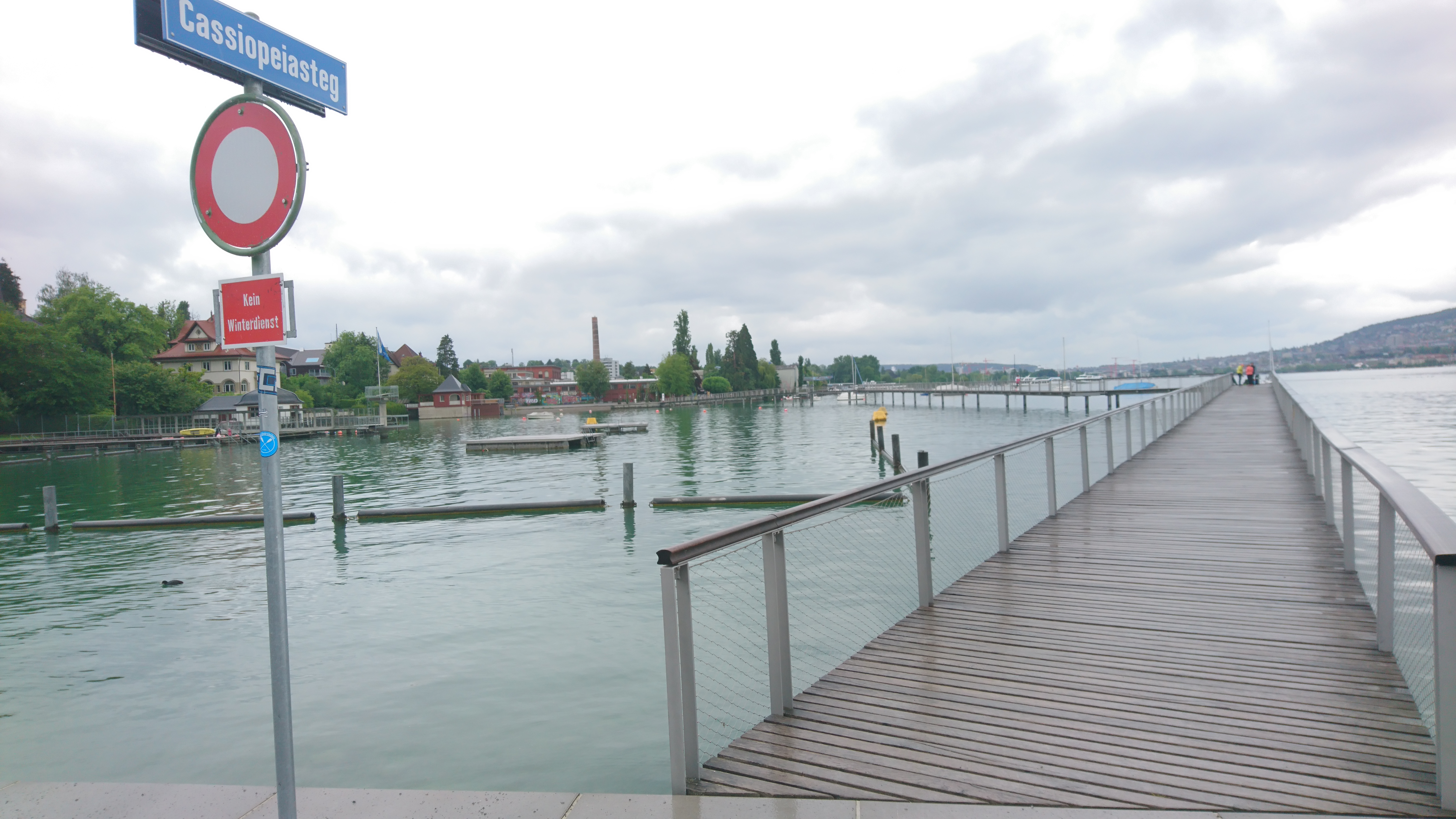
Two possible routes can be taken to continue the trail: the boat to Rapperswil (affordable accommodation is available in the Pilgerherberge ((Pilgrims’ Hostel)) in Rapperswil) or on foot along the south side of the Lake of Zurich. The route is described below. The trail offers beautiful areas along the shores of the Lake but also a fairly long route on an asphalt road. From Horgen onwards we pick up the trail again beside the Lake, some distance from the road. It would also be possible to take the train from Wollishofen to Horgen and continue the trail from there. Most of the walk along the road could therefore be avoided. Those who prefer to avoid the busy road can follow the alternative route just above the lake, a hiking trail through small villages. For this purpose, branch off from the main road at Wollishofen harbor, cross the railway line and climb up between the houses (Widmerstrasse), approx. 100 meters of altitude up to Kalchbühlstrasse, turn left and from there follow the hiking signs to Horgen, where you descend to the lake and follows the lakeshore towards Wädenswil.

Useful sights and facts

Km 5.5 If you wish to take your time, a cable car can carry you from Adliswil up to Felsenegg, where wonderful views across the Lake of Zurich can be enjoyed.
Km 10 In Thalwil a number of grand mansions can be seen which partially originate from the time of the Industrial Revolution, and principally from the textile industry in the 19th Century.
Km 19 Horgen. On the lakeside there are the remains of some lake dwellers’ residences (3’900 bis 3’500 v. Chr.). Two Celtic women’s graves in Thalacker hail from the 2nd Century while Alemannen graves from the 7th Century (around the time of Columbanus) can be found near the chapel in Stockerstrasse.

A ferry transports cars and foot passengers across the Lake from Horgen to Meilen.

Km 25 Wädenswil. Archaeological findings from the Neolithic and Bronze Ages confirm a settlement going back to Roman Times (1st Century). Wädenswil is today’s final goal.

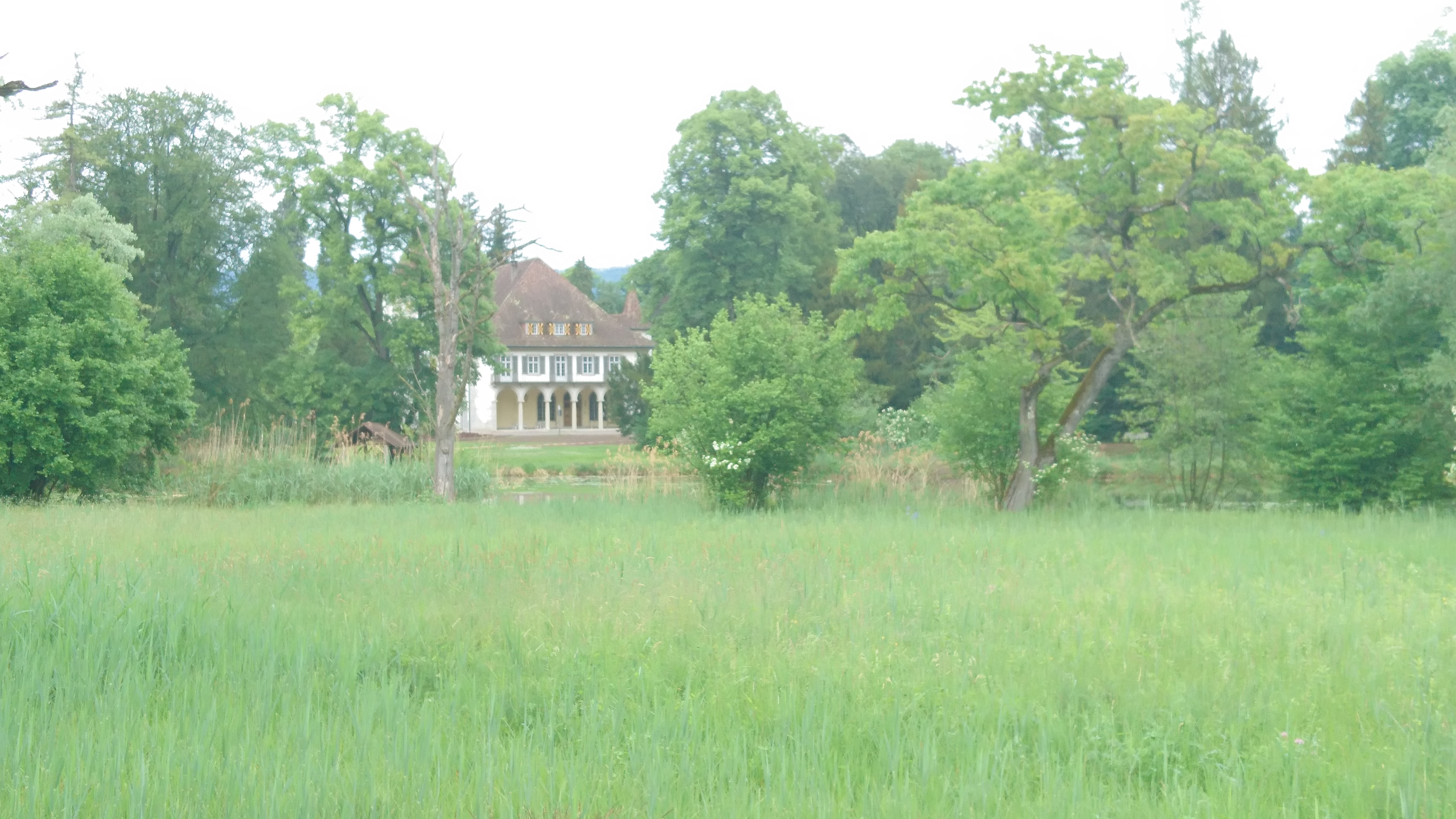
The large Rosenmatt Park is located below the reformed church. The richly structured building with tuff ornamentation and Art Nouveau elements was built in 1898 by Prof. Albert Müller, a student of the famous professor of architecture Gottfried Semper, for the silk industrialist Emil Gessner-Heussner. In 1939/40 the building was converted into today’s Reformed parish hall.

ATTENTION: From Wädenswil there are two possible routes for our next Stages.

Alternative 1: Stage 7a goes to Pfäffikon, then across the dam of the Lake to Rapperswil and then follows stage 8a from Rapperswil to Wattwil (the end goal).

Alternative 2: Stage 7b is the same route as stage 7a but it then branches off in Pfäffikon following the shore of the Lake to Tuggen (final goal). From Tuggen it continues along stage 8b to Wattwil (the end goal).

From Wattwil there is only one route we can take, namely that of Stage 9 to Magdenau (final goal).

Alternative 3: Another possibility is from Wädenswil: take the path to Einsiedeln (important place of pilgrimage) and spend the night there. For this purpose, walk along the lake to Richterswil (station). There you leave the lake and follow the signs to Einsiedeln. The next day the route (Way nr. 4) leads either via Pfäffikon to Rapperswil or directly to Tuggen, from where it is followed again by the ordinary route 7b (from Rapperswil) or 8b (from Tuggen).

Etappe 6: Zurich – Wädenswil

Details

  • Zurich

  • Wädenswil

  • 25 km

  • 06:15 h

  • 360 m

  • 360 m

De Zurich, il y a deux façons de continuer notre randonnée: prendre le bateau pour Rapperswil (il y existe une option d’hébergement dans l’auberge des pèlerins de Saint Jacques) ou suivre le côté sud du lac de Zurich à pied, ce qui est décrit ci-dessous. La route offre de belles sections sur la rive du lac, mais aussi un long tronçon de route avec de la circulation. La plus grande partie du chemin est asphaltée. Ce n’est que depuis Horgen que nous suivons les rives du lac et que nous nous éloignons de la route.

Il serait également possible de prendre le train de Wollishofen jusqu’à Horgen, d’où nous pouvons continuer à pied. Cela pourrait éviter une partie importante de route à grande circulation.

Si nous souhaitons faire de la randonnée tout en contournant la route très fréquentée, nous pouvons suivre le parcours alternatif situé juste au-dessus de la promenade du bord du lac, sur des sentiers de randonnée pavés aux alentours des villages. A cet effet, bifurquez de la route principale au port de Wollishofen, traversez la ligne de chemin de fer et montez entre les maisons (Widmerstrasse), environ 100 mètres d’altitude jusqu’à Kalchbühlstrasse, tournez à gauche et de là suivez les panneaux de randonnée jusqu’à Horgen, où vous descend au lac et suit le bord du lac en direction de Wädenswil.

Points d’intérêt

Km 5.5 Si nous prenons un peu de temps, nous pouvons nous faire transporter par une télécabine d’Adliswil jusqu’au Felsenegg et profiter de la magnifique vue sur le lac de Zurich.
Km 10 Thalwil abrite quelques maisons seigneuriales, dues en partie à l’industrialisation (industrie textile au 19ème siècle).
Km 19 Horgen. Sur les rives du lac, il y a des vestiges des habitants sur pilotis (3’900 à 3’500 av. JC). Les tombes de deux femmes celtes datent du 2ème siècle et du 7ème siècle, époque de Colomban.

De Horgen, un ferry conduit les voitures et les piétons à travers le lac jusqu’à Meilen.

Km 25 Wädenswil. Les découvertes archéologiques du néolithique et de l’âge du bronze témoignent d’une colonisation de l’époque romaine (1er siècle). Wädenswil est notre lieu d’étape aujourd’hui.

Le grand parc Rosenmatt est situé en contrebas de l’église réformée. Le bâtiment richement structuré avec des ornements en tuf et des éléments Art Nouveau a été construit en 1898 par Albert Müller, un étudiant du fameux professeur d’architecture Gottfried Semper, pour l’industriel de la soie Emil Gessner-Heussner. En 1939/40, le bâtiment a été transformé en salle paroissiale réformée.

Attention: à partir de Wädenswil, il y a deux voire trois possibilités pour les prochaines étapes:

Option 1: le sentier 7a mène à Pfäffikon, puis via le Seedamm (remblai) à Rapperswil (lieu d’étape) et 8a de Rapperswil à Wattwil (lieu d’étape).

Option 2: le chemin 7b est identique au chemin 7a jusqu’à Pfäffikon, mais ensuite, bifurque, longe le lac et mène à Tuggen (lieu d’étape). De Tuggen, nous continuons sur le chemin 8b jusqu’à Wattwil (lieu d’étape).

De Wattwil, il ne reste plus qu’un chemin: le 9 jusqu’à Magdenau (lieu d’étape)

Option 3: (cette option n’est pas dessinée sur la carte mais elle est facile à trouver).

Nous suivons le chemin 84 (Zürichsee Rundweg) jusqu’à la gare de Richterswil. Depuis là nous bifurquons en direction d’Einsiedeln ou nous visitons ce haut lieu de pèlerinage. Le lendemain nous suivons le chemin de Saint-Jacques No. 4 en direction de Pfäffikon. A partir de Pfäffikon nous suivons soit le chemin 7a à Rapperswil ou le chemin 7b vers Tuggen d’où le chemin régulier 7b (depuis Rapperswil) ou 8b (depuis Tuggen) est suivi.

360 android apple household left loading location map marker menu nav-info nav-map nav-qr-code nav-quizz right search square tick trophy update